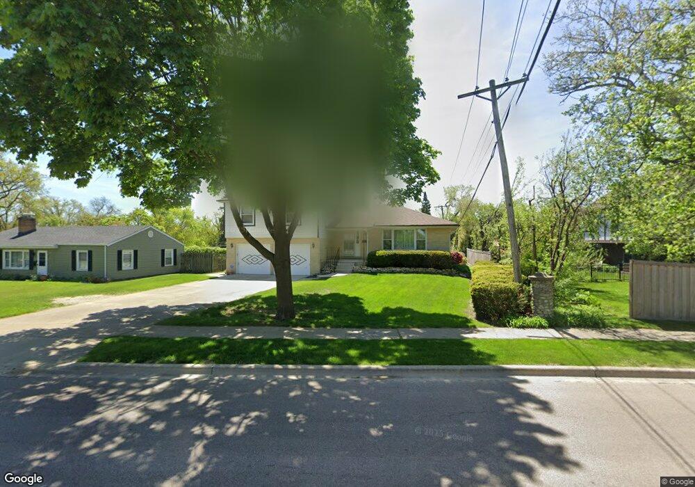
1608 Manchester Rd Wheaton, IL 60187
West Wheaton NeighborhoodEstimated Value: $507,159 - $578,000
4
Beds
3
Baths
2,056
Sq Ft
$268/Sq Ft
Est. Value
About This Home
This home is located at 1608 Manchester Rd, Wheaton, IL 60187 and is currently estimated at $550,790, approximately $267 per square foot. 1608 Manchester Rd is a home located in DuPage County with nearby schools including Clarence E Culver School, Emerson Elementary School, and Monroe Middle School.
Ownership History
Date
Name
Owned For
Owner Type
Purchase Details
Closed on
Jun 23, 2006
Sold by
Dressler Judy I and The Gustav Dressler & Irmgard
Bought by
Dressler Judy I and Skorburg John W
Current Estimated Value
Purchase Details
Closed on
Oct 6, 2000
Sold by
Dressler Gustav and Dressler Irmgard
Bought by
Dressler Gustav and Dressler Irmgard
Create a Home Valuation Report for This Property
The Home Valuation Report is an in-depth analysis detailing your home's value as well as a comparison with similar homes in the area
Home Values in the Area
Average Home Value in this Area
Purchase History
| Date | Buyer | Sale Price | Title Company |
|---|---|---|---|
| Dressler Judy I | -- | None Available | |
| Dressler Gustav | -- | -- |
Source: Public Records
Tax History Compared to Growth
Tax History
| Year | Tax Paid | Tax Assessment Tax Assessment Total Assessment is a certain percentage of the fair market value that is determined by local assessors to be the total taxable value of land and additions on the property. | Land | Improvement |
|---|---|---|---|---|
| 2024 | -- | $149,196 | $27,986 | $121,210 |
| 2023 | $8,740 | $137,330 | $25,760 | $111,570 |
| 2022 | $8,573 | $129,790 | $24,350 | $105,440 |
| 2021 | $8,543 | $126,710 | $23,770 | $102,940 |
| 2020 | $8,516 | $125,530 | $23,550 | $101,980 |
| 2019 | $8,320 | $122,220 | $22,930 | $99,290 |
| 2018 | $7,788 | $113,520 | $21,610 | $91,910 |
| 2017 | $7,669 | $109,330 | $20,810 | $88,520 |
| 2016 | $7,564 | $104,960 | $19,980 | $84,980 |
| 2015 | $7,502 | $100,130 | $19,060 | $81,070 |
| 2014 | $7,243 | $95,330 | $21,870 | $73,460 |
| 2013 | $7,057 | $95,620 | $21,940 | $73,680 |
Source: Public Records
Map
Nearby Homes
- 119 N Dorchester Ave
- 1321 W Liberty Dr
- 200 N Erie St
- 0S015 Cottonwood Dr
- 0N042 Nepil Ave
- 505 S Knollwood Dr
- 1222 Champion Forest Ct
- 615 Polo Dr
- 26W278 Harrison Ave
- 1489 Woodcutter Ln Unit A
- 620 Crest St
- 1785 Grosvenor Cir Unit A
- 0S064 Calvin Ct
- 2059 W Roosevelt Rd
- 906 W Roosevelt Rd
- 904 Dartmouth Dr
- 921 & 933 N College Ave
- 0N105 Lot 1 Nepil Ave
- 0N105 Lot 2 Nepil Ave
- 418 W Franklin St
- 217 White Oak Dr
- 213 White Oak Dr
- 210 N Pierce Ave
- 209 White Oak Dr
- 1520 Manchester Rd
- 1601 Manchester Rd
- 1601 Manchester Rd
- 1601 Manchester Rd
- 1601 Manchester Rd
- 206 N Pierce Ave
- 214 White Oak Dr
- 1516 Manchester Rd
- 219 N Pierce Ave
- 205 White Oak Dr
- 215 N Pierce Ave
- 210 White Oak Dr
- 202 N Pierce Ave
- 211 N Pierce Ave
- 302 Westwood Dr
- 207 N Pierce Ave