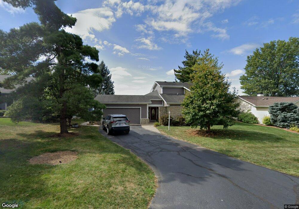
1608 W Port Ct Cicero, IN 46034
Estimated Value: $468,000 - $615,000
3
Beds
3
Baths
2,142
Sq Ft
$241/Sq Ft
Est. Value
About This Home
This home is located at 1608 W Port Ct, Cicero, IN 46034 and is currently estimated at $516,030, approximately $240 per square foot. 1608 W Port Ct is a home located in Hamilton County with nearby schools including Hamilton Heights Primary School, Hamilton Heights Elementary School, and Hamilton Heights Middle School.
Ownership History
Date
Name
Owned For
Owner Type
Purchase Details
Closed on
Nov 21, 2018
Sold by
Maxwell Larry Allen and Maxwell Jingyun
Bought by
Maxwel Larry Allen and Maxwel Jeanie
Current Estimated Value
Purchase Details
Closed on
Jun 23, 2009
Sold by
Maxwell Larry Allen
Bought by
Maxwell Larry Allen and Maxwell Jingyun
Home Financials for this Owner
Home Financials are based on the most recent Mortgage that was taken out on this home.
Original Mortgage
$200,000
Interest Rate
4.86%
Mortgage Type
New Conventional
Create a Home Valuation Report for This Property
The Home Valuation Report is an in-depth analysis detailing your home's value as well as a comparison with similar homes in the area
Home Values in the Area
Average Home Value in this Area
Purchase History
| Date | Buyer | Sale Price | Title Company |
|---|---|---|---|
| Maxwel Larry Allen | -- | None Available | |
| Maxwell Larry Allen | -- | None Available |
Source: Public Records
Mortgage History
| Date | Status | Borrower | Loan Amount |
|---|---|---|---|
| Closed | Maxwell Larry Allen | $200,000 |
Source: Public Records
Tax History Compared to Growth
Tax History
| Year | Tax Paid | Tax Assessment Tax Assessment Total Assessment is a certain percentage of the fair market value that is determined by local assessors to be the total taxable value of land and additions on the property. | Land | Improvement |
|---|---|---|---|---|
| 2024 | $4,198 | $419,800 | $203,300 | $216,500 |
| 2023 | $3,872 | $386,200 | $203,300 | $182,900 |
| 2022 | $3,208 | $336,200 | $177,000 | $159,200 |
| 2021 | $3,208 | $322,000 | $177,000 | $145,000 |
| 2020 | $3,208 | $322,000 | $177,000 | $145,000 |
| 2019 | $3,209 | $322,100 | $119,600 | $202,500 |
| 2018 | $3,122 | $310,900 | $119,600 | $191,300 |
| 2017 | $2,892 | $287,900 | $119,600 | $168,300 |
| 2016 | $2,893 | $288,000 | $119,600 | $168,400 |
| 2014 | $2,558 | $254,600 | $119,600 | $135,000 |
| 2013 | $2,558 | $259,700 | $119,600 | $140,100 |
Source: Public Records
Map
Nearby Homes
- 2628 Inlet Dr
- 1367 Sherman Cir
- 2390 Lincoln Dr
- 2340 Lincoln Dr
- 88 Cedar Ln
- 73 Forest Hollow Dr
- 21450 Oakview Dr
- 21529 Shorevista Ln
- 7161 Oakview Cir
- 7175 Oakbay Dr
- 1940 Stringtown Pike
- 7096 Oakbay Dr
- 1306 N Catamaran Cir
- 7020 Oakbay Dr
- 1209 Half Moon Ln
- 101 Edgewater Dr
- 103 Edgewater Dr
- 221 Common Loon Blvd
- 815 Morse Landing Dr
- 20846 Winding Lake Dr E
- 1598 Northport Dr
- 1618 W Port Ct
- 1609 W Port Ct
- 1588 Northport Dr
- 1599 Northport Dr
- 1578 E Port Ct
- 1589 Northport Dr
- 1568 E Port Ct
- 1579 Northport Dr
- 1558 E Port Ct
- 1576 Northport Dr
- 1529 Eastport Ct
- 1548 E Port Ct
- 2630 Stringtown Pike
- 1569 Northport Dr
- 1538 E Port Ct
- 1556 Northport Dr
- 1567 Northport Dr
- 1528 Eastport Ct
- 1528 E Port Ct