16080 Whitney Rd Strongsville, OH 44136
Estimated Value: $252,000 - $283,000
2
Beds
1
Bath
1,470
Sq Ft
$181/Sq Ft
Est. Value
About This Home
This home is located at 16080 Whitney Rd, Strongsville, OH 44136 and is currently estimated at $265,451, approximately $180 per square foot. 16080 Whitney Rd is a home located in Cuyahoga County with nearby schools including Strongsville High School, Sts Joseph & John Interparochial School, and Bethel Christian Academy.
Ownership History
Date
Name
Owned For
Owner Type
Purchase Details
Closed on
Aug 7, 2009
Sold by
Pavlasek Richard A
Bought by
Pavlasek Joseph J and Pavlasek Robert J
Current Estimated Value
Purchase Details
Closed on
Mar 8, 2002
Sold by
Kempski Lillian
Bought by
Pavlasek Richard A and Pavlasek Joseph J
Purchase Details
Closed on
Aug 24, 1989
Sold by
Kempski Harry M
Bought by
Kempski Lillian
Purchase Details
Closed on
Aug 9, 1988
Sold by
Kempski Harry M
Bought by
Kempski Harry M
Purchase Details
Closed on
Jun 10, 1988
Sold by
Kempski Harry M and Kempski Lillian
Bought by
Kempski Harry M
Purchase Details
Closed on
Jan 1, 1975
Bought by
Kempski Harry M and Kempski Lillian
Create a Home Valuation Report for This Property
The Home Valuation Report is an in-depth analysis detailing your home's value as well as a comparison with similar homes in the area
Home Values in the Area
Average Home Value in this Area
Purchase History
| Date | Buyer | Sale Price | Title Company |
|---|---|---|---|
| Pavlasek Joseph J | $47,300 | Attorney | |
| Pavlasek Richard A | -- | -- | |
| Kempski Lillian | -- | -- | |
| Kempski Harry M | -- | -- | |
| Kempski Harry M | -- | -- | |
| Kempski Harry M | -- | -- |
Source: Public Records
Tax History Compared to Growth
Tax History
| Year | Tax Paid | Tax Assessment Tax Assessment Total Assessment is a certain percentage of the fair market value that is determined by local assessors to be the total taxable value of land and additions on the property. | Land | Improvement |
|---|---|---|---|---|
| 2024 | $3,416 | $81,830 | $46,270 | $35,560 |
| 2023 | $3,345 | $62,230 | $23,030 | $39,200 |
| 2022 | $3,347 | $62,230 | $23,030 | $39,200 |
| 2021 | $3,321 | $62,230 | $23,030 | $39,200 |
| 2020 | $3,058 | $52,290 | $19,360 | $32,940 |
| 2019 | $2,969 | $149,400 | $55,300 | $94,100 |
| 2018 | $2,504 | $52,290 | $19,360 | $32,940 |
| 2017 | $2,354 | $43,960 | $15,190 | $28,770 |
| 2016 | $2,335 | $43,960 | $15,190 | $28,770 |
| 2015 | $2,282 | $43,960 | $15,190 | $28,770 |
| 2014 | $2,282 | $42,670 | $14,740 | $27,930 |
Source: Public Records
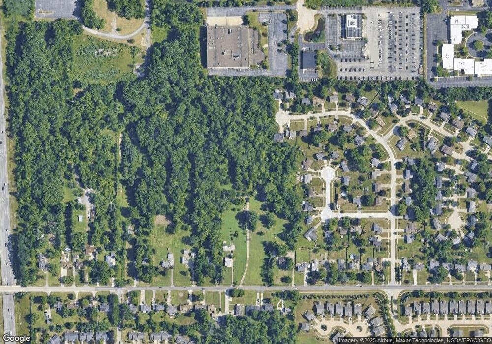
Map
Nearby Homes
- 9129 Tahoe Cir
- 9945 Twelve Oaks Cir
- 9890 Webster Rd
- 10010 Chevy Chase
- 10369 Council Bluff
- 18203 Broxton Dr
- 9531 Nicole Cir
- 18433 Whitney Rd
- 7685 Saratoga Rd
- 15485 Albion Rd
- 14015 Byron Blvd
- 16519 Albion Rd
- 0 Webster Rd
- 13976 W Sprague Rd
- 18737 Evergreen Dr
- 7475 Lanier Dr
- 16347 Craigmere Dr
- Buchanan Plan at The Enclave at Pine Lakes Crossing
- Belleville Plan at The Enclave at Pine Lakes Crossing
- 16691 Craigmere Dr
- 16078 Whitney Rd
- 8434 Groveside Dr
- 15631 Bittersweet Ct
- 15659 Bittersweet Ct
- 15687 Bittersweet Ct
- 8536 Groveside Dr
- 15715 Bittersweet Ct
- 15603 Bittersweet Ct
- 15743 Bittersweet Ct
- 8622 Groveside Dr
- 8413 Groveside Dr
- 8455 Groveside Dr
- 15771 Bittersweet Ct
- 15618 Bittersweet Ct
- 16216 Whitney Rd
- 8497 Groveside Dr
- 8698 Groveside Dr
- 16070 Whitney Rd
- 16264 Whitney Rd
- 15832 Bittersweet Ct