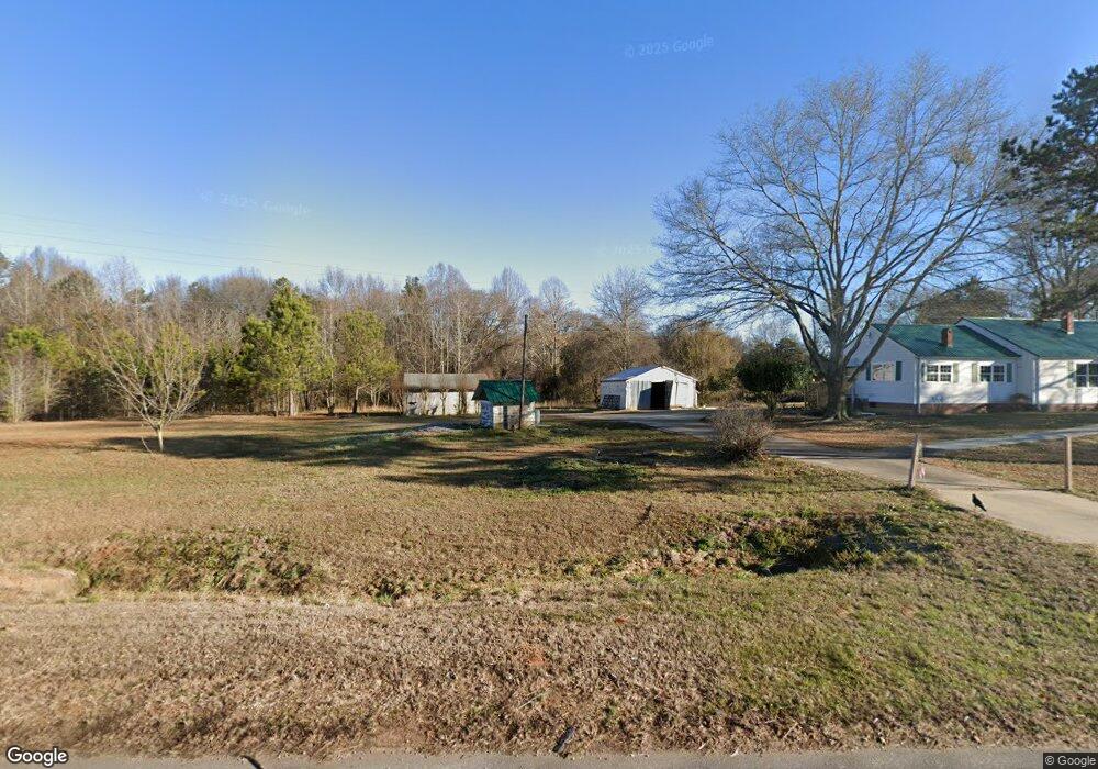
16082 Highway 17 Martin, GA 30557
Estimated Value: $230,485 - $362,000
2
Beds
1
Bath
1,544
Sq Ft
$177/Sq Ft
Est. Value
About This Home
This home is located at 16082 Highway 17, Martin, GA 30557 and is currently estimated at $273,371, approximately $177 per square foot. 16082 Highway 17 is a home located in Franklin County with nearby schools including Franklin County High School and Shepherds Hill Academy.
Ownership History
Date
Name
Owned For
Owner Type
Purchase Details
Closed on
May 22, 2023
Sold by
Harris Russell F
Bought by
Vision Property Partners Llc
Current Estimated Value
Purchase Details
Closed on
Oct 11, 2019
Sold by
Kim Cristina
Bought by
Harris Russell and Harris Lisa M
Purchase Details
Closed on
Jul 19, 2019
Sold by
Kim Cristina
Bought by
Yuille Julian and Yuille Sara
Purchase Details
Closed on
Oct 2, 2018
Sold by
Sb33 Enterprise Llc
Bought by
Kim Cristina
Purchase Details
Closed on
Jan 26, 2018
Sold by
Kim Hyun Bok
Bought by
Sb33 Enterprise Llc
Home Financials for this Owner
Home Financials are based on the most recent Mortgage that was taken out on this home.
Original Mortgage
$75,000
Interest Rate
3.99%
Mortgage Type
New Conventional
Purchase Details
Closed on
Dec 30, 2014
Sold by
Ertzberger Lawernce G Esta
Bought by
Kim Ryun Bok and Kim Cristina
Purchase Details
Closed on
Dec 2, 1997
Bought by
Ertzberger Lawernce
Create a Home Valuation Report for This Property
The Home Valuation Report is an in-depth analysis detailing your home's value as well as a comparison with similar homes in the area
Home Values in the Area
Average Home Value in this Area
Purchase History
| Date | Buyer | Sale Price | Title Company |
|---|---|---|---|
| Vision Property Partners Llc | $225,000 | -- | |
| Harris Russell | $52,500 | -- | |
| Yuille Julian | $35,000 | -- | |
| Kim Cristina | $78,383 | -- | |
| Sb33 Enterprise Llc | $95,000 | -- | |
| Kim Ryun Bok | $85,000 | -- | |
| Ertzberger Lawernce | -- | -- |
Source: Public Records
Mortgage History
| Date | Status | Borrower | Loan Amount |
|---|---|---|---|
| Previous Owner | Sb33 Enterprise Llc | $75,000 |
Source: Public Records
Tax History Compared to Growth
Tax History
| Year | Tax Paid | Tax Assessment Tax Assessment Total Assessment is a certain percentage of the fair market value that is determined by local assessors to be the total taxable value of land and additions on the property. | Land | Improvement |
|---|---|---|---|---|
| 2024 | $773 | $32,458 | $10,944 | $21,514 |
| 2023 | $787 | $30,502 | $10,944 | $19,558 |
| 2022 | $741 | $28,738 | $10,944 | $17,794 |
| 2021 | $560 | $20,342 | $5,136 | $15,206 |
| 2020 | $566 | $20,342 | $5,136 | $15,206 |
| 2019 | $1,021 | $43,303 | $28,097 | $15,206 |
| 2018 | $657 | $43,225 | $26,662 | $16,563 |
| 2017 | $676 | $43,225 | $26,662 | $16,563 |
| 2016 | $637 | $41,048 | $26,662 | $14,386 |
| 2015 | -- | $41,048 | $26,662 | $14,386 |
| 2014 | -- | $40,193 | $27,568 | $12,625 |
| 2013 | -- | $40,486 | $27,568 | $12,918 |
Source: Public Records
Map
Nearby Homes
- 16834 Georgia 17
- 919 Pleasant Hill Cir
- 0 Fairview Farms Unit 7680882
- 0 Fairview Farms Unit 10623287
- 1057 Pleasant Hill Cir
- 450 N Clarks Creek Rd
- 0 Deer Run Trail Unit 10622166
- 2355 Price Rd
- 1873 Price Rd
- 303 Blakely Chappelear Rd
- 103 Ross Place
- 2945 Pleasant Hill Rd
- 0 Moonlight Dr Unit 10598549
- 0 Commonwealth Unit Lot 9 & 10 CL339359
- 0 Commonwealth Unit LOT 9 & 10 10600825
- 0 Anderson Thomas Rd Unit 10614737
- 1380 Anderson Thomas Rd
- 0 Herron Rd Unit 14382283
- 574 Oil Mill Rd Unit 6
- 312 Grady Brock Rd Unit 19
- 16082 Georgia 17
- 105 Pleasant Hill Cir
- 15949 Highway 17
- 882 S Thomas Rd
- 15549 Highway 17
- 15463 Highway 17
- 15854 Highway 17
- 15859 Highway 17
- 205 Porter Rd
- 1366 Wilson Rd
- 380 Porter Rd
- 380 Porter Rd
- 1401 Wilson Rd
- 310 Clarks Creek Rd
- 454 Pleasant Hill Cir
- 88 Pea Ridge Ln
- 0 Annies Ln Unit 7185858
- 0 Annies Ln
- 415 Pleasant Hill Cir
- 150 Annies Ln