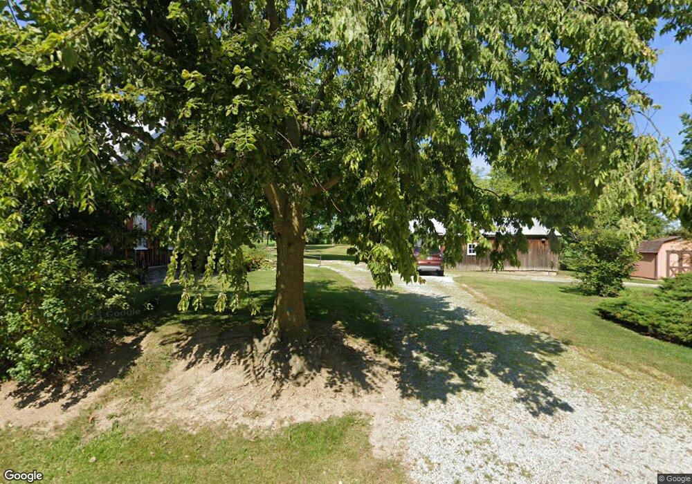
16084 State Route 294 Forest, OH 45843
Estimated Value: $109,556 - $117,000
3
Beds
1
Bath
1,384
Sq Ft
$83/Sq Ft
Est. Value
About This Home
This home is located at 16084 State Route 294, Forest, OH 45843 and is currently estimated at $114,519, approximately $82 per square foot. 16084 State Route 294 is a home with nearby schools including Upper Sandusky High School.
Ownership History
Date
Name
Owned For
Owner Type
Purchase Details
Closed on
Jun 26, 2024
Sold by
Wonder Melanie S and Perkins Heidi
Bought by
Troxel Brienna and Troxel Joshua
Current Estimated Value
Home Financials for this Owner
Home Financials are based on the most recent Mortgage that was taken out on this home.
Original Mortgage
$93,100
Outstanding Balance
$91,746
Interest Rate
7.02%
Mortgage Type
New Conventional
Estimated Equity
$22,774
Create a Home Valuation Report for This Property
The Home Valuation Report is an in-depth analysis detailing your home's value as well as a comparison with similar homes in the area
Home Values in the Area
Average Home Value in this Area
Purchase History
| Date | Buyer | Sale Price | Title Company |
|---|---|---|---|
| Troxel Brienna | $98,000 | None Listed On Document |
Source: Public Records
Mortgage History
| Date | Status | Borrower | Loan Amount |
|---|---|---|---|
| Open | Troxel Brienna | $93,100 |
Source: Public Records
Tax History Compared to Growth
Tax History
| Year | Tax Paid | Tax Assessment Tax Assessment Total Assessment is a certain percentage of the fair market value that is determined by local assessors to be the total taxable value of land and additions on the property. | Land | Improvement |
|---|---|---|---|---|
| 2025 | $750 | $31,610 | $7,000 | $24,610 |
| 2024 | $750 | $23,920 | $5,540 | $18,380 |
| 2023 | $750 | $23,920 | $5,540 | $18,380 |
| 2022 | $768 | $21,710 | $5,040 | $16,670 |
| 2021 | $730 | $21,710 | $5,040 | $16,670 |
| 2020 | $730 | $21,710 | $5,040 | $16,670 |
| 2019 | $728 | $21,710 | $5,040 | $16,670 |
| 2018 | $590 | $18,060 | $4,450 | $13,610 |
| 2017 | $600 | $18,060 | $4,450 | $13,610 |
| 2016 | -- | $18,060 | $4,450 | $13,610 |
| 2015 | -- | $17,560 | $4,450 | $13,110 |
| 2014 | -- | $17,560 | $4,450 | $13,110 |
| 2013 | -- | $17,560 | $4,450 | $13,110 |
Source: Public Records
Map
Nearby Homes
- 18205 County Highway 96
- 16190 Township Highway 97
- 15418 Ohio 37
- 0 Cr 215 Unit 11594771
- 0 Cr 215 Unit 11594600
- 0 Cr 215 Unit 25370311
- 0 Cr 215 Unit 11598074
- 3065 County Road 205
- 23385 Township Road 126
- 412 E Lima St
- 0 S Patterson St
- 412 S Patterson St
- 402 E Lima St
- 0 S Davis St
- 0 Ohio 309
- 615 W Gage St
- 18660 County Road 20
- 18322 State Route 67
- 11650 Township Highway 103
- 0 Osbun Rd Unit Lot 27 225032274
- 17533 State Route 37
- 17533 Ohio 37
- 16075 State Route 294
- 16009 Ohio 294
- 16009 State Route 294
- 17318 State Route 37
- 16841 County Highway 70
- 0 State Hwy 294 Unit 6090879
- 0 State Hwy 294 Unit 222028231
- 15992 State Highway 294
- 17695 County Hwy 95
- 18218 Township Highway 94
- 18093 Township Highway 94
- 17128 County Highway 95
- 17171 Ohio 37
- 17171 State Route 37
- 17055 State Route 37
- 16897 County Highway 95
- 18003 County Highway 95
- 18003 County Highway 95