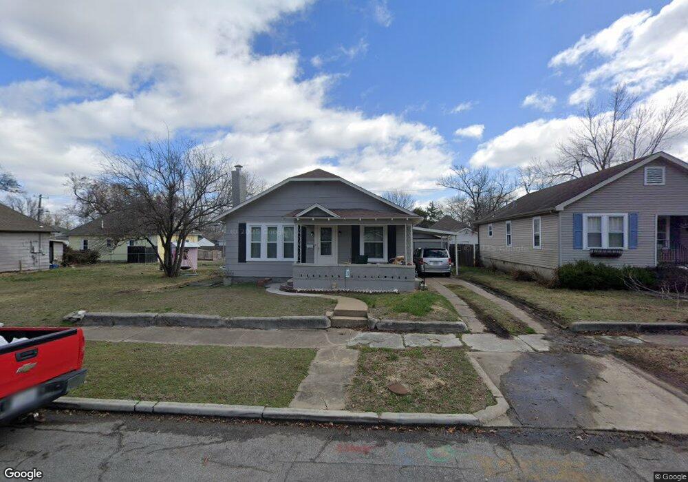
1609 Bird Ave Unit 1 Joplin, MO 64804
Blendville North NeighborhoodEstimated Value: $83,000 - $133,000
2
Beds
1
Bath
1,060
Sq Ft
$109/Sq Ft
Est. Value
About This Home
This home is located at 1609 Bird Ave Unit 1, Joplin, MO 64804 and is currently estimated at $115,548, approximately $109 per square foot. 1609 Bird Ave Unit 1 is a home located in Jasper County with nearby schools including Cecil Floyd Elementary School, North Middle School, and Joplin High School.
Ownership History
Date
Name
Owned For
Owner Type
Purchase Details
Closed on
Dec 28, 2023
Sold by
14Th Street Llc
Bought by
Bozarth Albert
Current Estimated Value
Home Financials for this Owner
Home Financials are based on the most recent Mortgage that was taken out on this home.
Original Mortgage
$60,000
Outstanding Balance
$58,911
Interest Rate
7.29%
Mortgage Type
New Conventional
Estimated Equity
$56,637
Purchase Details
Closed on
Apr 12, 2011
Sold by
Lehr Ronald L and Lehr Carol A
Bought by
Edwards Philip
Home Financials for this Owner
Home Financials are based on the most recent Mortgage that was taken out on this home.
Original Mortgage
$24,000
Interest Rate
4.92%
Mortgage Type
Future Advance Clause Open End Mortgage
Purchase Details
Closed on
Oct 13, 2010
Sold by
Lehr Ada Jean
Bought by
Lehr Ronald L and Lehr Carol A
Create a Home Valuation Report for This Property
The Home Valuation Report is an in-depth analysis detailing your home's value as well as a comparison with similar homes in the area
Home Values in the Area
Average Home Value in this Area
Purchase History
| Date | Buyer | Sale Price | Title Company |
|---|---|---|---|
| Bozarth Albert | -- | None Listed On Document | |
| Edwards Philip | -- | Fatco | |
| Lehr Ronald L | -- | None Available |
Source: Public Records
Mortgage History
| Date | Status | Borrower | Loan Amount |
|---|---|---|---|
| Open | Bozarth Albert | $60,000 | |
| Previous Owner | Edwards Philip | $24,000 |
Source: Public Records
Tax History Compared to Growth
Tax History
| Year | Tax Paid | Tax Assessment Tax Assessment Total Assessment is a certain percentage of the fair market value that is determined by local assessors to be the total taxable value of land and additions on the property. | Land | Improvement |
|---|---|---|---|---|
| 2025 | $390 | $10,530 | $1,210 | $9,320 |
| 2024 | $390 | $8,450 | $1,210 | $7,240 |
| 2023 | $390 | $8,450 | $1,210 | $7,240 |
| 2022 | $408 | $8,880 | $1,210 | $7,670 |
| 2021 | $406 | $8,880 | $1,210 | $7,670 |
| 2020 | $386 | $8,270 | $1,210 | $7,060 |
| 2019 | $387 | $8,270 | $1,210 | $7,060 |
| 2018 | $372 | $7,980 | $0 | $0 |
| 2017 | $373 | $7,980 | $0 | $0 |
| 2016 | $369 | $8,000 | $0 | $0 |
| 2015 | $369 | $8,000 | $0 | $0 |
| 2014 | $369 | $8,000 | $0 | $0 |
Source: Public Records
Map
Nearby Homes
- 1620 S Connor Ave
- 1619 S Murphy Ave
- 1701 S Jackson Ave
- 1507 S Sergeant Ave
- 1404 S Sergeant Ave
- 1402 S Sergeant Ave
- 1814 S Sergeant Ave
- 1214 S Connor Ave
- 1815 S Empire Ave
- 1916 S Murphy Ave
- 1730 Annie Baxter Ave
- 1402 S Byers Ave
- 1901 S Moffet Ave
- 2026 Bird Ave
- 814 W 11th St
- 1127 Empire Ave
- 2031 Murphy Ave
- 1025 S Connor Ave
- 1417 W 20th St
- 1716 S Harlem Ave
- 1609 Bird Ave
- 1601 Bird Ave
- 912 W 16th St
- 1619 Bird Ave
- 1612 S Connor Ave
- 1631 Bird Ave
- 1604 S Connor Ave
- 1618 S Connor Ave
- 1610 Bird Ave
- 1608 Bird Ave
- 1616 Bird Ave
- 1531 Bird Ave
- 1602 S Connor Ave
- 1602 Bird Ave
- 1626 S Connor Ave
- 1626 S Connor Ave Unit 1
- 1620 Bird Ave
- 1624 Bird Ave
- 1701 Bird Ave
- 1529 Bird Ave