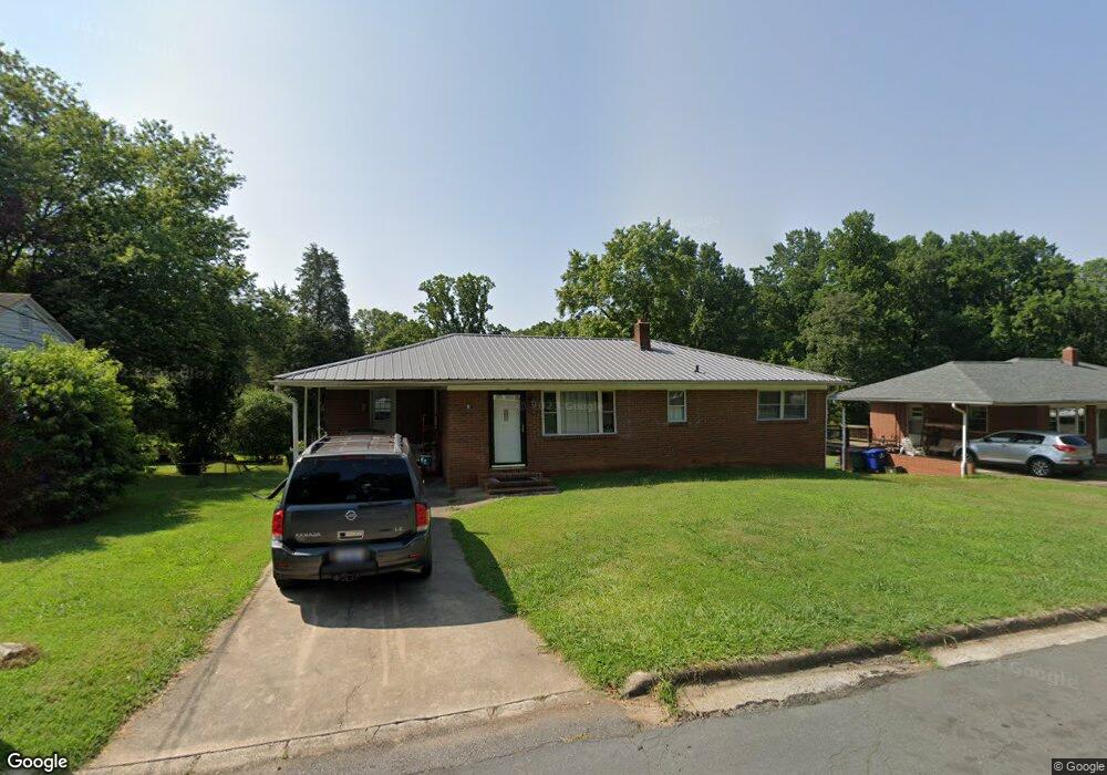
1609 Bridge St Lexington, NC 27292
Estimated Value: $126,000 - $168,000
3
Beds
1
Bath
1,232
Sq Ft
$118/Sq Ft
Est. Value
About This Home
This home is located at 1609 Bridge St, Lexington, NC 27292 and is currently estimated at $145,577, approximately $118 per square foot. 1609 Bridge St is a home located in Davidson County with nearby schools including South Lexington School, Lexington Middle School, and Lexington Senior High School.
Ownership History
Date
Name
Owned For
Owner Type
Purchase Details
Closed on
Apr 21, 2020
Sold by
Greene Walter Bryan and Greene Zandra Elizabeth
Bought by
Rosado Pedro Jacobo Cardenas and Cardenas Rosalba
Current Estimated Value
Purchase Details
Closed on
Mar 19, 2008
Sold by
Green Norma J
Bought by
Green Norma J and Green Walter B
Home Financials for this Owner
Home Financials are based on the most recent Mortgage that was taken out on this home.
Original Mortgage
$70,000
Interest Rate
5.86%
Mortgage Type
Credit Line Revolving
Create a Home Valuation Report for This Property
The Home Valuation Report is an in-depth analysis detailing your home's value as well as a comparison with similar homes in the area
Home Values in the Area
Average Home Value in this Area
Purchase History
| Date | Buyer | Sale Price | Title Company |
|---|---|---|---|
| Rosado Pedro Jacobo Cardenas | $65,000 | None Available | |
| Green Norma J | -- | None Available |
Source: Public Records
Mortgage History
| Date | Status | Borrower | Loan Amount |
|---|---|---|---|
| Previous Owner | Green Norma J | $70,000 |
Source: Public Records
Tax History
| Year | Tax Paid | Tax Assessment Tax Assessment Total Assessment is a certain percentage of the fair market value that is determined by local assessors to be the total taxable value of land and additions on the property. | Land | Improvement |
|---|---|---|---|---|
| 2025 | $946 | $72,780 | $0 | $0 |
| 2024 | $946 | $72,780 | $0 | $0 |
| 2023 | $946 | $72,780 | $0 | $0 |
| 2022 | $946 | $72,780 | $0 | $0 |
| 2021 | $946 | $72,780 | $0 | $0 |
| 2020 | $874 | $67,760 | $0 | $0 |
| 2019 | $888 | $67,760 | $0 | $0 |
| 2018 | $888 | $67,760 | $0 | $0 |
| 2017 | $888 | $67,760 | $0 | $0 |
| 2016 | $888 | $67,760 | $0 | $0 |
| 2015 | $854 | $67,760 | $0 | $0 |
| 2014 | $932 | $73,990 | $0 | $0 |
Source: Public Records
Map
Nearby Homes
- 307 Washburn St
- 0000 S Main St
- 203 Reich St
- 326 Washburn St
- 10 E 12th Ave
- 3 Linwood Rd
- 345 Harper Mill Cir
- 366 Harper Mill Cir
- 370 Harper Mill Cir
- 373 Harper Mill Cir
- 374 Harper Mill Cir
- 313 Owens Ridge Way
- 333 Owens Ridge Way
- 13 Pickard Cir
- 507 Quail Ln
- 401 Owens Ridge Way
- 405 Owens Ridge Way
- 440 Owens Ridge Way
- 43 Robbins Cir
- 505 Quail Ln
Your Personal Tour Guide
Ask me questions while you tour the home.