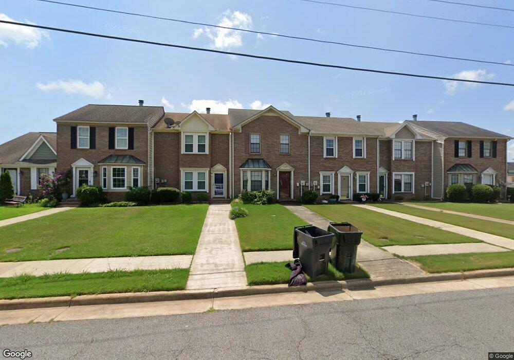
1609 Brookline Ave SW Decatur, AL 35603
Westmead NeighborhoodEstimated Value: $153,000 - $194,000
3
Beds
3
Baths
1,646
Sq Ft
$104/Sq Ft
Est. Value
About This Home
This home is located at 1609 Brookline Ave SW, Decatur, AL 35603 and is currently estimated at $171,885, approximately $104 per square foot. 1609 Brookline Ave SW is a home located in Morgan County with nearby schools including Julian Harris Elementary School, Cedar Ridge Middle School, and Austin High School.
Ownership History
Date
Name
Owned For
Owner Type
Purchase Details
Closed on
Jun 27, 2018
Sold by
Wells Fargo Bank Na
Bought by
Weaver Sandra Adams
Current Estimated Value
Purchase Details
Closed on
Jun 29, 2006
Sold by
Compton Robert L
Bought by
Coffey Sandra L
Home Financials for this Owner
Home Financials are based on the most recent Mortgage that was taken out on this home.
Original Mortgage
$86,640
Interest Rate
6.57%
Mortgage Type
FHA
Create a Home Valuation Report for This Property
The Home Valuation Report is an in-depth analysis detailing your home's value as well as a comparison with similar homes in the area
Home Values in the Area
Average Home Value in this Area
Purchase History
| Date | Buyer | Sale Price | Title Company |
|---|---|---|---|
| Weaver Sandra Adams | $50,000 | None Available | |
| Coffey Sandra L | -- | None Available |
Source: Public Records
Mortgage History
| Date | Status | Borrower | Loan Amount |
|---|---|---|---|
| Previous Owner | Coffey Sandra L | $86,640 |
Source: Public Records
Tax History Compared to Growth
Tax History
| Year | Tax Paid | Tax Assessment Tax Assessment Total Assessment is a certain percentage of the fair market value that is determined by local assessors to be the total taxable value of land and additions on the property. | Land | Improvement |
|---|---|---|---|---|
| 2024 | $1,005 | $11,090 | $1,610 | $9,480 |
| 2023 | $1,005 | $22,180 | $3,220 | $18,960 |
| 2022 | $956 | $21,100 | $3,040 | $18,060 |
| 2021 | $821 | $18,120 | $3,040 | $15,080 |
| 2020 | $758 | $16,740 | $3,000 | $13,740 |
| 2019 | $758 | $16,740 | $0 | $0 |
| 2015 | $412 | $10,140 | $0 | $0 |
| 2014 | $412 | $10,140 | $0 | $0 |
| 2013 | -- | $9,980 | $0 | $0 |
Source: Public Records
Map
Nearby Homes
- 1712 Brookline Ave SW
- 2414 Brookline Ct SW
- 2409 Brookline Ct SW
- 1829 Brownstone Ave SW
- 1824 Scobee Ave SW
- 2410 Kathy Ln SW
- 2415 Gaslight Place SW
- 2413 Gaslight Place SW
- 1812 Brownstone Ave SW
- 1923 W Brownstone Ct SW
- 1406 Goldridge Dr SW
- 1904 W Brownstone Ct SW
- 1901 Shepard Dr SW
- 1827 N Brownstone Ct SW
- 1962 E Brownstone Ct SW
- 7.5 Brownstone Ct SW
- 1711 Wilshire Ave SW
- 1701 Saginaw Ln SW
- 2313 Cumberland Ct SW
- 2406 Auburn Dr SW
- 1611 Brookline Ave SW
- 1607 Brookline Ave SW
- 1605 Brookline Ave SW
- 1613 Brookline Ave SW
- 1603 Brookline Ave SW
- 1615 Brookline Ave SW
- 1701 Brookline Ave SW
- 1703 Brookline Ave SW
- 1808 Smith Ave SW
- 1802 Smith Ave SW
- 1810 Smith Ave SW
- 1705 Brookline Ave SW
- 1812 Smith Ave SW
- 1707 Brookline Ave SW
- 1814 Smith Ave SW
- 1608 Brookline Ave SW
- 1610 Brookline Ave SW
- 1806 Smith Ave SW
- 1606 Brookline Ave SW
- 1604 Brookline Ave SW