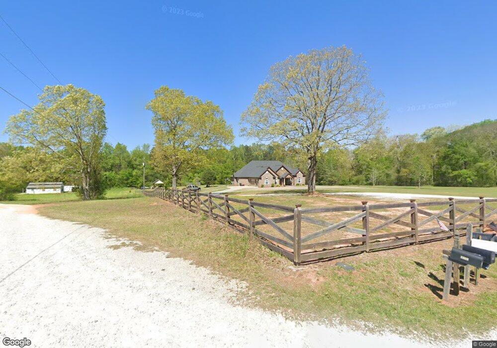
1609 Covered Bridge Rd Covington, GA 30016
Estimated Value: $344,000 - $497,000
--
Bed
--
Bath
1,334
Sq Ft
$333/Sq Ft
Est. Value
About This Home
This home is located at 1609 Covered Bridge Rd, Covington, GA 30016 and is currently estimated at $444,252, approximately $333 per square foot. 1609 Covered Bridge Rd is a home with nearby schools including Oak Hill Elementary School, Veterans Memorial Middle School, and Alcovy High School.
Ownership History
Date
Name
Owned For
Owner Type
Purchase Details
Closed on
Jul 6, 2023
Sold by
James Donald P
Bought by
Roeser Andrea and Roeser Ronald C
Current Estimated Value
Home Financials for this Owner
Home Financials are based on the most recent Mortgage that was taken out on this home.
Original Mortgage
$143,000
Outstanding Balance
$139,105
Interest Rate
6.71%
Mortgage Type
New Conventional
Estimated Equity
$305,147
Purchase Details
Closed on
May 28, 1999
Sold by
Shipko Mary K
Bought by
James Donald P and James Jennifer L
Home Financials for this Owner
Home Financials are based on the most recent Mortgage that was taken out on this home.
Original Mortgage
$12,195
Interest Rate
6.84%
Mortgage Type
New Conventional
Create a Home Valuation Report for This Property
The Home Valuation Report is an in-depth analysis detailing your home's value as well as a comparison with similar homes in the area
Home Values in the Area
Average Home Value in this Area
Purchase History
| Date | Buyer | Sale Price | Title Company |
|---|---|---|---|
| Roeser Andrea | $480,000 | -- | |
| James Donald P | -- | -- |
Source: Public Records
Mortgage History
| Date | Status | Borrower | Loan Amount |
|---|---|---|---|
| Open | Roeser Andrea | $143,000 | |
| Previous Owner | James Donald P | $12,195 |
Source: Public Records
Tax History Compared to Growth
Tax History
| Year | Tax Paid | Tax Assessment Tax Assessment Total Assessment is a certain percentage of the fair market value that is determined by local assessors to be the total taxable value of land and additions on the property. | Land | Improvement |
|---|---|---|---|---|
| 2025 | $4,642 | $190,400 | $101,720 | $88,680 |
| 2024 | $4,549 | $183,440 | $101,720 | $81,720 |
| 2023 | $4,539 | $171,160 | $101,720 | $69,440 |
| 2022 | $3,705 | $122,160 | $67,800 | $54,360 |
| 2021 | $3,349 | $114,320 | $67,800 | $46,520 |
| 2020 | $3,498 | $108,000 | $67,800 | $40,200 |
| 2019 | $3,547 | $107,880 | $67,800 | $40,080 |
| 2018 | $3,529 | $106,680 | $67,800 | $38,880 |
| 2017 | $3,379 | $102,320 | $65,800 | $36,520 |
| 2016 | $2,502 | $76,760 | $49,000 | $27,760 |
| 2015 | $1,980 | $62,440 | $35,280 | $27,160 |
| 2014 | $1,878 | $58,720 | $0 | $0 |
Source: Public Records
Map
Nearby Homes
- 5618 Highway 212
- 1824 Smith Store Rd
- 115 Arthurs Ln
- 20 Clarion Ct
- 40 Browning Dr
- 624 Bethany Rd
- 195 Sampson Ct
- 55 the Falls Blvd
- 35 Cambridge Way
- 230 Laurel Way
- 45 Saratoga Way
- 455 Bethany Rd
- 425 Berkshire Dr
- 110 Chapel Heights Way
- 145 Providence Dr
- 175 Cambridge Way Unit 2
- 190 the Falls Blvd
- 10 Edgewater Ct
- 190 Oak Hill Cir
- 20 Tarpley Way
- 312 Wehunt Rd
- 1629 Covered Bridge Rd
- 398 Wehunt Rd
- 361 Wehunt Rd Unit 15
- 361 Wehunt Rd
- 399 Wehunt Rd
- 1635 Covered Bridge Rd
- 5600 Highway 212
- 1423 Covered Bridge Rd
- 452 Wehunt Rd
- 5510 Highway 212
- 5414 Highway 212
- 1525 Covered Bridge Rd
- 5412 Highway 212
- 129 Little Mill Rd
- 1500 Covered Bridge Rd
- 5440 Highway 212
- 1288 Covered Bridge Rd
- 1639 Covered Bridge Rd
- 60 Little Mill Rd