Estimated Value: $142,000 - $161,000
3
Beds
1
Bath
1,777
Sq Ft
$85/Sq Ft
Est. Value
About This Home
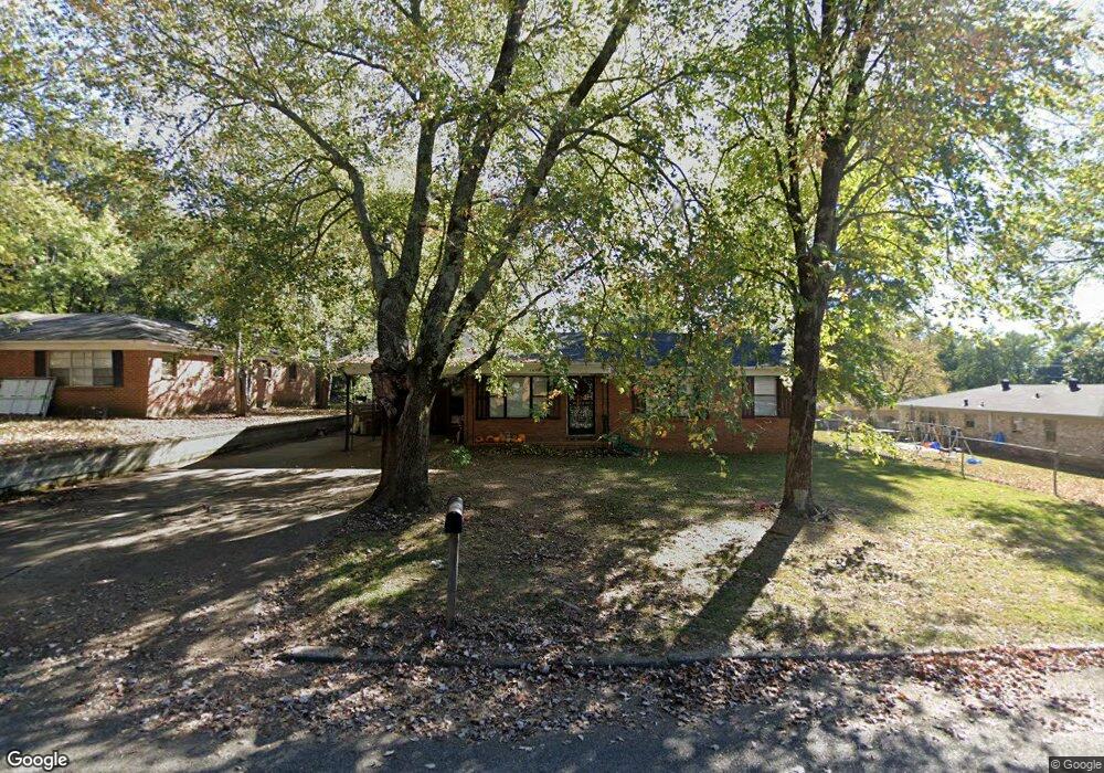
This home is located at 1609 Dodd Dr, Wynne, AR 72396 and is currently estimated at $150,502, approximately $84 per square foot. 1609 Dodd Dr is a home located in Cross County with nearby schools including Wynne Intermediate School, Wynne Primary School, and Wynne Junior High School.
Ownership History
Date
Name
Owned For
Owner Type
Purchase Details
Closed on
Jul 1, 2011
Sold by
Pribble Bryan A and Pribble Cara C
Bought by
Wood Laura G
Current Estimated Value
Home Financials for this Owner
Home Financials are based on the most recent Mortgage that was taken out on this home.
Original Mortgage
$76,509
Outstanding Balance
$52,038
Interest Rate
4.5%
Mortgage Type
FHA
Estimated Equity
$98,464
Purchase Details
Closed on
Mar 25, 2011
Sold by
Federal National Mortgage Association
Bought by
Pribble Bryan A and Pribble Cara C
Purchase Details
Closed on
Sep 2, 2010
Sold by
Dooley Angel and Dooley Michael
Bought by
Federal National Mortgage Association
Purchase Details
Closed on
Apr 25, 2003
Bought by
Dooley Angel
Purchase Details
Closed on
Nov 12, 2000
Bought by
Ballard James and Ballard Angela
Purchase Details
Closed on
May 10, 1995
Bought by
Spencer Virginia N
Create a Home Valuation Report for This Property
The Home Valuation Report is an in-depth analysis detailing your home's value as well as a comparison with similar homes in the area
Purchase History
| Date | Buyer | Sale Price | Title Company |
|---|---|---|---|
| Wood Laura G | $79,000 | None Available | |
| Pribble Bryan A | -- | None Available | |
| Federal National Mortgage Association | -- | None Available | |
| Dooley Angel | $74,000 | -- | |
| Ballard James | $70,000 | -- | |
| Spencer Virginia N | -- | -- |
Source: Public Records
Mortgage History
| Date | Status | Borrower | Loan Amount |
|---|---|---|---|
| Open | Wood Laura G | $76,509 |
Source: Public Records
Tax History
| Year | Tax Paid | Tax Assessment Tax Assessment Total Assessment is a certain percentage of the fair market value that is determined by local assessors to be the total taxable value of land and additions on the property. | Land | Improvement |
|---|---|---|---|---|
| 2025 | $449 | $32,060 | $4,330 | $27,730 |
| 2024 | $499 | $20,220 | $3,780 | $16,440 |
| 2023 | $576 | $20,220 | $3,780 | $16,440 |
| 2022 | $626 | $20,220 | $3,780 | $16,440 |
| 2021 | $624 | $20,220 | $3,780 | $16,440 |
| 2020 | $578 | $20,220 | $3,780 | $16,440 |
| 2019 | $533 | $18,340 | $3,430 | $14,910 |
| 2018 | $558 | $18,340 | $3,430 | $14,910 |
| 2017 | $558 | $18,340 | $3,430 | $14,910 |
| 2016 | $558 | $18,340 | $3,430 | $14,910 |
| 2015 | $558 | $18,340 | $3,430 | $14,910 |
| 2014 | $558 | $17,850 | $3,120 | $14,730 |
Source: Public Records
Map
Nearby Homes
- 1621 Dodd Dr
- 129 Lombardy Ln
- 1420 Hamilton Ave E
- 594 Malone St N
- 1104 Hamilton Ave E
- 1106 Marion Dr
- 205 Kerry Dr
- 1310 Forrest Ave E
- 1321 Martin Dr E
- 1204 Forrest Ave E
- 39 Morningside Dr
- 226 Nathan Dr E
- 108 Nathan Dr E
- 109 Nathan Dr E
- 903 Levesque Ave E
- 621 Lemons St N
- 909 Killough Rd N
- 1011 Hilltop Dr
- 916 Forrest Ave E
- 815 Canal Ave E
Your Personal Tour Guide
Ask me questions while you tour the home.