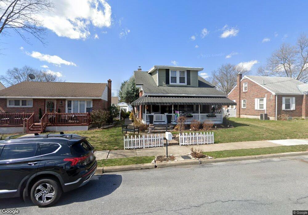
1609 Liberty Ave Reading, PA 19607
Estimated Value: $199,000 - $220,000
2
Beds
1
Bath
768
Sq Ft
$276/Sq Ft
Est. Value
About This Home
This home is located at 1609 Liberty Ave, Reading, PA 19607 and is currently estimated at $212,186, approximately $276 per square foot. 1609 Liberty Ave is a home located in Berks County with nearby schools including Governor Mifflin Intermediate School, Mifflin Park Elementary School, and Governor Mifflin Middle School.
Ownership History
Date
Name
Owned For
Owner Type
Purchase Details
Closed on
Oct 1, 2002
Sold by
Franckowiak David V and Franckowiak Lori L
Bought by
Franckowiak David and Franckowiak Lori L
Current Estimated Value
Home Financials for this Owner
Home Financials are based on the most recent Mortgage that was taken out on this home.
Original Mortgage
$62,540
Interest Rate
5.65%
Create a Home Valuation Report for This Property
The Home Valuation Report is an in-depth analysis detailing your home's value as well as a comparison with similar homes in the area
Home Values in the Area
Average Home Value in this Area
Purchase History
| Date | Buyer | Sale Price | Title Company |
|---|---|---|---|
| Franckowiak David | -- | First American Title Ins Co |
Source: Public Records
Mortgage History
| Date | Status | Borrower | Loan Amount |
|---|---|---|---|
| Closed | Franckowiak David | $62,540 |
Source: Public Records
Tax History Compared to Growth
Tax History
| Year | Tax Paid | Tax Assessment Tax Assessment Total Assessment is a certain percentage of the fair market value that is determined by local assessors to be the total taxable value of land and additions on the property. | Land | Improvement |
|---|---|---|---|---|
| 2025 | $955 | $64,400 | $30,800 | $33,600 |
| 2024 | $2,850 | $64,400 | $30,800 | $33,600 |
| 2023 | $2,774 | $64,400 | $30,800 | $33,600 |
| 2022 | $2,742 | $64,400 | $30,800 | $33,600 |
| 2021 | $2,709 | $64,400 | $30,800 | $33,600 |
| 2020 | $2,709 | $64,400 | $30,800 | $33,600 |
| 2019 | $2,677 | $64,400 | $30,800 | $33,600 |
| 2018 | $2,631 | $64,400 | $30,800 | $33,600 |
| 2017 | $2,581 | $64,400 | $30,800 | $33,600 |
| 2016 | $819 | $64,400 | $30,800 | $33,600 |
| 2015 | $819 | $64,400 | $30,800 | $33,600 |
| 2014 | $819 | $64,400 | $30,800 | $33,600 |
Source: Public Records
Map
Nearby Homes
- 1602 Crowder Ave
- 1531 Fayette Ave
- 1609 Fayette Ave
- 602 Harding Ave
- 123 High Blvd
- 1424 Commonwealth Blvd
- 1501 Gregg Ave
- 511 Grill Ave
- 617 Meade Tc
- 979 New Holland Rd
- 1530 Liggett Ave
- 733 Philadelphia Ave
- 1432 Liggett Ave
- 0 Cedar Top Rd
- 823 Fritz Ave
- 705 Cameron St
- 1355 Liggett Ave
- 512 Mifflin Blvd
- 715 Tamarack Trail
- 1020 Meade St
- 1611 Liberty Ave
- 1603 Liberty Ave
- 1613 Liberty Ave
- 1610 Hancock Blvd
- 1600 Hancock Blvd
- 1623 Liberty Ave
- 1612 Hancock Blvd
- 1531 Liberty Ave
- 1602 Liberty Ave
- 1610 Liberty Ave
- 1612 Liberty Ave
- 1622 Hancock Blvd
- 1618 Liberty Ave
- 1544 Hancock Blvd
- 1529 Liberty Ave
- 1631 Liberty Ave
- 1622 Liberty Ave
- 1527 Liberty Ave
- 1530 Liberty Ave
- 1628 Hancock Blvd