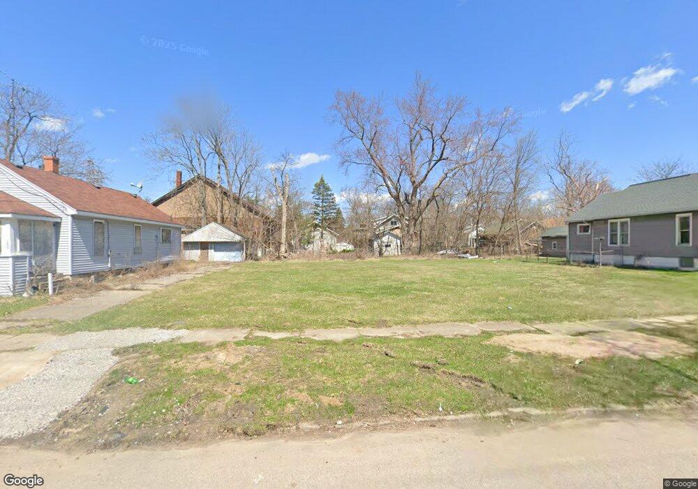
1609 New York Ave Flint, MI 48506
Eastside NeighborhoodEstimated Value: $87,879 - $198,000
2
Beds
1
Bath
1,021
Sq Ft
$125/Sq Ft
Est. Value
About This Home
This home is located at 1609 New York Ave, Flint, MI 48506 and is currently estimated at $127,960, approximately $125 per square foot. 1609 New York Ave is a home located in Genesee County with nearby schools including Potter School, Flint Cultural Center Academy, and WAY Academy of Flint.
Ownership History
Date
Name
Owned For
Owner Type
Purchase Details
Closed on
Dec 21, 2011
Sold by
Genesee County Treasurer
Bought by
Genesee County Land Bank
Current Estimated Value
Purchase Details
Closed on
Sep 14, 2006
Sold by
Eden Properties Llc
Bought by
Jessup Larry
Home Financials for this Owner
Home Financials are based on the most recent Mortgage that was taken out on this home.
Original Mortgage
$35,000
Interest Rate
11.87%
Mortgage Type
Purchase Money Mortgage
Purchase Details
Closed on
May 23, 2006
Sold by
Arnold Marilyn L and Peck Evelyn J
Bought by
Eden Properties Llc
Create a Home Valuation Report for This Property
The Home Valuation Report is an in-depth analysis detailing your home's value as well as a comparison with similar homes in the area
Home Values in the Area
Average Home Value in this Area
Purchase History
| Date | Buyer | Sale Price | Title Company |
|---|---|---|---|
| Genesee County Land Bank | -- | None Available | |
| Jessup Larry | $50,000 | Nations | |
| Eden Properties Llc | $11,500 | Sargents Title Company |
Source: Public Records
Mortgage History
| Date | Status | Borrower | Loan Amount |
|---|---|---|---|
| Previous Owner | Jessup Larry | $35,000 |
Source: Public Records
Tax History Compared to Growth
Tax History
| Year | Tax Paid | Tax Assessment Tax Assessment Total Assessment is a certain percentage of the fair market value that is determined by local assessors to be the total taxable value of land and additions on the property. | Land | Improvement |
|---|---|---|---|---|
| 2025 | -- | $0 | $0 | $0 |
| 2024 | -- | $0 | $0 | $0 |
| 2023 | -- | $0 | $0 | $0 |
| 2022 | $0 | $0 | $0 | $0 |
| 2021 | $0 | $0 | $0 | $0 |
| 2020 | $0 | $0 | $0 | $0 |
| 2019 | $0 | $0 | $0 | $0 |
| 2018 | $0 | $0 | $0 | $0 |
| 2017 | $0 | $0 | $0 | $0 |
| 2016 | $0 | $0 | $0 | $0 |
| 2015 | -- | $0 | $0 | $0 |
| 2014 | -- | $0 | $0 | $0 |
| 2012 | -- | $0 | $0 | $0 |
Source: Public Records
Map
Nearby Homes
- 1622 New York Ave
- 1629 New York Ave
- 1721 New York Ave
- 1513 Jane Ave
- 1454 Delaware Ave
- 1449 New York Ave
- 1814 Mabel Ave
- 1805 Bennett Ave
- 1445 Maryland Ave
- 1733 Oklahoma Ave
- 1518 Leith St
- 1529 Broadway Blvd
- 2225 Arlington Ave
- 2506 Arlington Ave
- 1526 Montana Ave
- 1623 Montana Ave
- 1805 Montana Ave
- 1215 Bennett Ave
- 1273 Broadway Blvd
- 1622 Arlington Ave
- 1607 New York Ave
- 1601 New York Ave
- 1617 New York Ave
- 1600 New York Ave
- 1610 Delaware Ave
- 1553 New York Ave
- 1602 New York Ave
- 1610 New York Ave
- 1614 Delaware Ave
- 1614 New York Ave
- 1549 New York Ave
- 1618 New York Ave
- 1625 New York Ave
- 1622 Delaware Ave
- 1550 Delaware Ave
- 1621 New York Ave
- 1554 Delaware Ave
- 2611 Iowa Ave
- 2511 Iowa Ave
- 1626 Delaware Ave