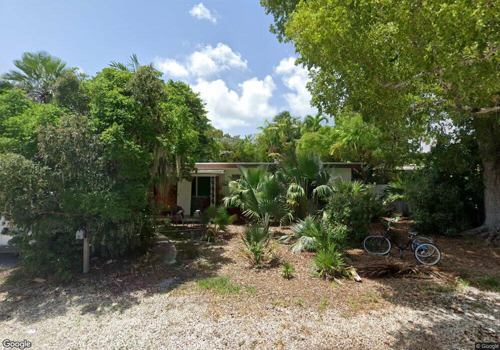
1609 Rose St Key West, FL 33040
Mid Town NeighborhoodEstimated Value: $1,197,211 - $2,051,000
2
Beds
2
Baths
2,200
Sq Ft
$713/Sq Ft
Est. Value
About This Home
This home is located at 1609 Rose St, Key West, FL 33040 and is currently estimated at $1,568,803, approximately $713 per square foot. 1609 Rose St is a home located in Monroe County with nearby schools including Horace O'Bryant School, Key West High School, and May Sands Montessori School.
Ownership History
Date
Name
Owned For
Owner Type
Purchase Details
Closed on
Sep 20, 1993
Sold by
Push Roger E and Push Bette J
Bought by
King Kenneth R and Joan King Linda
Current Estimated Value
Purchase Details
Closed on
Jun 1, 1986
Bought by
King Kenneth R and King Linda Joan
Purchase Details
Closed on
Apr 1, 1979
Bought by
King Kenneth R and King Linda Joan
Create a Home Valuation Report for This Property
The Home Valuation Report is an in-depth analysis detailing your home's value as well as a comparison with similar homes in the area
Home Values in the Area
Average Home Value in this Area
Purchase History
| Date | Buyer | Sale Price | Title Company |
|---|---|---|---|
| King Kenneth R | $165,000 | -- | |
| King Kenneth R | $91,000 | -- | |
| King Kenneth R | $65,000 | -- |
Source: Public Records
Tax History
| Year | Tax Paid | Tax Assessment Tax Assessment Total Assessment is a certain percentage of the fair market value that is determined by local assessors to be the total taxable value of land and additions on the property. | Land | Improvement |
|---|---|---|---|---|
| 2025 | $8,076 | $1,025,431 | $839,604 | $185,827 |
| 2024 | $7,663 | $1,136,460 | $953,064 | $183,396 |
| 2023 | $7,663 | $1,097,768 | $869,387 | $228,381 |
| 2022 | $6,490 | $846,738 | $618,357 | $228,381 |
| 2021 | $5,747 | $607,404 | $408,456 | $198,948 |
| 2020 | $5,529 | $584,712 | $385,764 | $198,948 |
| 2019 | $5,610 | $588,987 | $387,045 | $201,942 |
| 2018 | $5,447 | $559,012 | $354,075 | $204,937 |
| 2017 | $5,463 | $559,012 | $0 | $0 |
| 2016 | $5,368 | $535,828 | $0 | $0 |
| 2015 | $4,921 | $451,284 | $0 | $0 |
| 2014 | $4,867 | $446,153 | $0 | $0 |
Source: Public Records
Map
Nearby Homes
- 1612 Laird St
- 1610 Laird St
- 1613 Rose St
- 1521 Rose St
- 1708 Laird St
- 1625 Patricia St
- 1712 Laird St
- 1713 Rose St
- 1719 Laird St
- 1716 Laird St
- 1606 Flagler Ave
- 1505 Rose St
- 1600 Patricia St
- 1501 Laird St
- 1511 Johnson St
- 1505 Johnson St
- 1701 Atlantic Blvd
- 1720 Patricia St
- 1503 Johnson St
- 1610 von Phister St
Your Personal Tour Guide
Ask me questions while you tour the home.