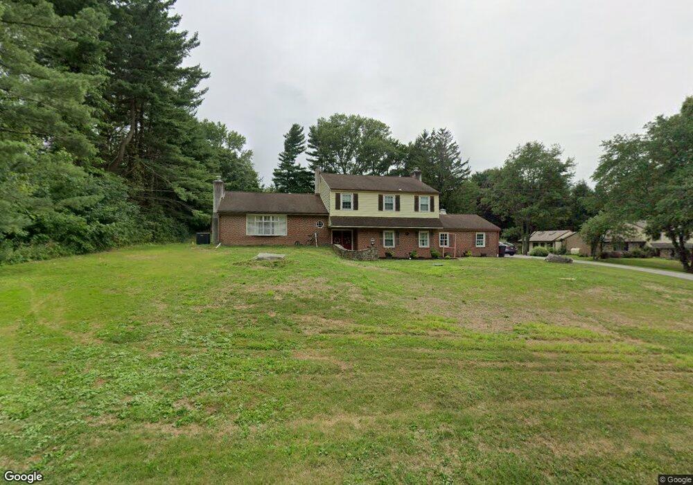
1609 W Lynn Dr West Chester, PA 19382
Estimated Value: $576,000 - $653,000
4
Beds
3
Baths
1,488
Sq Ft
$408/Sq Ft
Est. Value
About This Home
This home is located at 1609 W Lynn Dr, West Chester, PA 19382 and is currently estimated at $607,348, approximately $408 per square foot. 1609 W Lynn Dr is a home located in Chester County with nearby schools including Penn Wood Elementary School, Stetson Middle School, and Bayard Rustin High School.
Ownership History
Date
Name
Owned For
Owner Type
Purchase Details
Closed on
Apr 21, 2005
Sold by
Haws Lucia M and Estate Of Anna Marie Apolito
Bought by
Haws Thomas F and Haws Patricia B
Current Estimated Value
Home Financials for this Owner
Home Financials are based on the most recent Mortgage that was taken out on this home.
Original Mortgage
$245,000
Interest Rate
5.87%
Mortgage Type
New Conventional
Purchase Details
Closed on
Apr 8, 2005
Sold by
Haws Lucia M and Estate Of Anna M Apolito
Bought by
Haws Thomas F and Haws Lucia M
Home Financials for this Owner
Home Financials are based on the most recent Mortgage that was taken out on this home.
Original Mortgage
$245,000
Interest Rate
5.87%
Mortgage Type
New Conventional
Purchase Details
Closed on
Aug 30, 2004
Sold by
Apolito Peter L and Apolito Anna M
Bought by
Apolito Anna M
Create a Home Valuation Report for This Property
The Home Valuation Report is an in-depth analysis detailing your home's value as well as a comparison with similar homes in the area
Home Values in the Area
Average Home Value in this Area
Purchase History
| Date | Buyer | Sale Price | Title Company |
|---|---|---|---|
| Haws Thomas F | $350,000 | T A Title Insurance Company | |
| Haws Thomas F | -- | -- | |
| Apolito Anna M | -- | -- |
Source: Public Records
Mortgage History
| Date | Status | Borrower | Loan Amount |
|---|---|---|---|
| Closed | Haws Thomas F | $245,000 |
Source: Public Records
Tax History Compared to Growth
Tax History
| Year | Tax Paid | Tax Assessment Tax Assessment Total Assessment is a certain percentage of the fair market value that is determined by local assessors to be the total taxable value of land and additions on the property. | Land | Improvement |
|---|---|---|---|---|
| 2025 | $5,331 | $172,490 | $42,870 | $129,620 |
| 2024 | $5,331 | $172,490 | $42,870 | $129,620 |
| 2023 | $5,295 | $172,490 | $42,870 | $129,620 |
| 2022 | $5,194 | $172,490 | $42,870 | $129,620 |
| 2021 | $5,125 | $172,490 | $42,870 | $129,620 |
| 2020 | $5,094 | $172,490 | $42,870 | $129,620 |
| 2019 | $5,027 | $172,490 | $42,870 | $129,620 |
| 2018 | $4,925 | $172,490 | $42,870 | $129,620 |
| 2017 | $4,824 | $172,490 | $42,870 | $129,620 |
| 2016 | $3,712 | $172,490 | $42,870 | $129,620 |
| 2015 | $3,712 | $172,490 | $42,870 | $129,620 |
| 2014 | $3,712 | $172,490 | $42,870 | $129,620 |
Source: Public Records
Map
Nearby Homes
- 910 S Chester Rd
- 1007 Stoneham Dr Unit 1007B
- 2305 Westfield Ct
- 801 Winchester Ct Unit 801
- 406 Worington Dr Unit 406
- 110 Fairfield Ct
- 1523 Johnnys Way
- 6 Smedley Dr
- 15 Ridings Way Unit 5
- 24 Redtail Ct Unit 103
- 48 Hunters Ln
- 52 Juliet Ln
- 413 Leslie Ln
- 1545 Pheasant Ln. & 193a Middletown Rd
- 1545 Pheasant Ln
- 211 Dutton Mill Rd
- 1518 Manley Rd Unit B17
- 1518 Manley Rd Unit B20
- 1541 Farmers Ln
- 1541 Farmers Ln