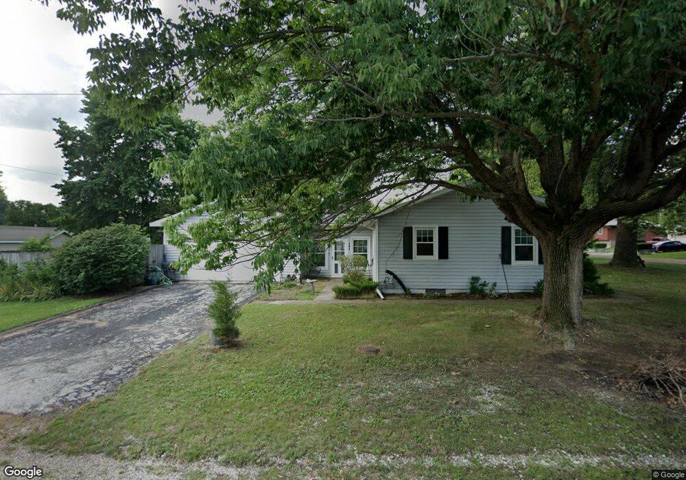
161 A and W Dr Meredosia, IL 62665
Estimated Value: $66,000 - $106,840
4
Beds
1
Bath
2,400
Sq Ft
$38/Sq Ft
Est. Value
About This Home
This home is located at 161 A and W Dr, Meredosia, IL 62665 and is currently estimated at $90,960, approximately $37 per square foot. 161 A and W Dr is a home located in Morgan County with nearby schools including Meredosia-Chambersburg Elementary School, Meredosia-Chambersburg Junior High School, and Meredosia-Chambersburg High School.
Ownership History
Date
Name
Owned For
Owner Type
Purchase Details
Closed on
Apr 6, 2026
Sold by
Drake Cynthia and Lou Drake Cindy
Bought by
Community Banc Mortgage Corporation
Current Estimated Value
Purchase Details
Closed on
Jun 13, 2015
Sold by
Ruble Brian D and Ruble Gwendolyn A
Bought by
Dunn Cindy Lou
Home Financials for this Owner
Home Financials are based on the most recent Mortgage that was taken out on this home.
Original Mortgage
$56,000
Interest Rate
3.65%
Mortgage Type
New Conventional
Create a Home Valuation Report for This Property
The Home Valuation Report is an in-depth analysis detailing your home's value as well as a comparison with similar homes in the area
Purchase History
We collect this data history from publicly available records. To have your information removed, we recommend requesting removal directly through your county’s website.
| Date | Buyer | Sale Price | Title Company |
|---|---|---|---|
| Community Banc Mortgage Corporation | $28,001 | -- | |
| Community Banc Mortgage Corporation | $28,001 | -- | |
| Dunn Cindy Lou | $70,000 | None Available | |
| Dunn Cindy Lou | $70,000 | None Available |
Source: Public Records
Mortgage History
We collect this data history from publicly available records. To have your information removed, we recommend requesting removal directly through your county’s website.
| Date | Status | Borrower | Loan Amount |
|---|---|---|---|
| Previous Owner | Dunn Cindy Lou | $56,000 |
Source: Public Records
Tax History
| Year | Tax Paid | Tax Assessment Tax Assessment Total Assessment is a certain percentage of the fair market value that is determined by local assessors to be the total taxable value of land and additions on the property. | Land | Improvement |
|---|---|---|---|---|
| 2025 | $1,652 | $24,510 | $1,180 | $23,330 |
| 2024 | $1,652 | $22,080 | $1,060 | $21,020 |
| 2023 | $1,618 | $22,080 | $1,060 | $21,020 |
| 2022 | $1,603 | $22,080 | $1,060 | $21,020 |
| 2021 | $1,600 | $21,060 | $1,010 | $20,050 |
| 2020 | $1,503 | $21,060 | $1,010 | $20,050 |
| 2019 | $1,688 | $22,570 | $1,010 | $21,560 |
| 2018 | $1,636 | $22,570 | $1,010 | $21,560 |
| 2017 | $1,690 | $23,750 | $1,060 | $22,690 |
| 2016 | $1,806 | $25,110 | $1,030 | $24,080 |
| 2015 | $1,790 | $24,620 | $1,010 | $23,610 |
| 2014 | $1,790 | $24,140 | $990 | $23,150 |
| 2013 | $1,695 | $24,140 | $990 | $23,150 |
Source: Public Records
Map
Nearby Homes
- 207 Locust
- 499 S Green St
- 314 Eagle Dr
- 0 Eagle Dr
- 318 Eagle Dr
- 1125 Eagle Dr
- 313 Johnson Rd
- 649 Arenzville Rd
- 1915 U S 67
- 651 Spunky Ridge Rd
- 0 Island Ln
- 110 N Main St
- 1667 N 365 Rd
- 1785 Crews Ln
- 1157 Boehs Ln
- 718 Superior St
- 614 French St
- 617 Railroad St
- 806 Phillips Ferry Rd
- 2275 Concord Arenzville Rd
- 161 A and W Dr
- 151 A and W Dr
- 000 A and Dr W
- 160 E Chrisman Dr
- 205 A and W Dr
- 154 E Chrisman Dr
- 166 A and W Dr
- 154 A and W Dr
- 206 A & Dr W
- 206 A and W Dr
- 144 E Chrisman Dr
- 144 A and W Dr
- 851 Union
- 215 A and W Dr
- 216 A and W Dr
- 216 A and W Dr
- 155 E Chrisman Dr
- 841 Union
- 132 E Chrisman Dr
- 147 E Chrisman Dr
Your Personal Tour Guide
Ask me questions while you tour the home.