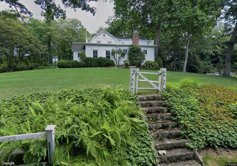
161 Bowery Rd New Canaan, CT 06840
Estimated Value: $1,718,377 - $2,593,000
4
Beds
3
Baths
2,405
Sq Ft
$925/Sq Ft
Est. Value
About This Home
This home is located at 161 Bowery Rd, New Canaan, CT 06840 and is currently estimated at $2,224,844, approximately $925 per square foot. 161 Bowery Rd is a home located in Fairfield County with nearby schools including West Elementary School, Saxe Middle School, and New Canaan High School.
Ownership History
Date
Name
Owned For
Owner Type
Purchase Details
Closed on
Nov 3, 2009
Sold by
Firlik Andrew and Firlik Katrina S
Bought by
Moor Joshua S and Moor Michelle T
Current Estimated Value
Home Financials for this Owner
Home Financials are based on the most recent Mortgage that was taken out on this home.
Original Mortgage
$300,000
Outstanding Balance
$196,488
Interest Rate
5.06%
Estimated Equity
$2,028,356
Purchase Details
Closed on
May 9, 2003
Sold by
Mullins Timothy P and Mullins Michele S
Bought by
Firlik Andrew and Firlik Katrina S
Home Financials for this Owner
Home Financials are based on the most recent Mortgage that was taken out on this home.
Original Mortgage
$990,000
Interest Rate
5.37%
Purchase Details
Closed on
Sep 8, 2000
Sold by
Talmage Christiane
Bought by
Mullins Timothy P and Mullins Michele S
Home Financials for this Owner
Home Financials are based on the most recent Mortgage that was taken out on this home.
Original Mortgage
$588,000
Interest Rate
8.1%
Create a Home Valuation Report for This Property
The Home Valuation Report is an in-depth analysis detailing your home's value as well as a comparison with similar homes in the area
Home Values in the Area
Average Home Value in this Area
Purchase History
| Date | Buyer | Sale Price | Title Company |
|---|---|---|---|
| Moor Joshua S | $1,411,000 | -- | |
| Firlik Andrew | $1,320,000 | -- | |
| Mullins Timothy P | $735,000 | -- |
Source: Public Records
Mortgage History
| Date | Status | Borrower | Loan Amount |
|---|---|---|---|
| Open | Mullins Timothy P | $300,000 | |
| Previous Owner | Mullins Timothy P | $990,000 | |
| Previous Owner | Mullins Timothy P | $588,000 | |
| Previous Owner | Mullins Timothy P | $100,000 |
Source: Public Records
Tax History Compared to Growth
Tax History
| Year | Tax Paid | Tax Assessment Tax Assessment Total Assessment is a certain percentage of the fair market value that is determined by local assessors to be the total taxable value of land and additions on the property. | Land | Improvement |
|---|---|---|---|---|
| 2025 | $14,323 | $858,200 | $488,250 | $369,950 |
| 2024 | $13,851 | $858,200 | $488,250 | $369,950 |
| 2023 | $14,609 | $771,330 | $520,520 | $250,810 |
| 2022 | $14,169 | $771,330 | $520,520 | $250,810 |
| 2021 | $14,007 | $771,330 | $520,520 | $250,810 |
| 2020 | $14,007 | $771,330 | $520,520 | $250,810 |
| 2019 | $14,069 | $771,330 | $520,520 | $250,810 |
| 2018 | $16,344 | $963,690 | $610,470 | $353,220 |
| 2017 | $16,065 | $963,690 | $610,470 | $353,220 |
| 2016 | $15,718 | $963,690 | $610,470 | $353,220 |
| 2015 | $15,470 | $967,470 | $610,470 | $357,000 |
| 2014 | $15,034 | $967,470 | $610,470 | $357,000 |
Source: Public Records
Map
Nearby Homes
- 1421 Oenoke Ridge
- 1247 Oenoke Ridge
- 176 Logan Rd
- 62 Summersweet Ln
- 171 Proprietors Crossing
- 928 West Rd
- 22 Father Peters Ln
- 119 Proprietors Crossing
- 33 Peters Ln
- 26 Pequot Ln
- 650 Laurel Rd
- 239 Deer Hill
- 37 East St
- 469, 531,533 N Wilton Rd
- 230 & 244 West Rd
- 469L N Wilton Rd
- 132 Stone Meadow
- 533L N Wilton Rd
- 104 Dans Hwy
- 531L N Wilton Rd