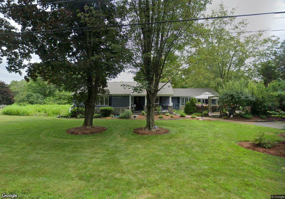
161 Burnt Swamp Rd Cumberland, RI 02864
North Cumberland NeighborhoodEstimated Value: $600,000 - $694,000
4
Beds
1
Bath
1,836
Sq Ft
$347/Sq Ft
Est. Value
About This Home
This home is located at 161 Burnt Swamp Rd, Cumberland, RI 02864 and is currently estimated at $636,447, approximately $346 per square foot. 161 Burnt Swamp Rd is a home located in Providence County with nearby schools including Community School, North Cumberland Middle School, and Cumberland High School.
Ownership History
Date
Name
Owned For
Owner Type
Purchase Details
Closed on
Jan 28, 2023
Sold by
Marsh Gary J and Marsh Robin C
Bought by
Chudnow Marsh T and Chudnow Marsh
Current Estimated Value
Purchase Details
Closed on
Oct 22, 2018
Sold by
Marsh Irene M
Bought by
Marsh Gary J and Chudnow-Marsh Robin
Home Financials for this Owner
Home Financials are based on the most recent Mortgage that was taken out on this home.
Original Mortgage
$200,000
Interest Rate
4.8%
Mortgage Type
New Conventional
Create a Home Valuation Report for This Property
The Home Valuation Report is an in-depth analysis detailing your home's value as well as a comparison with similar homes in the area
Home Values in the Area
Average Home Value in this Area
Purchase History
| Date | Buyer | Sale Price | Title Company |
|---|---|---|---|
| Chudnow Marsh T | -- | None Available | |
| Marsh Gary J | -- | -- |
Source: Public Records
Mortgage History
| Date | Status | Borrower | Loan Amount |
|---|---|---|---|
| Previous Owner | Marsh Gary J | $200,000 |
Source: Public Records
Tax History Compared to Growth
Tax History
| Year | Tax Paid | Tax Assessment Tax Assessment Total Assessment is a certain percentage of the fair market value that is determined by local assessors to be the total taxable value of land and additions on the property. | Land | Improvement |
|---|---|---|---|---|
| 2025 | $5,670 | $462,100 | $178,200 | $283,900 |
| 2024 | $5,522 | $462,100 | $178,200 | $283,900 |
| 2023 | $5,370 | $462,100 | $178,200 | $283,900 |
| 2022 | $5,404 | $360,500 | $138,600 | $221,900 |
| 2021 | $5,314 | $360,500 | $138,600 | $221,900 |
| 2020 | $5,162 | $360,500 | $138,600 | $221,900 |
| 2019 | $5,169 | $325,500 | $126,000 | $199,500 |
| 2018 | $591 | $325,500 | $126,000 | $199,500 |
| 2017 | $4,951 | $325,500 | $126,000 | $199,500 |
| 2016 | $4,866 | $284,900 | $128,000 | $156,900 |
| 2015 | $4,866 | $284,900 | $128,000 | $156,900 |
| 2014 | $4,015 | $284,900 | $128,000 | $156,900 |
| 2013 | $5,084 | $322,200 | $130,000 | $192,200 |
Source: Public Records
Map
Nearby Homes
- 157 Burnt Swamp Rd
- 163 Burnt Swamp Rd
- 167 Burnt Swamp Rd
- 168 Burnt Swamp Rd
- 155 Burnt Swamp Rd
- 171 Burnt Swamp Rd
- 174 Burnt Swamp Rd
- 140 Sumner Brown Rd
- 525 Burnt Swamp Rd
- 141 Burnt Swamp Rd
- 225 Ellery St
- 145 Sumner Brown Rd
- 126 Sumner Brown Rd
- 122 Sumner Brown Rd
- 131 Burnt Swamp Rd
- 141 Sumner Brown Rd
- 130 Burnt Swamp Rd
- 118 Sumner Brown Rd
- 120 Sumner Brown Rd
- 120 Burnt Swamp Rd