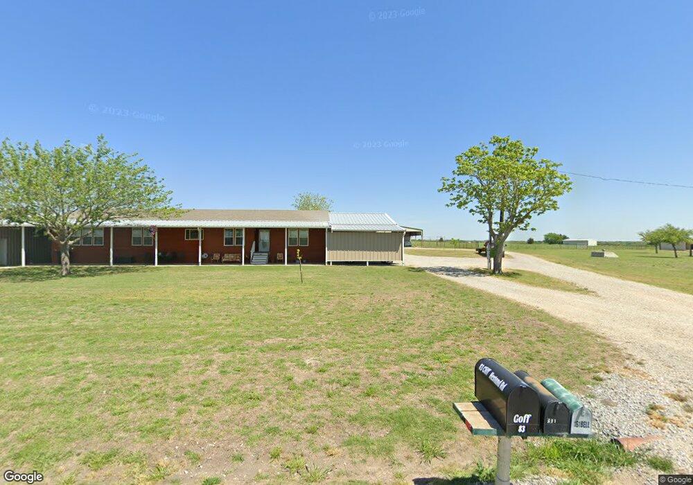
161 Cliff Hestand Rd Sherman, TX 75090
Estimated Value: $1,206,203
--
Bed
--
Bath
1,940
Sq Ft
$622/Sq Ft
Est. Value
About This Home
This home is located at 161 Cliff Hestand Rd, Sherman, TX 75090 and is currently estimated at $1,206,203, approximately $621 per square foot. 161 Cliff Hestand Rd is a home located in Grayson County with nearby schools including Henry W. Sory Elementary School, Piner Middle School, and Dillingham Intermediate School.
Ownership History
Date
Name
Owned For
Owner Type
Purchase Details
Closed on
Jul 18, 2024
Sold by
Hmi-Sherman 592 Llc
Bought by
Pc Counseling & Rehabilitation Llc
Current Estimated Value
Purchase Details
Closed on
Dec 19, 2023
Sold by
Bell Michael L and Bell Sharon
Bought by
City Of Sherman
Purchase Details
Closed on
Dec 7, 2007
Sold by
Bell Michael Lee and Bell Sharon
Bought by
Cornelius Don Keith and Cornelius Family Revocable Living Trust
Create a Home Valuation Report for This Property
The Home Valuation Report is an in-depth analysis detailing your home's value as well as a comparison with similar homes in the area
Home Values in the Area
Average Home Value in this Area
Purchase History
| Date | Buyer | Sale Price | Title Company |
|---|---|---|---|
| Pc Counseling & Rehabilitation Llc | -- | Sendera Title | |
| City Of Sherman | -- | None Listed On Document | |
| Cornelius Don Keith | -- | Btc |
Source: Public Records
Tax History Compared to Growth
Tax History
| Year | Tax Paid | Tax Assessment Tax Assessment Total Assessment is a certain percentage of the fair market value that is determined by local assessors to be the total taxable value of land and additions on the property. | Land | Improvement |
|---|---|---|---|---|
| 2025 | $541 | $226,408 | -- | -- |
| 2024 | $3,395 | $200,984 | $0 | $0 |
| 2023 | $628 | $191,790 | $0 | $0 |
| 2022 | $3,296 | $175,558 | $0 | $0 |
| 2021 | $2,898 | $143,290 | $10,734 | $132,556 |
| 2020 | $3,192 | $156,819 | $8,794 | $148,025 |
| 2019 | $3,091 | $135,942 | $7,992 | $127,950 |
| 2018 | $2,874 | $137,661 | $8,025 | $129,636 |
| 2017 | $2,914 | $142,502 | $13,921 | $128,581 |
| 2016 | $2,760 | $144,179 | $13,901 | $130,278 |
| 2015 | $1,927 | $126,358 | $13,831 | $112,527 |
| 2014 | $2,127 | $128,990 | $13,851 | $115,139 |
Source: Public Records
Map
Nearby Homes
- Oakridge Plan at Luella Crossing
- Kitson Plan at Luella Crossing
- Idlewood Plan at Luella Crossing
- Pinehollow Plan at Luella Crossing
- Whitetail Plan at Luella Crossing
- 3901 Pontchartrain Pkwy
- 3928 Pontchartrain Pkwy
- 3924 Pontchartrain Pkwy
- 3920 Pontchartrain Pkwy
- 3819 Pontchartrain Pkwy
- 3912 Pontchartrain Pkwy
- 3815 Pontchartrain Pkwy
- 3807 Pontchartrain Pkwy
- 3814 Aqua Ln
- 3909 Crystal Cove
- 3913 Crystal Cove
- 3913 Talisker Blvd
- 1222 El Sol Blvd
- 3705 Talisker Blvd
- 3701 Talisker Blvd
- 34 Cliff Hestand Rd
- 3903 Selawik St
- 3906 Selawik St
- 3902 Selawik St
- 3821 Selawik St
- 3818 Pontchartrain Pkwy
- 1441 Erie Dr
- 3802 Pontchartrain Pkwy
- 1421 Erie Dr
- 3814 Pontchartrain Pkwy
- 1409 Erie Dr
- 3810 Pontchartrain Pkwy
- 3806 Pontchartrain Pkwy
- 1401 Erie Dr
- 4001 Superior Plwhc
- 1317 Salton Ln
- 1301 Salton Ln
- 1305 Salton Ln
- 1321 Salton Ln
- 1329 Salton Ln