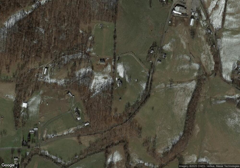
161 Cooing Dove Dr Bridgeport, WV 26330
Estimated Value: $707,000 - $769,000
3
Beds
3
Baths
3,791
Sq Ft
$195/Sq Ft
Est. Value
About This Home
This home is located at 161 Cooing Dove Dr, Bridgeport, WV 26330 and is currently estimated at $739,630, approximately $195 per square foot. 161 Cooing Dove Dr is a home.
Ownership History
Date
Name
Owned For
Owner Type
Purchase Details
Closed on
Jun 16, 2017
Sold by
Hornor Paul A and Hornor Lucy R
Bought by
Gorrell Thomas H and Gorrell Connie J
Current Estimated Value
Home Financials for this Owner
Home Financials are based on the most recent Mortgage that was taken out on this home.
Original Mortgage
$432,459
Outstanding Balance
$333,672
Interest Rate
4.02%
Mortgage Type
New Conventional
Estimated Equity
$405,958
Purchase Details
Closed on
Jul 30, 2014
Sold by
Wilson Scott E
Bought by
Johnson Chad W and Cava James J
Purchase Details
Closed on
Jun 9, 2014
Sold by
Hudkins Eric
Bought by
Johnson Chad W and Cava James J
Purchase Details
Closed on
Jun 6, 2014
Sold by
Scott Kristina P and Howard Kristina P
Bought by
Hudkins Eric
Create a Home Valuation Report for This Property
The Home Valuation Report is an in-depth analysis detailing your home's value as well as a comparison with similar homes in the area
Home Values in the Area
Average Home Value in this Area
Purchase History
| Date | Buyer | Sale Price | Title Company |
|---|---|---|---|
| Gorrell Thomas H | $530,000 | -- | |
| Johnson Chad W | -- | None Available | |
| Wilson Scott E | -- | None Available | |
| Johnson Chad W | $108,820 | None Available | |
| Hudkins Eric | $68,401 | None Available |
Source: Public Records
Mortgage History
| Date | Status | Borrower | Loan Amount |
|---|---|---|---|
| Open | Gorrell Thomas H | $432,459 |
Source: Public Records
Tax History Compared to Growth
Tax History
| Year | Tax Paid | Tax Assessment Tax Assessment Total Assessment is a certain percentage of the fair market value that is determined by local assessors to be the total taxable value of land and additions on the property. | Land | Improvement |
|---|---|---|---|---|
| 2024 | $4,615 | $392,880 | $65,520 | $327,360 |
| 2023 | $4,277 | $365,940 | $65,520 | $300,420 |
| 2022 | $4,271 | $362,400 | $61,560 | $300,840 |
| 2021 | $4,207 | $361,260 | $61,560 | $299,700 |
| 2020 | $4,154 | $360,180 | $61,560 | $298,620 |
| 2019 | $4,174 | $361,800 | $61,560 | $300,240 |
| 2018 | $4,083 | $355,620 | $59,580 | $296,040 |
| 2017 | $3,772 | $349,980 | $59,580 | $290,400 |
| 2016 | $3,618 | $340,440 | $55,620 | $284,820 |
| 2015 | $3,514 | $329,400 | $51,660 | $277,740 |
| 2014 | $3,416 | $321,180 | $47,640 | $273,540 |
Source: Public Records
Map
Nearby Homes
- 186 Robin Ln
- 542 Brushy Fork Rd
- 516 Brushy Fork Rd
- 0 Solomon Dr
- 7 Mayflower Ln
- 54 Church St
- TBD Sterling Dr
- 8688 Cost Ave
- 8037 Maple Ave
- TBD Benedum Run Rd
- TBD N 24th St
- 2410 Buckhannon Pike
- 2589 Philippi Pike
- 8030 Labrador Ln
- TBD Elk Creek Pike
- 2189 Chub Run Rd
- 82 Robinwood Dr
- 7644 Buckhannon Pike
- 2-A Cherry Tree Dr
- 96 Chickerell St
