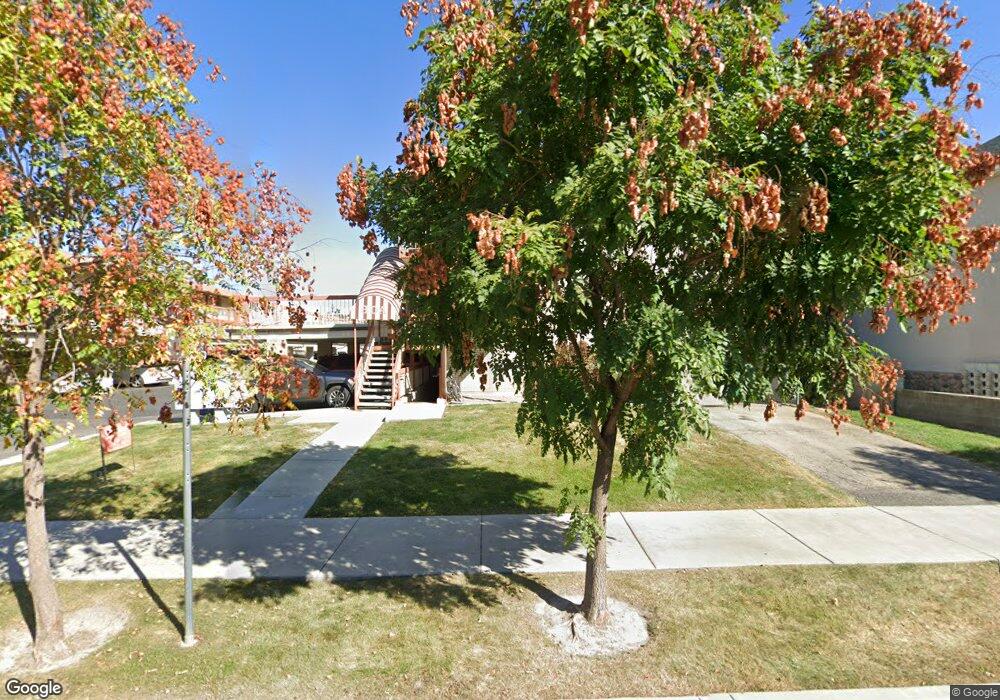
161 E 700 N Provo, UT 84606
Joaquin NeighborhoodEstimated Value: $306,000 - $334,000
2
Beds
1
Bath
898
Sq Ft
$356/Sq Ft
Est. Value
About This Home
This home is located at 161 E 700 N, Provo, UT 84606 and is currently estimated at $319,911, approximately $356 per square foot. 161 E 700 N is a home located in Utah County with nearby schools including Provo Peaks School, Centennial Middle School, and Timpview High School.
Ownership History
Date
Name
Owned For
Owner Type
Purchase Details
Closed on
Oct 1, 2004
Sold by
Be & Jb Embry Family Living Trust
Bought by
Guinn Thomas William
Current Estimated Value
Purchase Details
Closed on
Dec 12, 2002
Sold by
Embry Bruce A and Embry Joanne
Bought by
Embry Bruce A and Embry Joanne
Home Financials for this Owner
Home Financials are based on the most recent Mortgage that was taken out on this home.
Original Mortgage
$84,450
Interest Rate
6.06%
Purchase Details
Closed on
Mar 18, 1999
Sold by
Denton Walter R
Bought by
Embry Bruce and Embry Joanne
Home Financials for this Owner
Home Financials are based on the most recent Mortgage that was taken out on this home.
Original Mortgage
$83,700
Interest Rate
6.73%
Create a Home Valuation Report for This Property
The Home Valuation Report is an in-depth analysis detailing your home's value as well as a comparison with similar homes in the area
Home Values in the Area
Average Home Value in this Area
Purchase History
| Date | Buyer | Sale Price | Title Company |
|---|---|---|---|
| Guinn Thomas William | -- | Mountain West Title Company | |
| Embry Bruce A | -- | Mountain West Title Co | |
| Embry Bruce A | -- | Mountain West Title Co | |
| Embry Bruce | -- | Summit Title Co |
Source: Public Records
Mortgage History
| Date | Status | Borrower | Loan Amount |
|---|---|---|---|
| Previous Owner | Embry Bruce A | $84,450 | |
| Previous Owner | Embry Bruce | $83,700 |
Source: Public Records
Tax History
| Year | Tax Paid | Tax Assessment Tax Assessment Total Assessment is a certain percentage of the fair market value that is determined by local assessors to be the total taxable value of land and additions on the property. | Land | Improvement |
|---|---|---|---|---|
| 2025 | $1,449 | $157,465 | -- | -- |
| 2024 | $1,449 | $142,615 | $0 | $0 |
| 2023 | $1,457 | $141,350 | $0 | $0 |
| 2022 | $1,524 | $149,160 | $0 | $0 |
| 2021 | $1,282 | $218,700 | $26,200 | $192,500 |
| 2020 | $1,264 | $202,200 | $24,300 | $177,900 |
| 2019 | $1,100 | $183,000 | $24,000 | $159,000 |
| 2018 | $990 | $167,000 | $21,000 | $146,000 |
| 2017 | $833 | $77,220 | $0 | $0 |
| 2016 | $827 | $71,500 | $0 | $0 |
| 2015 | $756 | $66,000 | $0 | $0 |
| 2014 | $725 | $66,000 | $0 | $0 |
Source: Public Records
Map
Nearby Homes
- 36 W 700 N Unit 206
- 639 N University Ave Unit 10
- 620 N 100 St W
- 567 N University Ave Unit 209
- 466 N 200 E
- 433 N 300 E
- 136 E 400 N Unit 108
- 232 E 400 N
- 380 N 200 E
- 513 E 700 N
- 394 N 300 E
- 541 E 500 N Unit 12
- 232 E 300 N
- 246 N 200 E
- 250 N 100 W Unit 109
- 386 N 500 E
- 261 N 400 E Unit 301
- 364 N 500 E
- 194 N 100 E
- 142 N 100 E
Your Personal Tour Guide
Ask me questions while you tour the home.