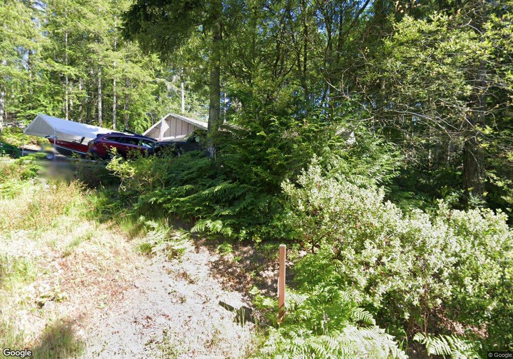
161 E Jarrett Dr Shelton, WA 98584
Estimated Value: $433,810 - $529,000
3
Beds
2
Baths
1,308
Sq Ft
$367/Sq Ft
Est. Value
About This Home
This home is located at 161 E Jarrett Dr, Shelton, WA 98584 and is currently estimated at $479,703, approximately $366 per square foot. 161 E Jarrett Dr is a home located in Mason County with nearby schools including Pioneer Primary School, Pioneer Intermediate/Middle School, and Abba's Garden Academy.
Ownership History
Date
Name
Owned For
Owner Type
Purchase Details
Closed on
May 29, 2015
Sold by
Stephen Johnson Inc
Bought by
Brush William D and Brush Renee A
Current Estimated Value
Home Financials for this Owner
Home Financials are based on the most recent Mortgage that was taken out on this home.
Original Mortgage
$187,466
Outstanding Balance
$144,625
Interest Rate
3.64%
Mortgage Type
VA
Estimated Equity
$335,078
Purchase Details
Closed on
Sep 13, 2005
Sold by
Reynolds Martin T and Johnson Jason
Bought by
Stephen Johnson Inc
Create a Home Valuation Report for This Property
The Home Valuation Report is an in-depth analysis detailing your home's value as well as a comparison with similar homes in the area
Purchase History
| Date | Buyer | Sale Price | Title Company |
|---|---|---|---|
| Brush William D | $184,780 | Land Title Co | |
| Stephen Johnson Inc | $50,000 | Land Title Co |
Source: Public Records
Mortgage History
| Date | Status | Borrower | Loan Amount |
|---|---|---|---|
| Open | Brush William D | $187,466 |
Source: Public Records
Tax History
| Year | Tax Paid | Tax Assessment Tax Assessment Total Assessment is a certain percentage of the fair market value that is determined by local assessors to be the total taxable value of land and additions on the property. | Land | Improvement |
|---|---|---|---|---|
| 2025 | $2,606 | $335,260 | $51,550 | $283,710 |
| 2023 | $2,606 | $315,995 | $47,330 | $268,665 |
| 2022 | $2,218 | $229,880 | $38,170 | $191,710 |
| 2021 | $2,807 | $229,880 | $38,170 | $191,710 |
| 2020 | $2,682 | $269,055 | $37,420 | $231,635 |
| 2018 | $2,152 | $188,370 | $33,635 | $154,735 |
| 2017 | $1,628 | $188,370 | $33,635 | $154,735 |
| 2016 | $1,587 | $146,750 | $30,240 | $116,510 |
| 2015 | $1,035 | $142,780 | $29,295 | $113,485 |
| 2014 | -- | $103,060 | $29,925 | $73,135 |
| 2013 | -- | $32,550 | $28,350 | $4,200 |
Source: Public Records
Map
Nearby Homes
- 0 E Strong Rd Unit 34 24009692
- 0 E Strong Rd Unit 43 24316768
- 0 E Strong Rd Unit 34 NWM2308734
- 0 E Strong Rd Unit 43 NWM2308755
- 0 E Willchar Blvd
- 11 E Geist Point Rd
- 161 E Geist Point Dr
- 2800 E Phillips Lake Loop Rd
- 1671 E Phillips Lake Loop Rd
- 1651 E Phillips Lake Loop Rd
- 6191 E Pickering Rd
- 0 Lot 5 E Pickering Rd
- 382 E Bergeson Rd
- 0 E Cottonwood Dr Unit 13 NWM2308746
- 0 E Cottonwood Dr Unit 40
- 0 E Cottonwood Dr Unit 40 NWM2308766
- 0 E Cottonwood Dr Unit 13 24324515
- 1130 E Sunset Hill Rd
- 4 E Cottonwood Dr
- 0 E Pickering Rd Unit 26331204
- 180 E Jarrett Dr
- 170 E Jarrett Dr
- 131 E Jarrett Dr
- 136 E Skyview Ct
- 150 E Jarrett Dr
- 141 E Skyview Ct
- 100 E Jarrett Dr
- 131 E Skyview Ct
- 90 E Skyview Ct
- 51 E Jarrett Dr
- 0 XX E Skyview Ct
- 81 E Skyview Ct
- 60 E Jarrett Dr
- 140 E Spencer Ridge Place
- 100 E Spencer Ridge Place
- 41 E Jarrett Dr
- 42 E Jarrett Dr
- 60 E Spencer Ridge Place
- 60 E Skyview Ct
- 41 E Skyview Ct
Your Personal Tour Guide
Ask me questions while you tour the home.