161 Fort Lone Tree Rd Capitan, NM 88316
Estimated Value: $451,000 - $588,648
3
Beds
2
Baths
1,792
Sq Ft
$301/Sq Ft
Est. Value
About This Home
This home is located at 161 Fort Lone Tree Rd, Capitan, NM 88316 and is currently estimated at $539,216, approximately $300 per square foot. 161 Fort Lone Tree Rd is a home located in Lincoln County with nearby schools including Capitan Elementary School, Capitan Middle School, and Capitan High School.
Ownership History
Date
Name
Owned For
Owner Type
Purchase Details
Closed on
Sep 10, 2021
Sold by
Able Wesley A and Able Ina M
Bought by
Bradford Robert E and Bradford Angela D
Current Estimated Value
Home Financials for this Owner
Home Financials are based on the most recent Mortgage that was taken out on this home.
Original Mortgage
$295,200
Outstanding Balance
$268,610
Interest Rate
2.8%
Mortgage Type
New Conventional
Estimated Equity
$270,606
Purchase Details
Closed on
Oct 30, 2015
Sold by
Fancher B W and Fancher Deidre
Bought by
Fancher B W and Fancher Deidre
Create a Home Valuation Report for This Property
The Home Valuation Report is an in-depth analysis detailing your home's value as well as a comparison with similar homes in the area
Purchase History
| Date | Buyer | Sale Price | Title Company |
|---|---|---|---|
| Bradford Robert E | -- | Lincoln County Abstract & Titl | |
| Bradford Robert E | -- | Lincoln Cnty Abstract & Ttl | |
| Fancher B W | -- | None Available |
Source: Public Records
Mortgage History
| Date | Status | Borrower | Loan Amount |
|---|---|---|---|
| Open | Bradford Robert E | $295,200 |
Source: Public Records
Tax History
| Year | Tax Paid | Tax Assessment Tax Assessment Total Assessment is a certain percentage of the fair market value that is determined by local assessors to be the total taxable value of land and additions on the property. | Land | Improvement |
|---|---|---|---|---|
| 2025 | $2,277 | $126,089 | $25,966 | $100,123 |
| 2024 | $2,238 | $126,089 | $25,966 | $100,123 |
| 2023 | $2,238 | $126,089 | $25,966 | $100,123 |
| 2022 | $2,059 | $126,089 | $25,966 | $100,123 |
| 2021 | $1,913 | $80,598 | $2,122 | $78,476 |
| 2020 | $2,164 | $80,598 | $2,122 | $78,476 |
| 2019 | $2,019 | $71,547 | $2,122 | $69,425 |
| 2018 | $2,009 | $71,485 | $2,060 | $69,425 |
| 2017 | $1,946 | $71,425 | $2,000 | $69,425 |
Source: Public Records
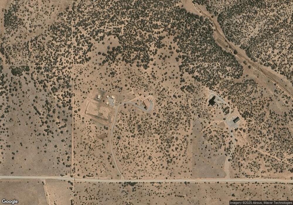
Map
Nearby Homes
- 185 Fort Lone Tree Rd
- 398 Pine Lodge Rd
- 331 Pne Ldg Rd
- 262 Dawson Rd
- 146 Jackalope Rd
- 120 Lookout Peak Rd
- Lots 5,6 Dawson Rd
- 101 Salado Rd
- Lot 8&9 Lookout Peak Rd
- 109 Salado Rd
- 8406 Hwy 380
- 665 U S 380
- 8412 Us Highway 380
- 252 Bancroft Rd
- 229 W Fifth St
- 117 Lodestar
- 107 Lodestar
- 112 Ridley Rd
- 104 N View Dr
- 280 Indian Divide Rd
Your Personal Tour Guide
Ask me questions while you tour the home.