161 Fort Point Rd North Weymouth, MA 02191
North Weymouth NeighborhoodEstimated Value: $683,707 - $781,000
3
Beds
2
Baths
1,368
Sq Ft
$547/Sq Ft
Est. Value
About This Home
This home is located at 161 Fort Point Rd, North Weymouth, MA 02191 and is currently estimated at $748,677, approximately $547 per square foot. 161 Fort Point Rd is a home located in Norfolk County with nearby schools including Wessagusset Elementary School, Abigail Adams Middle School, and Weymouth Middle School Chapman.
Ownership History
Date
Name
Owned For
Owner Type
Purchase Details
Closed on
Nov 16, 2011
Sold by
Holmes Int
Bought by
Russian Edward C
Current Estimated Value
Home Financials for this Owner
Home Financials are based on the most recent Mortgage that was taken out on this home.
Original Mortgage
$180,000
Outstanding Balance
$71,101
Interest Rate
3.92%
Mortgage Type
Purchase Money Mortgage
Estimated Equity
$677,576
Purchase Details
Closed on
Nov 24, 2004
Sold by
Blake Mary A and Holmes Mary B
Bought by
Holmes Int
Create a Home Valuation Report for This Property
The Home Valuation Report is an in-depth analysis detailing your home's value as well as a comparison with similar homes in the area
Home Values in the Area
Average Home Value in this Area
Purchase History
| Date | Buyer | Sale Price | Title Company |
|---|---|---|---|
| Russian Edward C | $340,000 | -- | |
| Holmes Int | -- | -- |
Source: Public Records
Mortgage History
| Date | Status | Borrower | Loan Amount |
|---|---|---|---|
| Open | Russian Edward C | $180,000 |
Source: Public Records
Tax History Compared to Growth
Tax History
| Year | Tax Paid | Tax Assessment Tax Assessment Total Assessment is a certain percentage of the fair market value that is determined by local assessors to be the total taxable value of land and additions on the property. | Land | Improvement |
|---|---|---|---|---|
| 2025 | $6,177 | $611,600 | $347,800 | $263,800 |
| 2024 | $6,071 | $591,100 | $331,300 | $259,800 |
| 2023 | $5,839 | $558,800 | $306,800 | $252,000 |
| 2022 | $5,920 | $516,600 | $299,000 | $217,600 |
| 2021 | $5,560 | $473,600 | $299,000 | $174,600 |
| 2020 | $5,394 | $452,500 | $299,000 | $153,500 |
| 2019 | $5,266 | $434,500 | $287,500 | $147,000 |
| 2018 | $4,810 | $384,800 | $246,400 | $138,400 |
| 2017 | $4,617 | $360,400 | $234,700 | $125,700 |
| 2016 | $4,298 | $335,800 | $213,200 | $122,600 |
| 2015 | $4,191 | $324,900 | $213,200 | $111,700 |
| 2014 | $4,037 | $303,500 | $198,400 | $105,100 |
Source: Public Records
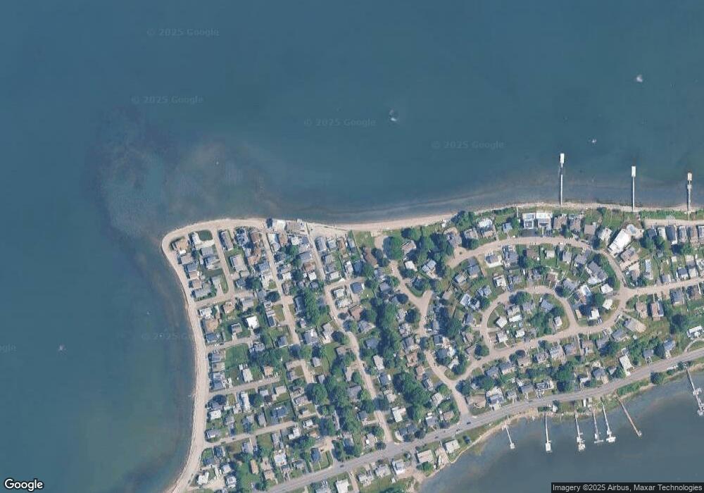
Map
Nearby Homes
- 16 Caldwell St
- 12 Wolcott St
- 69 Great Hill Dr
- 51 Broad Reach Unit T23A
- 64 Broad Reach Unit 108
- 61 Broad Reach Unit T62B
- 73 Broad Reach Unit T123C
- 73 Broad Reach Unit M33C
- 73 Broad Reach Unit T41C
- 130 Broad Reach Unit 506
- 130 Broad Reach Unit 305
- 130 Broad Reach Unit 206
- 130 Broad Reach Unit 504
- 10 Shipyard Dr Unit 313
- 41 Pecksuot Rd
- 159 Wessagussett Rd
- 95 Fuller Rd
- 137 Wessagussett Rd
- 29 Wituwamat Rd
- 141 Hms Stayner Dr Unit 306
- 157 Fort Point Rd
- 18 River View Place
- 8 Mayflower Ave
- 155 Fort Point Rd
- 12 Caldwell St
- 14 Caldwell St
- 2 Caldwell St
- 12 River View Place
- 9 Mayflower Ave
- 24 Caldwell St
- 11 Caldwell St
- 7 Caldwell St
- 15 Caldwell St
- 5 Caldwell St
- 8 River View Place
- 26 Caldwell St
- 17 Caldwell St
- 1 Caldwell St
- 15 River View Place
- 140 Fort Point Rd