161 Highway 93 N Salmon, ID 83467
Estimated Value: $363,000 - $550,000
4
Beds
2
Baths
2,820
Sq Ft
$160/Sq Ft
Est. Value
About This Home
This home is located at 161 Highway 93 N, Salmon, ID 83467 and is currently estimated at $451,654, approximately $160 per square foot. 161 Highway 93 N is a home located in Lemhi County with nearby schools including Salmon Pioneer Primary School, Salmon Jr./Sr. High School, and Fern-Waters Public Charter School.
Ownership History
Date
Name
Owned For
Owner Type
Purchase Details
Closed on
Sep 15, 2023
Sold by
Raymond Beverly Cockrell Family Living T
Bought by
Kc Ranch Llc and Cockrell
Current Estimated Value
Purchase Details
Closed on
Apr 20, 2005
Sold by
Helmandollar Pamela Kit and Holsinger Andrea Janette
Bought by
Hoffman Jeff and Hoffman Wendy Jo
Home Financials for this Owner
Home Financials are based on the most recent Mortgage that was taken out on this home.
Original Mortgage
$11,600
Interest Rate
5.99%
Mortgage Type
New Conventional
Create a Home Valuation Report for This Property
The Home Valuation Report is an in-depth analysis detailing your home's value as well as a comparison with similar homes in the area
Home Values in the Area
Average Home Value in this Area
Purchase History
| Date | Buyer | Sale Price | Title Company |
|---|---|---|---|
| Kc Ranch Llc | -- | None Listed On Document | |
| Hoffman Jeff | -- | None Available |
Source: Public Records
Mortgage History
| Date | Status | Borrower | Loan Amount |
|---|---|---|---|
| Previous Owner | Hoffman Jeff | $11,600 |
Source: Public Records
Tax History Compared to Growth
Tax History
| Year | Tax Paid | Tax Assessment Tax Assessment Total Assessment is a certain percentage of the fair market value that is determined by local assessors to be the total taxable value of land and additions on the property. | Land | Improvement |
|---|---|---|---|---|
| 2025 | $1,136 | $340,779 | $22,656 | $318,123 |
| 2024 | $840 | $340,832 | $22,709 | $318,123 |
| 2023 | $686 | $340,768 | $22,645 | $318,123 |
| 2022 | $841 | $340,724 | $22,601 | $318,123 |
| 2021 | $502 | $166,120 | $22,585 | $143,535 |
| 2020 | $524 | $166,118 | $22,583 | $143,535 |
| 2019 | $513 | $166,130 | $22,595 | $143,535 |
| 2018 | $522 | $166,175 | $22,640 | $143,535 |
| 2017 | $537 | $166,161 | $22,626 | $143,535 |
| 2016 | $477 | $136,018 | $22,696 | $113,322 |
| 2013 | $495 | $135,868 | $22,546 | $113,322 |
| 2011 | $495 | $158,543 | $21,024 | $137,519 |
Source: Public Records
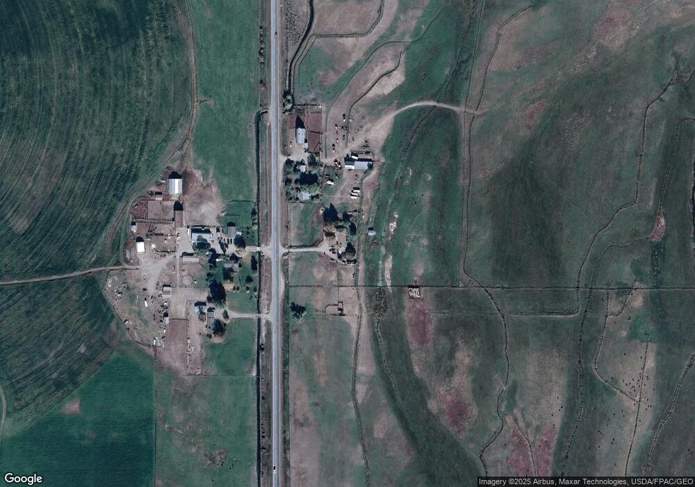
Map
Nearby Homes
- 113 U S 93
- TBD Blackrock Rd
- 309 Cobalt St
- 409 Lombard St
- LOT 2 Old Leesburg Rd
- LOT 4 Old Leesburg Rd
- LOT 3 Old Leesburg Rd
- LOT 1 Old Leesburg Rd
- 322 N Saint Charles St
- 1104 Taft Ave
- 114 Neyman St
- Lot 1 Old Leesburg Rd
- 315 Riverfront Dr
- 1307 Taft Ave
- 1505 Taft Ave
- TBD Truth Dr
- 111 10th St
- 1304 Tendoy Ave
- 233 Obsidian Dr
- TBD 2nd St
- 193 Highway 93 N
- 162 Highway 93 N
- 158 Highway 93 N
- 190 Highway 93 N
- 15 Blackadar Ln
- 121 Highway 93 N
- 1395 N Highway 93
- 14 Blackadar Ln
- 204 Highway 93 N
- 122 U S 93
- 122 Highway 93 N
- 4 N Dogwood Ln
- 5 N Dogwood Ln
- 113 Highway 93 N
- 24 Dogwood Ln
- 35 Dogwood Ln
- 9 N Dogwood Ln
- 9 Coles Ln
- 999 Loening Rd
- 10 N Dogwood Ln