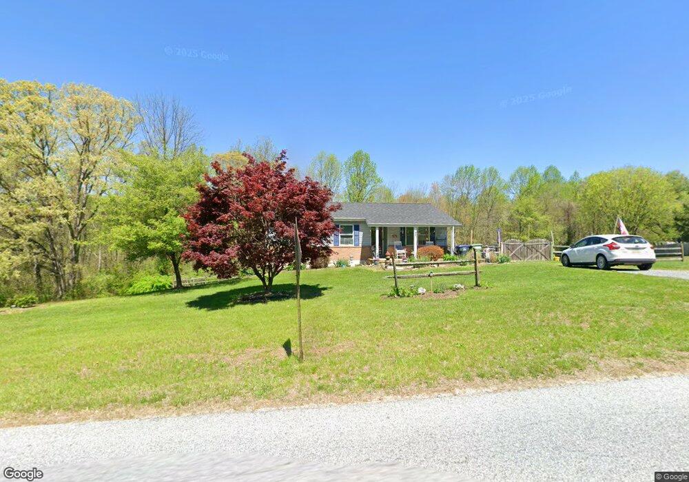
161 Leary Rd Honey Brook, PA 19344
Estimated Value: $353,318 - $392,000
3
Beds
1
Bath
1,120
Sq Ft
$330/Sq Ft
Est. Value
About This Home
This home is located at 161 Leary Rd, Honey Brook, PA 19344 and is currently estimated at $370,080, approximately $330 per square foot. 161 Leary Rd is a home located in Chester County with nearby schools including Kings Highway Elementary School, Coatesville Intermediate High School, and Coatesville Area Senior High School.
Ownership History
Date
Name
Owned For
Owner Type
Purchase Details
Closed on
Feb 8, 2020
Sold by
Mcgeehan Aime L and Baumler Aime L
Bought by
Mcgeehan Aime L
Current Estimated Value
Home Financials for this Owner
Home Financials are based on the most recent Mortgage that was taken out on this home.
Original Mortgage
$153,750
Outstanding Balance
$105,932
Interest Rate
3.6%
Mortgage Type
New Conventional
Estimated Equity
$264,148
Purchase Details
Closed on
Jan 21, 2005
Sold by
Smith Daniel E and Smith Karen L
Bought by
Baumler Aime L
Home Financials for this Owner
Home Financials are based on the most recent Mortgage that was taken out on this home.
Original Mortgage
$121,600
Interest Rate
5.66%
Mortgage Type
New Conventional
Create a Home Valuation Report for This Property
The Home Valuation Report is an in-depth analysis detailing your home's value as well as a comparison with similar homes in the area
Home Values in the Area
Average Home Value in this Area
Purchase History
| Date | Buyer | Sale Price | Title Company |
|---|---|---|---|
| Mcgeehan Aime L | -- | Closing Usa Llc | |
| Baumler Aime L | $128,000 | -- |
Source: Public Records
Mortgage History
| Date | Status | Borrower | Loan Amount |
|---|---|---|---|
| Open | Mcgeehan Aime L | $153,750 | |
| Closed | Baumler Aime L | $121,600 |
Source: Public Records
Tax History Compared to Growth
Tax History
| Year | Tax Paid | Tax Assessment Tax Assessment Total Assessment is a certain percentage of the fair market value that is determined by local assessors to be the total taxable value of land and additions on the property. | Land | Improvement |
|---|---|---|---|---|
| 2025 | $5,027 | $101,820 | $32,580 | $69,240 |
| 2024 | $5,027 | $101,820 | $32,580 | $69,240 |
| 2023 | $4,838 | $101,820 | $32,580 | $69,240 |
| 2022 | $4,607 | $101,820 | $32,580 | $69,240 |
| 2021 | $4,531 | $101,820 | $32,580 | $69,240 |
| 2020 | $4,436 | $101,820 | $32,580 | $69,240 |
| 2019 | $4,289 | $101,820 | $32,580 | $69,240 |
| 2018 | $4,102 | $101,820 | $32,580 | $69,240 |
| 2017 | $3,954 | $101,820 | $32,580 | $69,240 |
| 2016 | $3,158 | $101,820 | $32,580 | $69,240 |
| 2015 | $3,158 | $101,820 | $32,580 | $69,240 |
| 2014 | $3,158 | $101,820 | $32,580 | $69,240 |
Source: Public Records
Map
Nearby Homes
- 216 Michael Rd
- 127 Beacon Light Rd
- 116 Cambridge Rd
- 108 Cambridge Rd
- 180 Lilly Rd
- 115 Durham Dr
- 291 N Sandy Hill Rd
- 14 Blue Spruce Dr
- 2200 Beaver Dam Rd
- 317 Compass Rd
- 110 Hillbrook Dr
- 230 Rock Rd
- 471 Ash Rd
- 109 Brylin Dr
- 114 Wendy Cir
- 221 Creamery Rd
- 284 Old Mill Rd
- 14 Frederick Rd
- 240 S Bonsall Rd
- 205 Jamie Ln