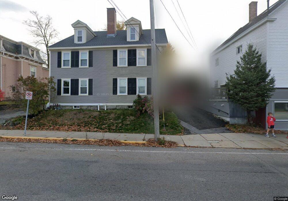
161 Main St Unit B Amesbury, MA 01913
Estimated Value: $487,312 - $813,000
3
Beds
2
Baths
1,624
Sq Ft
$399/Sq Ft
Est. Value
About This Home
This home is located at 161 Main St Unit B, Amesbury, MA 01913 and is currently estimated at $648,328, approximately $399 per square foot. 161 Main St Unit B is a home located in Essex County with nearby schools including Amesbury High School and Amesbury Seventh-Day Adventist School.
Ownership History
Date
Name
Owned For
Owner Type
Purchase Details
Closed on
Jul 24, 2024
Sold by
Moore Melissa H and Moore Thomas
Bought by
Moore Ft and Moore
Current Estimated Value
Purchase Details
Closed on
Mar 16, 1994
Sold by
Sheys Carl A and Sheys Nancy
Bought by
Moore Thomas and Harris Melissa H
Create a Home Valuation Report for This Property
The Home Valuation Report is an in-depth analysis detailing your home's value as well as a comparison with similar homes in the area
Home Values in the Area
Average Home Value in this Area
Purchase History
| Date | Buyer | Sale Price | Title Company |
|---|---|---|---|
| Moore Ft | -- | None Available | |
| Moore Ft | -- | None Available | |
| Moore Thomas | $110,000 | -- | |
| Moore Thomas | $110,000 | -- |
Source: Public Records
Mortgage History
| Date | Status | Borrower | Loan Amount |
|---|---|---|---|
| Previous Owner | Moore Thomas | $200,000 | |
| Previous Owner | Moore Thomas | $50,000 | |
| Previous Owner | Moore Thomas | $100,000 |
Source: Public Records
Tax History
| Year | Tax Paid | Tax Assessment Tax Assessment Total Assessment is a certain percentage of the fair market value that is determined by local assessors to be the total taxable value of land and additions on the property. | Land | Improvement |
|---|---|---|---|---|
| 2025 | $5,635 | $368,300 | $93,000 | $275,300 |
| 2024 | $5,679 | $363,100 | $87,800 | $275,300 |
| 2023 | $5,438 | $332,800 | $76,300 | $256,500 |
| 2022 | $5,325 | $301,000 | $66,400 | $234,600 |
| 2021 | $5,209 | $285,400 | $51,300 | $234,100 |
| 2020 | $4,592 | $267,300 | $49,300 | $218,000 |
| 2019 | $4,710 | $256,400 | $49,300 | $207,100 |
| 2018 | $4,294 | $226,100 | $46,900 | $179,200 |
| 2017 | $4,511 | $226,100 | $46,900 | $179,200 |
| 2016 | $4,334 | $213,700 | $46,900 | $166,800 |
| 2015 | $4,326 | $210,600 | $46,900 | $163,700 |
| 2014 | $4,255 | $202,900 | $46,900 | $156,000 |
Source: Public Records
Map
Nearby Homes
- 20 Lincoln Ct
- 4 Larnard Ct
- 1 Hillside Ave Unit 3
- 4 Greenwood St
- 8 Winter St
- 15 Wells Ave
- 4 Boardman St
- 19 Maple St Unit 21
- 21 River St
- 97 Elm St
- 27 Lake St
- 3 Tremont Ave Unit A
- 48 Orchard St
- 25 Cedar St Unit 4
- 253 Main St
- 101 Market St Unit B
- 10 Congress St Unit 302
- 21 Congress St
- 24 Collins St
- 35 Huntington Ave
- 161 Main St
- 159 Main St Unit 1
- 159 Main St
- 163 Main St
- 165 Main St
- 10 Sparhawk St
- 167 Main St
- 6 Lincoln Ct Unit 6
- 12 Sparhawk St Unit A
- 14 Sparhawk St Unit 14
- 16 Sparhawk St
- 14 Sparhawk St
- 12 Sparhawk St
- 12 Sparhawk St Unit A 12-14-16
- 14 Sparhawk St Unit B
- 8 Lincoln Ct
- 169 Main St
- 1 Lincoln Ct
- 5 Lincoln Ct
- 5 Lincoln Ct Unit 5
Your Personal Tour Guide
Ask me questions while you tour the home.