161 Mccurry Rd Bryson City, NC 28713
Estimated Value: $210,311 - $468,000
3
Beds
1
Bath
2,202
Sq Ft
$138/Sq Ft
Est. Value
About This Home
This home is located at 161 Mccurry Rd, Bryson City, NC 28713 and is currently estimated at $303,078, approximately $137 per square foot. 161 Mccurry Rd is a home located in Swain County with nearby schools including Swain County Middle School, Swain County West Elementary School, and Swain County High School.
Ownership History
Date
Name
Owned For
Owner Type
Purchase Details
Closed on
Apr 1, 2024
Sold by
Frady Michael L and Frady Charity C
Bought by
Mccurry Brenda D
Current Estimated Value
Purchase Details
Closed on
Oct 9, 2023
Sold by
Mccurry Brenda D
Bought by
Frady Michael L and Frady Charity C
Purchase Details
Closed on
Aug 7, 2015
Sold by
Duvall Thomas Michael and Duvall Patricia B
Bought by
Mccury Brenda D
Purchase Details
Closed on
Nov 30, 2009
Sold by
Duvall Thomas Michael and Duvall Patricia B
Bought by
Patterson John D and Patterson Debra L
Create a Home Valuation Report for This Property
The Home Valuation Report is an in-depth analysis detailing your home's value as well as a comparison with similar homes in the area
Home Values in the Area
Average Home Value in this Area
Purchase History
| Date | Buyer | Sale Price | Title Company |
|---|---|---|---|
| Mccurry Brenda D | -- | None Listed On Document | |
| Mccurry Brenda D | -- | None Listed On Document | |
| Frady Michael L | -- | None Listed On Document | |
| Frady Michael L | -- | None Listed On Document | |
| Mccury Brenda D | $25,000 | None Available | |
| Patterson John D | $4,000 | -- |
Source: Public Records
Tax History Compared to Growth
Tax History
| Year | Tax Paid | Tax Assessment Tax Assessment Total Assessment is a certain percentage of the fair market value that is determined by local assessors to be the total taxable value of land and additions on the property. | Land | Improvement |
|---|---|---|---|---|
| 2025 | $730 | $111,210 | $27,140 | $84,070 |
| 2024 | $621 | $111,210 | $27,140 | $84,070 |
| 2023 | $559 | $123,470 | $39,400 | $84,070 |
| 2022 | $559 | $123,470 | $39,400 | $84,070 |
| 2021 | $559 | $123,470 | $0 | $0 |
| 2020 | $334 | $71,840 | $37,310 | $34,530 |
| 2019 | $334 | $71,840 | $37,310 | $34,530 |
| 2018 | $334 | $71,840 | $37,310 | $34,530 |
| 2017 | $334 | $71,840 | $37,310 | $34,530 |
| 2016 | $334 | $71,840 | $37,310 | $34,530 |
| 2015 | -- | $63,590 | $29,060 | $34,530 |
| 2014 | -- | $63,590 | $29,060 | $34,530 |
Source: Public Records
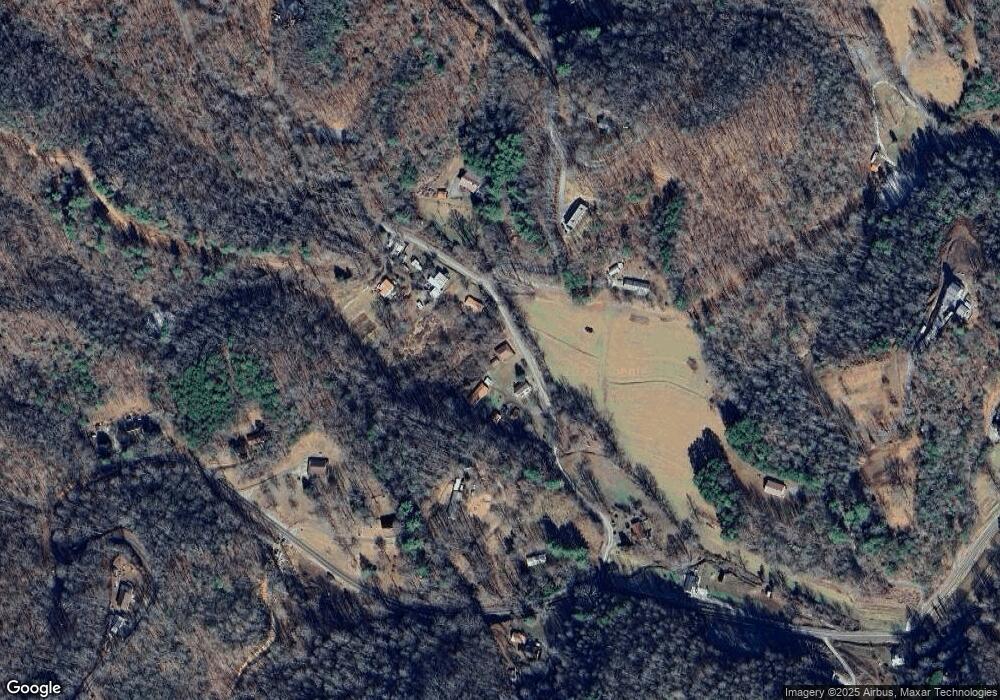
Map
Nearby Homes
- 50 Wilson Dr
- 365 Ed Jenkins Rd
- 213 Pine Meadows Rd
- Lot 16 Bryson Gap Preserve
- Lot 15 Bryson Gap Preserve
- Lot 14 Bryson Gap Preserve
- Lot 6 Biltmore Cir
- Lot 6 Biltmore Cir Unit 6
- 67 Trent Field Rd
- Lot 3 Miners Ridge
- Lot 5 Miners Ridge
- Lot 14 Fontana Ridge Rd
- 1028 Big Rockys Rd
- 361 Meadowbrook Ln
- 315 Big Rockys Rd
- 110 Gadsden Ridge
- 486 Center Dr
- 486 Center Dr Unit 7B
- 135 W Skycove Cir
- 272 W Ridge Dr
- 131 Mccurry Rd
- 209 Mccurry Rd
- 301 Mccurry Rd
- 305 Mccurry Rd
- 307 Mccurry Rd
- 300 Sam Davis Rd
- 11 Ed Jenkins Rd
- 400 Sam Davis Rd
- 12 Ed Jenkins Rd
- 460 Sam Davis Rd
- 150 Ed Jenkins Rd
- 367 Mccurry Rd
- 4 Sam Davis Rd
- 264 Ed Jenkins Rd
- 510 Sam Davis Rd
- 520 Sam Davis Rd
- 0 Ed Jenkins Rd
- 179 Ed Jenkins Rd
- 710 Sam Davis Rd
- 617 Davis Rd