161 Meadowside Dr Douglassville, PA 19518
Amity NeighborhoodEstimated Value: $631,998 - $744,000
4
Beds
4
Baths
4,835
Sq Ft
$137/Sq Ft
Est. Value
About This Home
This home is located at 161 Meadowside Dr, Douglassville, PA 19518 and is currently estimated at $664,000, approximately $137 per square foot. 161 Meadowside Dr is a home located in Berks County with nearby schools including Daniel Boone Area Primary Center, Daniel Boone Area Middle School, and Daniel Boone Area High School.
Ownership History
Date
Name
Owned For
Owner Type
Purchase Details
Closed on
Oct 30, 2006
Sold by
Heritage High Meadow Lp
Bought by
Hill Jeffrey A and Hill Catherine M
Current Estimated Value
Home Financials for this Owner
Home Financials are based on the most recent Mortgage that was taken out on this home.
Original Mortgage
$317,300
Outstanding Balance
$188,106
Interest Rate
6.25%
Mortgage Type
Adjustable Rate Mortgage/ARM
Estimated Equity
$475,894
Create a Home Valuation Report for This Property
The Home Valuation Report is an in-depth analysis detailing your home's value as well as a comparison with similar homes in the area
Home Values in the Area
Average Home Value in this Area
Purchase History
| Date | Buyer | Sale Price | Title Company |
|---|---|---|---|
| Hill Jeffrey A | $472,296 | None Available |
Source: Public Records
Mortgage History
| Date | Status | Borrower | Loan Amount |
|---|---|---|---|
| Open | Hill Jeffrey A | $317,300 |
Source: Public Records
Tax History Compared to Growth
Tax History
| Year | Tax Paid | Tax Assessment Tax Assessment Total Assessment is a certain percentage of the fair market value that is determined by local assessors to be the total taxable value of land and additions on the property. | Land | Improvement |
|---|---|---|---|---|
| 2025 | $3,505 | $268,800 | $75,000 | $193,800 |
| 2024 | $11,993 | $268,800 | $75,000 | $193,800 |
| 2023 | $11,747 | $268,800 | $75,000 | $193,800 |
| 2022 | $11,596 | $268,800 | $75,000 | $193,800 |
| 2021 | $11,301 | $268,800 | $75,000 | $193,800 |
| 2020 | $11,301 | $268,800 | $75,000 | $193,800 |
| 2019 | $11,099 | $268,800 | $75,000 | $193,800 |
| 2018 | $10,875 | $268,800 | $75,000 | $193,800 |
| 2017 | $10,624 | $268,800 | $75,000 | $193,800 |
| 2016 | $2,456 | $268,800 | $75,000 | $193,800 |
| 2015 | $2,456 | $268,800 | $75,000 | $193,800 |
| 2014 | $2,456 | $268,800 | $75,000 | $193,800 |
Source: Public Records
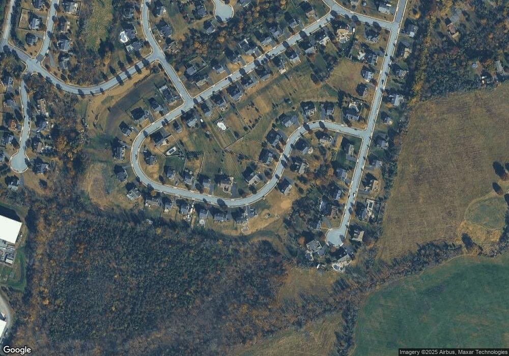
Map
Nearby Homes
- 164 Meadowside Dr
- 704 Old Swede Rd
- 523 Glenwood Dr
- 31 Allegheny St
- 420 Glenwood Dr
- 102 Russell Ave
- 639 Old Airport Rd
- 0 W Rte 422 Unit PABK2064208
- Lot 1 N Monocacy Cre Benjamin Franklin Hwy
- Lot 3 Benjamin Franklin Hwy
- Lot 4 Benjamin Franklin Hwy
- 175 Levengood Rd
- 107 Clarion Dr
- 131 Squirrel Hollow Rd
- 109 Old Airport Rd
- 129 Rattlesnake Hill Rd
- 306 Kingston Dr
- 0 Squirrel Hollow Rd
- 39 Westin Rd
- 94 Random Rd
- 151 Meadowside Dr
- 169 Meadowside Dr
- 154 Meadowside Dr
- 145 Meadowside Dr
- 173 Meadowside Dr
- 150 Meadowside Dr
- 170 Meadowside Dr
- 174 Meadowside Dr
- 141 Meadowside Dr
- 146 Meadowside Dr
- 33 Meadowside Dr
- 37 Meadowside Dr
- 177 Meadowside Dr
- 720 Green Meadow Dr
- 142 Meadowside Dr
- 714 Green Meadow Dr
- 710 Green Meadow Dr
- 137 Meadowside Dr
- 105 Meadowside Dr
- 188 Meadowside Dr