161 Morrison Rd Millerton, NY 12546
North East NeighborhoodEstimated Value: $1,491,000 - $2,892,000
4
Beds
4
Baths
4,105
Sq Ft
$559/Sq Ft
Est. Value
About This Home
This home is located at 161 Morrison Rd, Millerton, NY 12546 and is currently estimated at $2,293,768, approximately $558 per square foot. 161 Morrison Rd is a home with nearby schools including Stissing Mountain High School.
Ownership History
Date
Name
Owned For
Owner Type
Purchase Details
Closed on
Aug 28, 2014
Sold by
Oresman Stephen
Bought by
Wilson James and Wilson
Current Estimated Value
Home Financials for this Owner
Home Financials are based on the most recent Mortgage that was taken out on this home.
Original Mortgage
$105,000
Outstanding Balance
$76,863
Interest Rate
3%
Mortgage Type
New Conventional
Estimated Equity
$2,216,905
Purchase Details
Closed on
Sep 5, 2000
Sold by
Colonial Restorations And Reproductions, Llc
Bought by
Oresman Stephen B
Create a Home Valuation Report for This Property
The Home Valuation Report is an in-depth analysis detailing your home's value as well as a comparison with similar homes in the area
Home Values in the Area
Average Home Value in this Area
Purchase History
| Date | Buyer | Sale Price | Title Company |
|---|---|---|---|
| Wilson James | $1,505,000 | Shawn B Pratt | |
| Oresman Stephen B | $235,000 | David Stack |
Source: Public Records
Mortgage History
| Date | Status | Borrower | Loan Amount |
|---|---|---|---|
| Open | Wilson James | $105,000 |
Source: Public Records
Tax History
| Year | Tax Paid | Tax Assessment Tax Assessment Total Assessment is a certain percentage of the fair market value that is determined by local assessors to be the total taxable value of land and additions on the property. | Land | Improvement |
|---|---|---|---|---|
| 2024 | $37,884 | $2,183,500 | $424,600 | $1,758,900 |
| 2023 | $35,159 | $2,031,700 | $424,500 | $1,607,200 |
| 2019 | $30,940 | $1,465,700 | $273,400 | $1,192,300 |
Source: Public Records
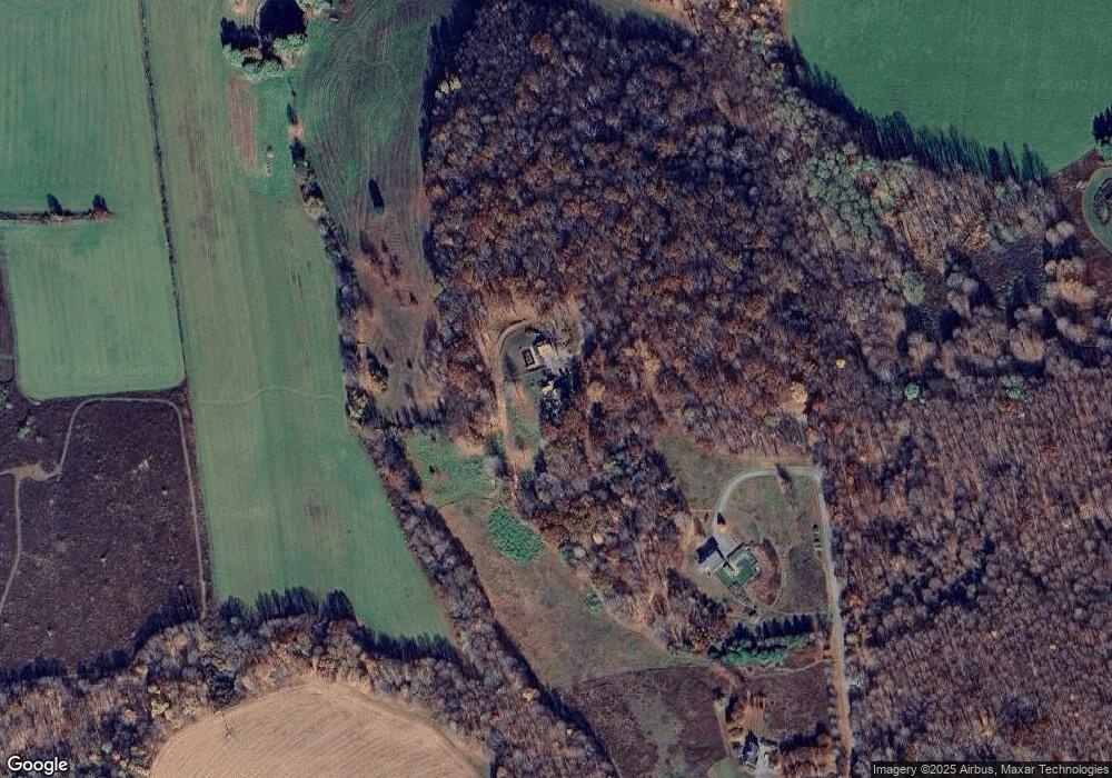
Map
Nearby Homes
- 1515-1517 County Road 83
- 1533-1539 Route 83
- 0 Silver Mountain Rd Unit KEY968200
- 0 Silver Mountain Rd Unit KEY860241
- 317 Skunks Misery Rd
- A Skunks Misery Rd
- 710 Smithfield Rd
- 0 Skunks Misery Rd Unit KEY860535
- Lot # 5 Smithfield Rd
- 147 Moadock Rd
- 620 Bean River Rd
- 476 Carpenter Hill Rd
- 5627 Route 22
- 3362 New York 199
- 0 Smithfield Rd Unit KEY879008
- 0 Smithfield Rd Unit 157012
- 0 Smithfield Rd Unit KEY857365
- 000 New York 82
- 0 Mill Rd Unit KEY932153
- 367 Prospect Hill Rd
- 155 Morrison Rd
- 133 Morrison Rd
- 84 McGhee Hill Rd Unit 90
- 227 Charlie Hill Rd
- 1504 County Rd 83
- 119 McGhee Hill Rd
- 1504 Route 83
- 89 Morrison Rd
- 89 Morrison Rd Unit 1
- 65 McGhee Hill Rd
- 1518 Route 83
- 1530 Route 83
- 156 McGhee Hill Rd
- 155 McGhee Hill Rd
- 1495 County Rd 83
- 1485 Route 83 Unit 14
- 1486 Route 83
- 1456 Route 83
- 197 Charlie Hill Rd
- 188 McGhee Hill Rd
Your Personal Tour Guide
Ask me questions while you tour the home.