161 Mulberry Ln Blue Ridge, GA 30513
Estimated Value: $298,724 - $467,000
--
Bed
2
Baths
1,436
Sq Ft
$245/Sq Ft
Est. Value
About This Home
This home is located at 161 Mulberry Ln, Blue Ridge, GA 30513 and is currently estimated at $352,431, approximately $245 per square foot. 161 Mulberry Ln is a home located in Fannin County with nearby schools including Fannin County High School.
Ownership History
Date
Name
Owned For
Owner Type
Purchase Details
Closed on
Dec 4, 2017
Sold by
Lewis Charles Michael
Bought by
Henry Ricky T and Henry Tammy L
Current Estimated Value
Purchase Details
Closed on
Sep 2, 2008
Sold by
Addison Rick L
Bought by
Lewis Charles
Home Financials for this Owner
Home Financials are based on the most recent Mortgage that was taken out on this home.
Original Mortgage
$167,091
Interest Rate
6.49%
Mortgage Type
New Conventional
Purchase Details
Closed on
Aug 7, 2006
Sold by
Callihan Custom Cabins Llc
Bought by
Addison Rick L
Create a Home Valuation Report for This Property
The Home Valuation Report is an in-depth analysis detailing your home's value as well as a comparison with similar homes in the area
Home Values in the Area
Average Home Value in this Area
Purchase History
| Date | Buyer | Sale Price | Title Company |
|---|---|---|---|
| Henry Ricky T | $130,000 | -- | |
| Lewis Charles | $165,000 | -- | |
| Addison Rick L | $136,030 | -- |
Source: Public Records
Mortgage History
| Date | Status | Borrower | Loan Amount |
|---|---|---|---|
| Previous Owner | Lewis Charles | $167,091 |
Source: Public Records
Tax History Compared to Growth
Tax History
| Year | Tax Paid | Tax Assessment Tax Assessment Total Assessment is a certain percentage of the fair market value that is determined by local assessors to be the total taxable value of land and additions on the property. | Land | Improvement |
|---|---|---|---|---|
| 2024 | $777 | $96,084 | $23,584 | $72,500 |
| 2023 | $777 | $84,423 | $23,584 | $60,839 |
| 2022 | $777 | $84,423 | $23,584 | $60,839 |
| 2021 | $834 | $61,454 | $23,584 | $37,870 |
| 2020 | $876 | $61,454 | $23,584 | $37,870 |
| 2019 | $840 | $57,808 | $23,584 | $34,224 |
| 2018 | $705 | $45,738 | $11,514 | $34,224 |
| 2017 | $831 | $46,954 | $11,514 | $35,440 |
| 2016 | $723 | $42,556 | $11,514 | $31,042 |
| 2015 | $765 | $43,121 | $11,514 | $31,606 |
| 2014 | $815 | $45,987 | $12,768 | $33,219 |
| 2013 | -- | $36,745 | $12,767 | $23,977 |
Source: Public Records
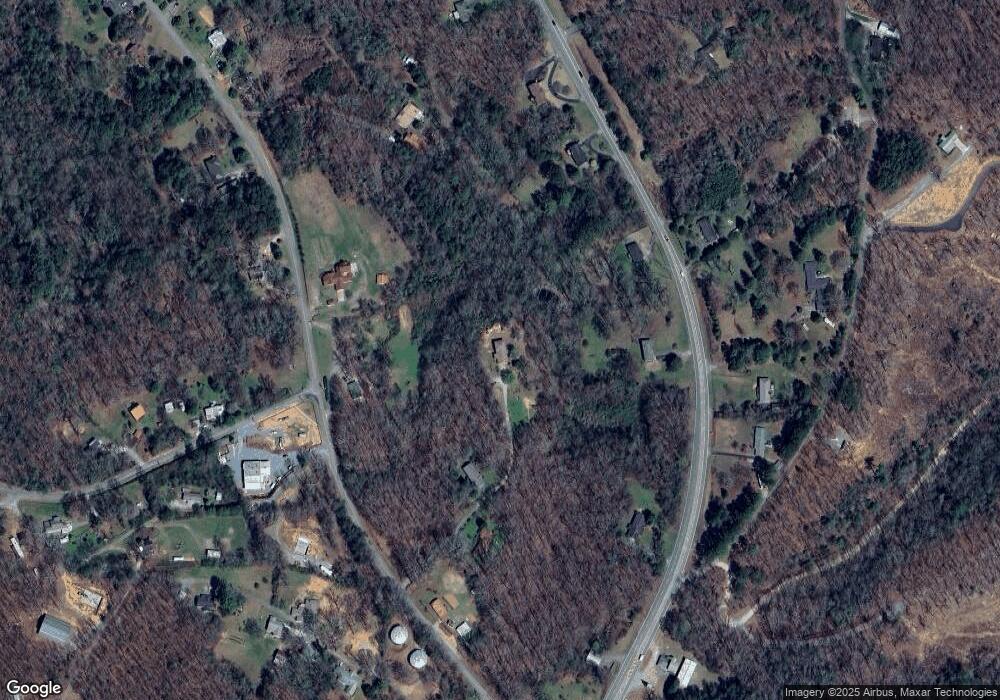
Map
Nearby Homes
- 465 White Oak Cir
- 3 White Oak Cir
- Lot 1 White Oak Cir
- 265 Ross Rd
- Lt27,28B Haven Way
- lot 11 Haven Way
- 76 White Oak Dr
- LOT 1 Hidden Acres
- 162 Grayson Point
- Lot 40 Lookout Dr
- Lot 31 Lookout Dr
- 83 Windfield Cir
- 30 Lookout Dr
- 161 Sky High Dr
- 36 Deep Cove Rd
- 140 Arbor Way
- 100 Arbor Way
- 470 Blue Ridge Dr
- 585 Blue Ridge Dr
- 4490 Blue Ridge Dr
- 4282 Blue Ridge Dr
- 77 Mulberry Ln
- 4214 Blue Ridge Dr
- 1391 Old Highway 5
- 60 Mulberry Ln
- 4142 Blue Ridge Dr
- 4414 Blue Ridge Dr
- 4215 Blue Ridge Dr
- 1617 Old Highway 5
- 1279 Old Highway 5
- 1370 Old Highway 5
- 4100 Blue Ridge Dr
- 4100 Blue Ridge Dr
- 4343 Blue Ridge Dr
- 4311 Blue Ridge Dr
- 1484 Old Highway 5
- 206 Ross Rd
- 1300 Old Highway 5
- 4040 Blue Ridge Dr