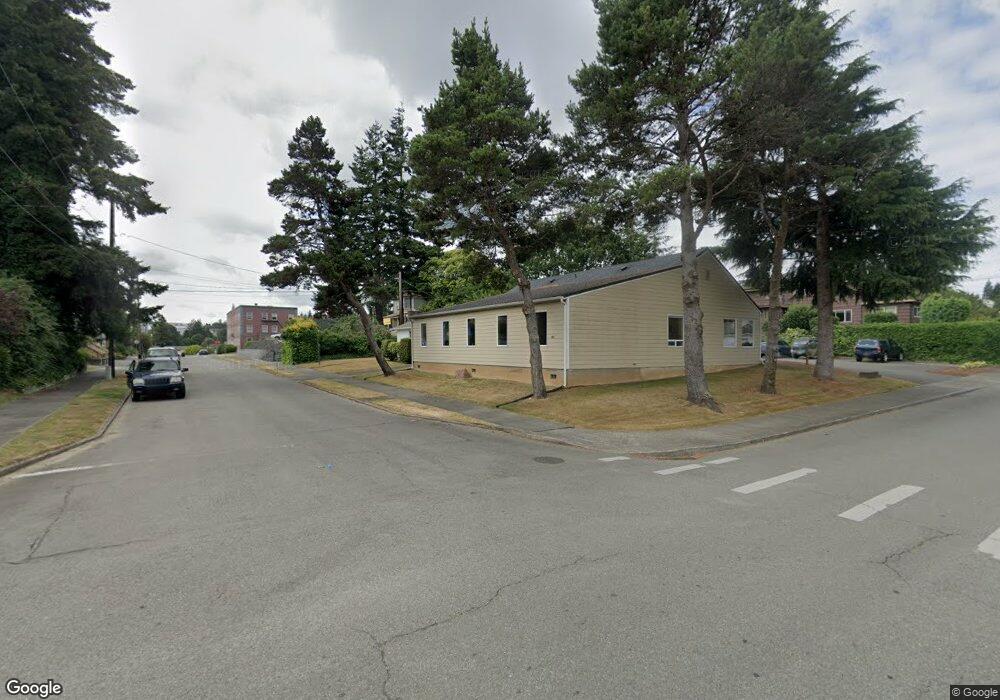
161 N 9th St Coos Bay, OR 97420
Estimated Value: $240,000 - $265,817
2
Beds
1
Bath
1,152
Sq Ft
$220/Sq Ft
Est. Value
About This Home
This home is located at 161 N 9th St, Coos Bay, OR 97420 and is currently estimated at $252,909, approximately $219 per square foot. 161 N 9th St is a home located in Coos County with nearby schools including Eastside School, Millicoma School, and Marshfield Senior High School.
Ownership History
Date
Name
Owned For
Owner Type
Purchase Details
Closed on
Oct 31, 2019
Sold by
Holt Heartland Enterprises Llc
Bought by
Holt Thomas J and Holt Noriko
Current Estimated Value
Home Financials for this Owner
Home Financials are based on the most recent Mortgage that was taken out on this home.
Original Mortgage
$65,000
Outstanding Balance
$43,889
Interest Rate
3.7%
Mortgage Type
New Conventional
Estimated Equity
$209,020
Create a Home Valuation Report for This Property
The Home Valuation Report is an in-depth analysis detailing your home's value as well as a comparison with similar homes in the area
Home Values in the Area
Average Home Value in this Area
Purchase History
| Date | Buyer | Sale Price | Title Company |
|---|---|---|---|
| Holt Thomas J | -- | Ticor Title Co |
Source: Public Records
Mortgage History
| Date | Status | Borrower | Loan Amount |
|---|---|---|---|
| Open | Holt Thomas J | $65,000 |
Source: Public Records
Tax History Compared to Growth
Tax History
| Year | Tax Paid | Tax Assessment Tax Assessment Total Assessment is a certain percentage of the fair market value that is determined by local assessors to be the total taxable value of land and additions on the property. | Land | Improvement |
|---|---|---|---|---|
| 2024 | $2,262 | $130,160 | -- | -- |
| 2023 | $2,194 | $126,370 | $0 | $0 |
| 2022 | $2,158 | $122,690 | $0 | $0 |
| 2021 | $2,102 | $119,120 | $0 | $0 |
| 2020 | $2,043 | $119,120 | $0 | $0 |
| 2019 | $1,961 | $112,300 | $0 | $0 |
| 2018 | $1,894 | $109,030 | $0 | $0 |
| 2017 | $1,679 | $105,860 | $0 | $0 |
| 2016 | $1,602 | $102,779 | $0 | $0 |
| 2015 | $1,329 | $87,320 | $0 | $0 |
| 2014 | $1,329 | $85,610 | $0 | $0 |
Source: Public Records
Map
Nearby Homes
- 173 N 11th St
- 790 Commercial Ave
- 1231 Central Ave
- 620 N 9th St
- 560 N 10th St
- 1311 Central Ave
- 0 N 9th St Unit 1600 22450966
- 1381 Central Ave
- 1048 Elrod Ave
- 780 N 10th St
- 0 Elrod Ave
- 731 Elrod Ave
- 539 S 12th St
- 625 S 9th St
- 643 S 12th Ct
- 830 Signal Way
- 1088 N 8th St
- 546 W Fir Ave
- 0 S 5th St
- 834 S 11th St
- 971 Commercial Ave
- 158 N 10th St
- 154 N 9th St
- 954 Commercial Ave
- 964 Commercial Ave
- 980 Commercial Ave
- 220 N 10th St
- 840 Central Ave
- 151 N 8th St
- 161 N 10th St
- 191 N 10th St
- 135 N 10th St
- 109 S 9th St
- 1010 Central Ave
- 230 N 10th St
- 945 Central Ave
- 967 Central Ave
- 860 Central
- 983 Central Ave
- 810 Central Ave