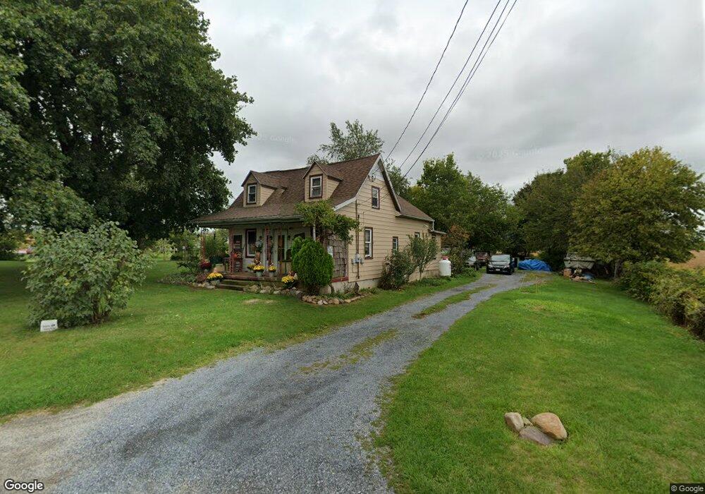
161 N Locust Point Rd Mechanicsburg, PA 17050
Estimated Value: $253,000 - $301,000
2
Beds
1
Bath
1,438
Sq Ft
$188/Sq Ft
Est. Value
About This Home
This home is located at 161 N Locust Point Rd, Mechanicsburg, PA 17050 and is currently estimated at $270,288, approximately $187 per square foot. 161 N Locust Point Rd is a home located in Cumberland County with nearby schools including Monroe Elementary School, Eagle View Middle School, and Cumberland Valley High School.
Ownership History
Date
Name
Owned For
Owner Type
Purchase Details
Closed on
Jun 11, 2007
Sold by
Fishel Kim A
Bought by
Parry Stephen T
Current Estimated Value
Home Financials for this Owner
Home Financials are based on the most recent Mortgage that was taken out on this home.
Original Mortgage
$100,000
Outstanding Balance
$61,189
Interest Rate
6.19%
Mortgage Type
New Conventional
Estimated Equity
$209,099
Create a Home Valuation Report for This Property
The Home Valuation Report is an in-depth analysis detailing your home's value as well as a comparison with similar homes in the area
Home Values in the Area
Average Home Value in this Area
Purchase History
| Date | Buyer | Sale Price | Title Company |
|---|---|---|---|
| Parry Stephen T | $122,500 | -- |
Source: Public Records
Mortgage History
| Date | Status | Borrower | Loan Amount |
|---|---|---|---|
| Open | Parry Stephen T | $100,000 |
Source: Public Records
Tax History Compared to Growth
Tax History
| Year | Tax Paid | Tax Assessment Tax Assessment Total Assessment is a certain percentage of the fair market value that is determined by local assessors to be the total taxable value of land and additions on the property. | Land | Improvement |
|---|---|---|---|---|
| 2025 | $2,841 | $176,300 | $78,500 | $97,800 |
| 2024 | $2,703 | $176,300 | $78,500 | $97,800 |
| 2023 | $2,566 | $176,300 | $78,500 | $97,800 |
| 2022 | $2,503 | $176,300 | $78,500 | $97,800 |
| 2021 | $2,449 | $176,300 | $78,500 | $97,800 |
| 2020 | $2,404 | $176,300 | $78,500 | $97,800 |
| 2019 | $2,364 | $176,300 | $78,500 | $97,800 |
| 2018 | $2,324 | $176,300 | $78,500 | $97,800 |
| 2017 | $2,283 | $176,300 | $78,500 | $97,800 |
| 2016 | -- | $176,300 | $78,500 | $97,800 |
| 2015 | -- | $176,300 | $78,500 | $97,800 |
| 2014 | -- | $176,300 | $78,500 | $97,800 |
Source: Public Records
Map
Nearby Homes
- 265 Founders Way
- 86 Presidents Dr
- 75 Presidents Dr
- 56 W Main St
- 110 Madison Dr
- 111 Madison Dr
- 113 Madison Dr
- 121 Madison Dr
- 228 Loyal Dr
- 21 Timber Rd
- 102 Madison Dr
- 103 Madison Dr
- 104 Madison Dr
- 105 Madison Dr
- 106 Madison Dr
- 107 Madison Dr
- 109 Madison Dr
- 111 N Madder Dr
- 1239 W Trindle Rd
- 53 Bourbon Red Dr
- 159 N Locust Point Rd
- 133 N Locust Point Rd
- 126 N Locust Point Rd
- 124 N Locust Point Rd
- 195 Konhaus Rd
- 120 N Locust Point Rd
- 122 N Locust Point Rd
- 194 Konhaus Rd Unit R0AD
- 193 Konhaus Rd
- 35 Kost Rd
- 201 N Locust Point Rd
- 118 N Locust Point Rd
- 114 N Locust Point Rd
- 191 Konhaus Rd
- 10 Kost Rd
- 291 Texaco Rd
- 203 N Locust Point Rd
- 189 Konhaus Rd
- 287 Texaco Rd
- 190 Konhaus Rd