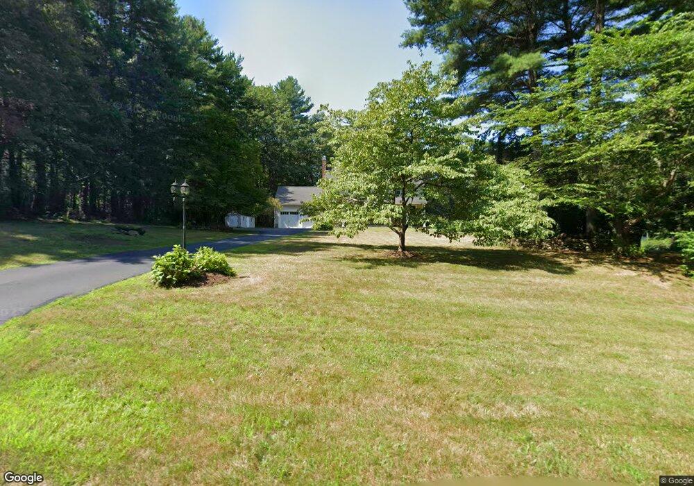
161 Nathan Ln Carlisle, MA 01741
Estimated Value: $1,502,239 - $2,290,000
4
Beds
4
Baths
3,500
Sq Ft
$501/Sq Ft
Est. Value
About This Home
This home is located at 161 Nathan Ln, Carlisle, MA 01741 and is currently estimated at $1,754,060, approximately $501 per square foot. 161 Nathan Ln is a home located in Middlesex County with nearby schools including Carlisle School.
Ownership History
Date
Name
Owned For
Owner Type
Purchase Details
Closed on
Jun 1, 2009
Sold by
Donohue Jessica and Donohue Timothy D A
Bought by
Barry Joseph M and Barry Jean J
Current Estimated Value
Home Financials for this Owner
Home Financials are based on the most recent Mortgage that was taken out on this home.
Original Mortgage
$100,000
Interest Rate
4.87%
Mortgage Type
Purchase Money Mortgage
Purchase Details
Closed on
Jun 30, 2005
Sold by
Shieh Falin and Shieh Karin
Bought by
Donohue Jessica and Donohue Timothy D A
Purchase Details
Closed on
Aug 30, 1991
Sold by
Moss Franklin and Moss Kimberly
Bought by
Shieh Falin and Shieh Karin
Purchase Details
Closed on
Oct 13, 1989
Sold by
Baker Blake
Bought by
Moss Franklin
Create a Home Valuation Report for This Property
The Home Valuation Report is an in-depth analysis detailing your home's value as well as a comparison with similar homes in the area
Home Values in the Area
Average Home Value in this Area
Purchase History
| Date | Buyer | Sale Price | Title Company |
|---|---|---|---|
| Barry Joseph M | $924,000 | -- | |
| Donohue Jessica | $985,000 | -- | |
| Shieh Falin | $340,000 | -- | |
| Moss Franklin | $390,000 | -- |
Source: Public Records
Mortgage History
| Date | Status | Borrower | Loan Amount |
|---|---|---|---|
| Open | Moss Franklin | $721,600 | |
| Closed | Barry Joseph M | $100,000 | |
| Closed | Moss Franklin | $731,600 |
Source: Public Records
Tax History Compared to Growth
Tax History
| Year | Tax Paid | Tax Assessment Tax Assessment Total Assessment is a certain percentage of the fair market value that is determined by local assessors to be the total taxable value of land and additions on the property. | Land | Improvement |
|---|---|---|---|---|
| 2025 | $17,942 | $1,361,300 | $588,900 | $772,400 |
| 2024 | $16,516 | $1,239,000 | $523,500 | $715,500 |
| 2023 | $15,660 | $1,106,700 | $501,400 | $605,300 |
| 2022 | $15,386 | $932,500 | $435,900 | $496,600 |
| 2021 | $15,181 | $932,500 | $435,900 | $496,600 |
| 2020 | $15,924 | $867,300 | $370,600 | $496,700 |
| 2019 | $15,634 | $854,800 | $370,600 | $484,200 |
| 2018 | $15,443 | $849,900 | $370,600 | $479,300 |
| 2017 | $14,744 | $836,800 | $370,600 | $466,200 |
| 2016 | $14,216 | $826,500 | $370,600 | $455,900 |
| 2015 | $13,807 | $726,700 | $353,100 | $373,600 |
| 2014 | $13,546 | $726,700 | $353,100 | $373,600 |
Source: Public Records
Map
Nearby Homes
- 1056 Curve St
- 1420 Curve St
- 225 Lowell St
- 12 Martin St
- 8 Kay's Walk Unit 13
- 14 Kay's Walk
- 6 Kay's Walk Unit 6
- 6 Kay's Walk
- 2 Kay's Walk Unit 18
- 4 Kay's Walk Unit 15
- 3 Kay's Walk
- 15 Kay's Walk
- 1 Kay's Walk Unit 1
- 1 Kay's Walk
- 13 Kay's Walk
- 15 Kay's Walk Unit 4
- 3 Kay's Walk Unit 3
- 1 Garrison Way Unit 1
- 5 Carriage Dr
- 875 Acton St
- 172 Nathan Ln
- 135 Nathan Ln
- 148 Nathan Ln
- 199 Nathan Ln
- 153 Nathan Ln
- 77 Nathan Ln
- 124 Nathan Ln
- 231 Nathan Ln
- 53 Nathan Ln
- 100 Nathan Ln
- 272 Virginia Farme Ln
- 80 Nathan Ln
- 335 Elizabeth Ridge Rd
- 35 Nathan Ln
- 311 Elizabeth Ridge Rd
- 258 Virginia Farme Ln
- 264 Munroe Hill Rd
- 259 Elizabeth Ridge Rd
- 251 Munroe Hill Rd
- 252 Munroe Hill Rd