161 Pal Rd Eastman, GA 31023
Estimated Value: $181,109 - $271,000
--
Bed
2
Baths
1,584
Sq Ft
$131/Sq Ft
Est. Value
About This Home
This home is located at 161 Pal Rd, Eastman, GA 31023 and is currently estimated at $208,277, approximately $131 per square foot. 161 Pal Rd is a home located in Dodge County with nearby schools including Dodge County High School.
Ownership History
Date
Name
Owned For
Owner Type
Purchase Details
Closed on
Jun 13, 2025
Sold by
Jones Connie G
Bought by
Rogers Wendy E
Current Estimated Value
Purchase Details
Closed on
Mar 30, 2022
Sold by
Jones Connie G
Bought by
Jones Connie G Life Estate and Rogers Wendy E
Purchase Details
Closed on
Sep 13, 2019
Sold by
Jones Connie G
Bought by
Mincey Jessie K and Mincey Joni T
Create a Home Valuation Report for This Property
The Home Valuation Report is an in-depth analysis detailing your home's value as well as a comparison with similar homes in the area
Home Values in the Area
Average Home Value in this Area
Purchase History
| Date | Buyer | Sale Price | Title Company |
|---|---|---|---|
| Rogers Wendy E | -- | -- | |
| Jones Connie G | -- | -- | |
| Jones Connie G Life Estate | -- | -- | |
| Jones Connie G | -- | -- | |
| Mincey Jessie K | $8,700 | -- |
Source: Public Records
Tax History Compared to Growth
Tax History
| Year | Tax Paid | Tax Assessment Tax Assessment Total Assessment is a certain percentage of the fair market value that is determined by local assessors to be the total taxable value of land and additions on the property. | Land | Improvement |
|---|---|---|---|---|
| 2024 | $1,554 | $61,777 | $6,404 | $55,373 |
| 2023 | $1,086 | $61,777 | $6,404 | $55,373 |
| 2022 | $1,426 | $57,407 | $4,755 | $52,652 |
| 2021 | $1,413 | $56,729 | $4,755 | $51,974 |
| 2020 | $1,417 | $56,050 | $4,076 | $51,974 |
| 2019 | $994 | $39,477 | $4,076 | $35,401 |
| 2018 | $1,009 | $39,477 | $4,076 | $35,401 |
| 2017 | $1,009 | $39,477 | $4,076 | $35,401 |
| 2016 | $888 | $36,743 | $4,076 | $32,667 |
| 2015 | -- | $36,743 | $4,076 | $32,667 |
| 2014 | -- | $36,743 | $4,076 | $32,667 |
| 2013 | -- | $50,691 | $4,075 | $46,615 |
Source: Public Records
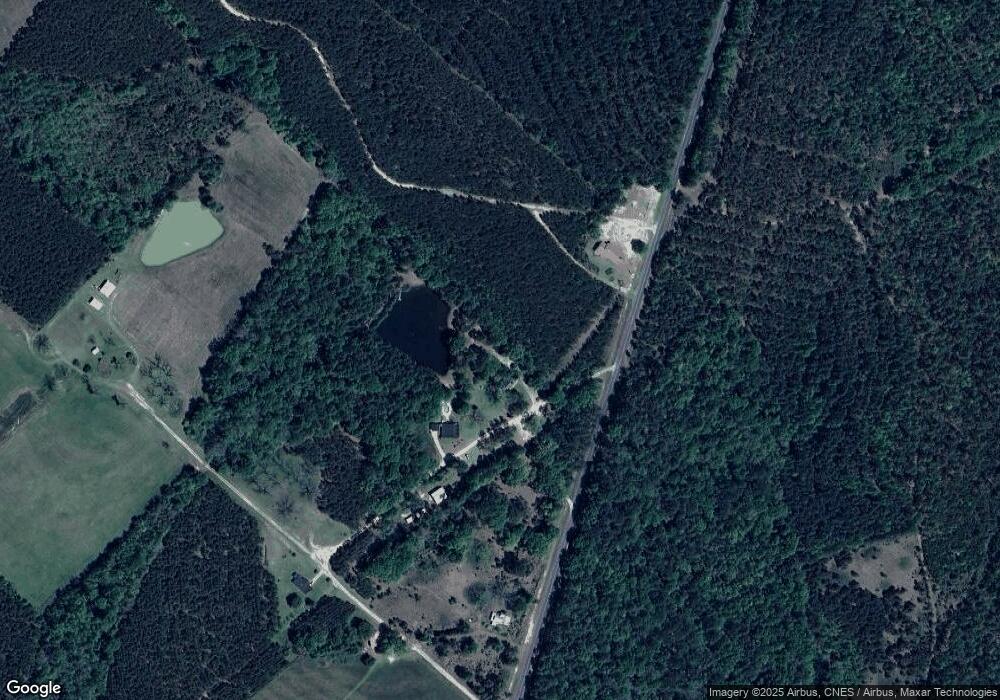
Map
Nearby Homes
- 1940 Horne Rd
- 0 Jim Pruett Rd Unit 10540625
- 0 Jim Pruett Rd Unit 23612216
- 102 Edgewood Ave
- 0 Middle Ground Church Rd
- 812 Smith Rd
- 0 Smith Rd
- 0 Bethel Church Rd Unit 10601037
- 6515 Fred Bohannon Rd
- 534 Soperton Hwy
- 5611 Cottondale Ave
- 5859 8th Ave
- 5811 5th Ave
- 0 14th Ave Unit 10617460
- 0 14th Ave Unit 7658904
- 0 Ada St Unit 10503110
- 0 Forest Ave Unit 10588959
- 220 Page St
- 5828 Oak St
- 5559 Bacon Ave
- 133 Pal Rd
- 75 Pal Rd
- 253 Middle Ground Church Rd
- 0 Pal Rd Unit 7427121
- 0 Pal Rd
- 139 Middle Ground Church Rd
- 115 Middle Ground Church Rd
- 00 Middle Ground Church Rd
- 2661 Dublin Hwy
- 2625 Dublin Hwy
- 430 Ruffin Rd
- 1144 Ocmulgee Church Rd
- 3225 Dublin Hwy
- 380 Ruffin Rd
- 324 Ocmulgee Church Rd
- 2514 Dublin Hwy
- 1059 Ocmulgee Church Rd
- 2654 Dublin Hwy
- 0 Ocmulgee Church Rd Unit 7319853
- 0 Ocmulgee Church Rd Unit 7250218