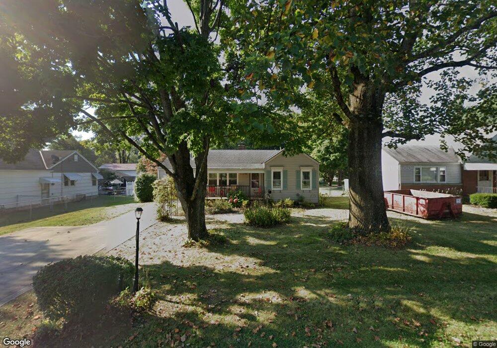
161 Pierson Blvd Newark, OH 43055
Estimated Value: $201,000 - $223,000
2
Beds
2
Baths
866
Sq Ft
$248/Sq Ft
Est. Value
About This Home
This home is located at 161 Pierson Blvd, Newark, OH 43055 and is currently estimated at $214,370, approximately $247 per square foot. 161 Pierson Blvd is a home located in Licking County with nearby schools including John Clem Elementary School, Liberty Middle School, and Newark High School.
Ownership History
Date
Name
Owned For
Owner Type
Purchase Details
Closed on
May 1, 1996
Sold by
Hafler Andrew J
Bought by
Smith Ruth A
Current Estimated Value
Home Financials for this Owner
Home Financials are based on the most recent Mortgage that was taken out on this home.
Original Mortgage
$72,904
Outstanding Balance
$4,101
Interest Rate
7.86%
Mortgage Type
FHA
Estimated Equity
$210,269
Create a Home Valuation Report for This Property
The Home Valuation Report is an in-depth analysis detailing your home's value as well as a comparison with similar homes in the area
Home Values in the Area
Average Home Value in this Area
Purchase History
| Date | Buyer | Sale Price | Title Company |
|---|---|---|---|
| Smith Ruth A | $73,000 | -- |
Source: Public Records
Mortgage History
| Date | Status | Borrower | Loan Amount |
|---|---|---|---|
| Open | Smith Ruth A | $72,904 |
Source: Public Records
Tax History
| Year | Tax Paid | Tax Assessment Tax Assessment Total Assessment is a certain percentage of the fair market value that is determined by local assessors to be the total taxable value of land and additions on the property. | Land | Improvement |
|---|---|---|---|---|
| 2024 | $2,044 | $57,160 | $21,180 | $35,980 |
| 2023 | $3,045 | $57,160 | $21,180 | $35,980 |
| 2022 | $1,694 | $42,210 | $12,460 | $29,750 |
| 2021 | $1,776 | $42,210 | $12,460 | $29,750 |
| 2020 | $1,816 | $42,210 | $12,460 | $29,750 |
| 2019 | $1,580 | $35,350 | $12,460 | $22,890 |
| 2018 | $1,581 | $0 | $0 | $0 |
| 2017 | $1,451 | $0 | $0 | $0 |
| 2016 | $1,357 | $0 | $0 | $0 |
| 2015 | $1,387 | $0 | $0 | $0 |
| 2014 | $1,776 | $0 | $0 | $0 |
| 2013 | $1,354 | $0 | $0 | $0 |
Source: Public Records
Map
Nearby Homes
- 222 Bachmann Ave
- 158 English Ave
- 32 Cottage St
- 731 Grafton Rd
- 189 N Quentin Rd
- 655 Evans St
- 20 Cherry St
- 34 Charles St
- 667 Maple Ave
- 54 E Stevens St
- 567 Kibler Ave
- 11 Waterworks Rd
- 160 E Channel St
- 24 Elizabeth St
- 441 Mount Vernon Rd
- 508 Moull St
- 476 W Shields St
- 584 Moull St Unit A
- 122 W Shields St
- 27 W North St
- 153 Pierson Blvd
- 169 Pierson Blvd
- 145 Pierson Blvd
- 162 Stare Rd
- 170 Stare Rd
- 152 Stare Rd
- 185 Pierson Blvd
- 150 Pierson Blvd
- 160 Pierson Blvd
- 166 Pierson Blvd
- 143 Pierson Blvd
- 176 Stare Rd
- 146 Stare Rd
- 172 Pierson Blvd
- 144 Pierson Blvd
- 176 Pierson Blvd
- 191 Pierson Blvd
- 190 Stare Rd
- 182 Pierson Blvd
- 842 Bachmann Ave
Your Personal Tour Guide
Ask me questions while you tour the home.