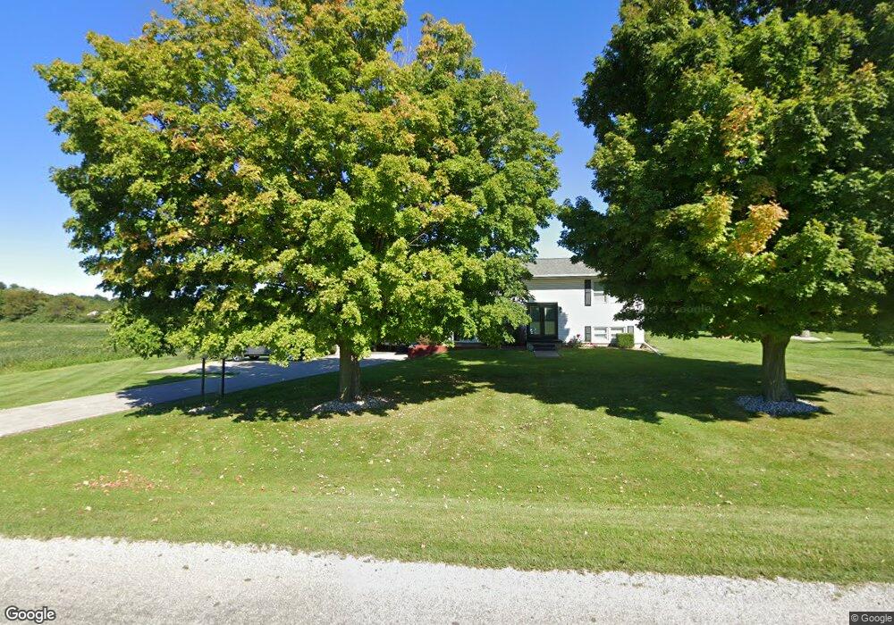
161 Quimby Rd Coldwater, MI 49036
Estimated Value: $267,906 - $338,000
--
Bed
--
Bath
--
Sq Ft
0.61
Acres
About This Home
This home is located at 161 Quimby Rd, Coldwater, MI 49036 and is currently estimated at $289,977. 161 Quimby Rd is a home located in Branch County with nearby schools including Coldwater High School and Branch County Christian School.
Ownership History
Date
Name
Owned For
Owner Type
Purchase Details
Closed on
Sep 6, 2016
Sold by
Deller Ricky Ken and Deller Karen Elaine
Bought by
Cox Quint
Current Estimated Value
Home Financials for this Owner
Home Financials are based on the most recent Mortgage that was taken out on this home.
Original Mortgage
$166,250
Outstanding Balance
$132,794
Interest Rate
3.43%
Mortgage Type
New Conventional
Estimated Equity
$157,183
Purchase Details
Closed on
Sep 13, 2013
Sold by
Deller Ricky Ken
Bought by
Deller Ricky Ken and Deller Karen Elaine
Purchase Details
Closed on
Feb 10, 1998
Sold by
Deller Karen Elaine
Bought by
Deller Ricky Ken
Create a Home Valuation Report for This Property
The Home Valuation Report is an in-depth analysis detailing your home's value as well as a comparison with similar homes in the area
Home Values in the Area
Average Home Value in this Area
Purchase History
| Date | Buyer | Sale Price | Title Company |
|---|---|---|---|
| Cox Quint | $175,000 | Branch County Abstract & Tit | |
| Deller Ricky Ken | -- | None Available | |
| Deller Ricky Ken | -- | -- |
Source: Public Records
Mortgage History
| Date | Status | Borrower | Loan Amount |
|---|---|---|---|
| Open | Cox Quint | $166,250 |
Source: Public Records
Tax History Compared to Growth
Tax History
| Year | Tax Paid | Tax Assessment Tax Assessment Total Assessment is a certain percentage of the fair market value that is determined by local assessors to be the total taxable value of land and additions on the property. | Land | Improvement |
|---|---|---|---|---|
| 2025 | $2,031 | $106,867 | $0 | $0 |
| 2024 | $819 | $102,537 | $0 | $0 |
| 2023 | $745 | $86,910 | $0 | $0 |
| 2022 | $1,858 | $79,749 | $0 | $0 |
| 2021 | $1,097 | $76,638 | $0 | $0 |
| 2020 | $1,097 | $75,359 | $0 | $0 |
| 2019 | -- | $68,876 | $0 | $0 |
| 2018 | -- | $62,989 | $0 | $0 |
| 2017 | -- | $63,028 | $0 | $0 |
| 2016 | -- | $64,124 | $0 | $0 |
| 2015 | -- | $65,333 | $0 | $0 |
| 2014 | -- | $58,319 | $0 | $0 |
| 2013 | -- | $60,351 | $0 | $0 |
Source: Public Records
Map
Nearby Homes
- 727 Skipper Ln
- 757 Lake Shore Point
- 283 S Fremont Rd
- 202 Dons Dr
- 297 Winhoven Dr
- 204 Dons Dr
- 242 Bickford Dr
- 288 S Centennial Rd
- 181 Dons Dr
- 204 Crockett Dr
- 180 Crockett Dr
- 804 Cornell Rd
- 117 Ridge Rd
- 382 W Russell Dr
- 222 Randy Dr
- 586 Schaeffer Dr
- 808 Rolling Meadows Dr
- 0 Brocklebank Rd
- 486 Maple Ln
- 905 Fisher Rd