161 Red Bridge Ellsworth, ME 04605
Estimated Value: $231,630 - $372,000
--
Bed
--
Bath
--
Sq Ft
0.73
Acres
About This Home
This home is located at 161 Red Bridge, Ellsworth, ME 04605 and is currently estimated at $291,158. 161 Red Bridge is a home located in Hancock County with nearby schools including Sumner Memorial High School.
Ownership History
Date
Name
Owned For
Owner Type
Purchase Details
Closed on
Nov 29, 2022
Sold by
Webber Eugene and Edgerly Chanelle
Bought by
Walls Benjamin and Walls Jennifer
Current Estimated Value
Home Financials for this Owner
Home Financials are based on the most recent Mortgage that was taken out on this home.
Original Mortgage
$124,000
Outstanding Balance
$120,331
Interest Rate
6.95%
Mortgage Type
Stand Alone Refi Refinance Of Original Loan
Estimated Equity
$170,827
Purchase Details
Closed on
Jun 3, 2016
Sold by
Bernaquer Ralph and Bernaquer Ralph E
Bought by
Brigadoon 113 Llc
Purchase Details
Closed on
Aug 28, 2015
Sold by
Bernaquer Ralph E
Bought by
Webber Eugene and Edgerly Chanelle
Purchase Details
Closed on
Feb 18, 2005
Sold by
Curtis Jesse L and Curtis Dawn M
Bought by
Bernaquer Ralph E
Create a Home Valuation Report for This Property
The Home Valuation Report is an in-depth analysis detailing your home's value as well as a comparison with similar homes in the area
Home Values in the Area
Average Home Value in this Area
Purchase History
| Date | Buyer | Sale Price | Title Company |
|---|---|---|---|
| Walls Benjamin | -- | None Available | |
| Walls Benjamin | -- | None Available | |
| Walls Benjamin | -- | None Available | |
| Walls Benjamin | -- | None Available | |
| Brigadoon 113 Llc | -- | -- | |
| Brigadoon 113 Llc | -- | -- | |
| Brigadoon 113 Llc | -- | -- | |
| Webber Eugene | -- | -- | |
| Webber Eugene | -- | -- | |
| Webber Eugene | -- | -- | |
| Bernaquer Ralph E | -- | -- | |
| Bernaquer Ralph E | -- | -- |
Source: Public Records
Mortgage History
| Date | Status | Borrower | Loan Amount |
|---|---|---|---|
| Open | Walls Benjamin | $124,000 | |
| Closed | Walls Benjamin | $124,000 |
Source: Public Records
Tax History Compared to Growth
Tax History
| Year | Tax Paid | Tax Assessment Tax Assessment Total Assessment is a certain percentage of the fair market value that is determined by local assessors to be the total taxable value of land and additions on the property. | Land | Improvement |
|---|---|---|---|---|
| 2024 | $2,710 | $155,280 | $17,520 | $137,760 |
| 2023 | $265 | $15,330 | $15,330 | $0 |
| 2022 | $241 | $15,330 | $15,330 | $0 |
| 2021 | $263 | $14,600 | $14,600 | $0 |
| 2020 | $274 | $14,600 | $14,600 | $0 |
| 2019 | $275 | $14,600 | $14,600 | $0 |
| 2018 | $266 | $14,600 | $14,600 | $0 |
| 2017 | $262 | $14,600 | $14,600 | $0 |
| 2016 | $258 | $14,600 | $14,600 | $0 |
| 2015 | $258 | $14,600 | $14,600 | $0 |
| 2014 | $240 | $14,600 | $14,600 | $0 |
| 2012 | $315 | $20,400 | $20,400 | $0 |
Source: Public Records
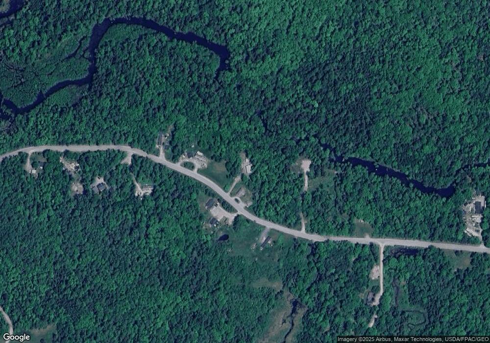
Map
Nearby Homes
- 145 Red Bridge Rd
- 175 Red Bridge Rd
- 132 Red Bridge Rd
- 136 Red Bridge Rd
- #136A Red Bridge
- 113 Red Bridge Rd
- 113 Red Bridge
- 171 Red Bridge Rd
- 180 Red Bridge Rd
- 23 Poors Way
- 24 Poors Way
- 33 Poors Way
- 88 Red Bridge Rd
- 194 Red Bridge Rd
- 82 Red Bridge Rd
- 0 Poors Way
- 83 Red Bridge Rd
- 73 Red Bridge Rd
- 68 Red Bridge Rd