161 Riverside Cir Marshfield, MA 02050
Estimated Value: $1,075,000 - $1,412,000
3
Beds
2
Baths
1,928
Sq Ft
$624/Sq Ft
Est. Value
About This Home
This home is located at 161 Riverside Cir, Marshfield, MA 02050 and is currently estimated at $1,202,845, approximately $623 per square foot. 161 Riverside Cir is a home located in Plymouth County with nearby schools including Martinson Elementary School, Furnace Brook Middle School, and Marshfield High School.
Ownership History
Date
Name
Owned For
Owner Type
Purchase Details
Closed on
Jan 30, 2017
Sold by
Miers G Stephen G and Miers Sandra
Bought by
Miers G Stephen
Current Estimated Value
Home Financials for this Owner
Home Financials are based on the most recent Mortgage that was taken out on this home.
Original Mortgage
$480,000
Outstanding Balance
$364,081
Interest Rate
4.16%
Mortgage Type
New Conventional
Estimated Equity
$838,764
Purchase Details
Closed on
Jul 24, 2009
Sold by
Miers G Stephen G and Miers Diane Marie
Bought by
Miers G Stephen G and Miers Sandra
Purchase Details
Closed on
Mar 17, 2006
Sold by
Cesarini Aldo E and Cesarini Mary J
Bought by
Miers G Stephen
Create a Home Valuation Report for This Property
The Home Valuation Report is an in-depth analysis detailing your home's value as well as a comparison with similar homes in the area
Home Values in the Area
Average Home Value in this Area
Purchase History
| Date | Buyer | Sale Price | Title Company |
|---|---|---|---|
| Miers G Stephen | -- | -- | |
| Miers G Stephen G | $675,000 | -- | |
| Miers G Stephen G | $675,000 | -- | |
| Miers G Stephen | $597,000 | -- | |
| Miers G Stephen | $597,000 | -- |
Source: Public Records
Mortgage History
| Date | Status | Borrower | Loan Amount |
|---|---|---|---|
| Open | Miers G Stephen | $480,000 |
Source: Public Records
Tax History
| Year | Tax Paid | Tax Assessment Tax Assessment Total Assessment is a certain percentage of the fair market value that is determined by local assessors to be the total taxable value of land and additions on the property. | Land | Improvement |
|---|---|---|---|---|
| 2025 | $9,806 | $990,500 | $511,800 | $478,700 |
| 2024 | $9,251 | $890,400 | $457,000 | $433,400 |
| 2023 | $9,086 | $818,200 | $414,300 | $403,900 |
| 2022 | $9,086 | $701,600 | $375,800 | $325,800 |
| 2021 | $8,795 | $666,800 | $365,600 | $301,200 |
| 2020 | $8,815 | $661,300 | $365,600 | $295,700 |
| 2019 | $8,447 | $631,300 | $365,600 | $265,700 |
| 2018 | $7,842 | $586,500 | $329,000 | $257,500 |
| 2017 | $7,919 | $577,200 | $329,000 | $248,200 |
| 2016 | $7,708 | $555,300 | $329,000 | $226,300 |
| 2015 | $7,162 | $538,900 | $329,000 | $209,900 |
| 2014 | $7,062 | $531,400 | $329,000 | $202,400 |
Source: Public Records
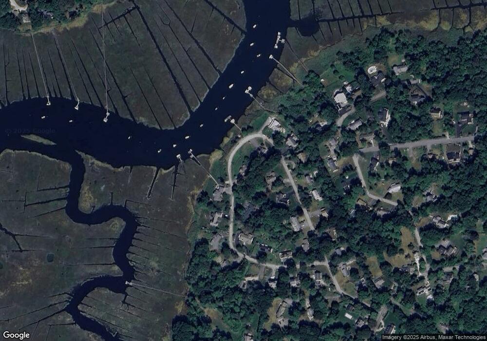
Map
Nearby Homes
- 32 Carolyn Cir
- 95 Stony Brook Ln
- 48 Neal Gate St
- 9 Cushing Park Rd
- 3 Harbor Ln
- 17 Old Oaken Bucket Rd
- 19 Dunster Ln
- 19 Ford Place Unit 1
- 19 Ford Place Unit 2
- 480 Pleasant St
- 94 Old Oaken Bucket Rd
- 55 Macombers Way
- 76 Macombers Way
- 3 Webster Farm Way
- 5 Webster Farm Way
- 25 Webster Farm Way
- 23 Webster Farm Way
- 98 Satuit Trail
- 21 Jenkins Place
- 1 Valley Path
- 111 Riverside Cir
- 91 Riverside Cir
- 139 Riverside Cir
- 144 Riverside Cir
- 75 Riverside Cir
- 164 Riverside Circle-Waterfrt Dock
- 164 Riverside Cir
- 110 Riverside Cir
- 110 Riverside Cir
- 175 Riverside Cir
- 92 Riverside Cir
- 102 Riverside Cir
- 63 Riverside Cir
- 82 Riverside Cir
- 191 Riverside Cir
- 174 Riverside Cir
- 70 Riverside Cir
- 205 Riverside Cir
- 77 Edmund Rd
- 60 Riverside Cir
Your Personal Tour Guide
Ask me questions while you tour the home.