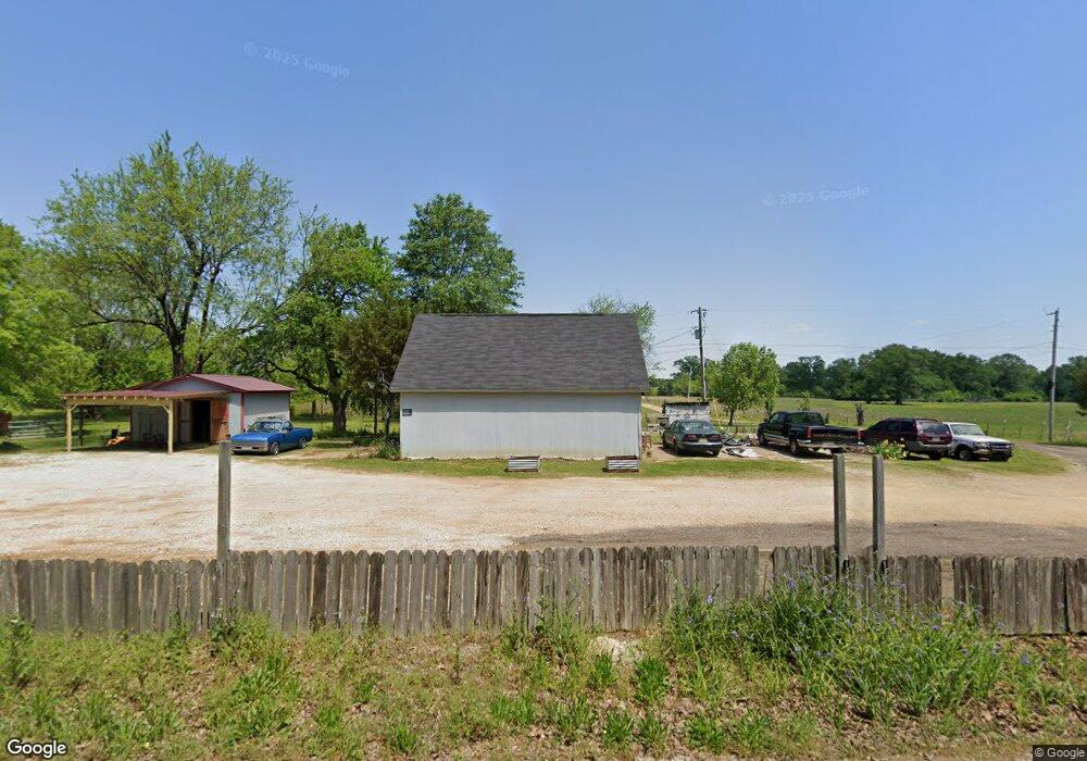
161 Road 151 Tupelo, MI 38801
Estimated Value: $296,918 - $326,000
4
Beds
2
Baths
2,317
Sq Ft
$134/Sq Ft
Est. Value
About This Home
This home is located at 161 Road 151, Tupelo, MI 38801 and is currently estimated at $309,730, approximately $133 per square foot. 161 Road 151 is a home located in Lee County with nearby schools including Parkway Elementary School, Lawndale Elementary School, and Tupelo Middle School.
Ownership History
Date
Name
Owned For
Owner Type
Purchase Details
Closed on
Mar 24, 2020
Bought by
Rayburn Jonathan
Current Estimated Value
Home Financials for this Owner
Home Financials are based on the most recent Mortgage that was taken out on this home.
Original Mortgage
$136,958
Outstanding Balance
$121,610
Interest Rate
3.75%
Mortgage Type
FHA
Estimated Equity
$188,120
Purchase Details
Closed on
Feb 17, 2010
Sold by
Gillentine James
Bought by
Jones Amber
Create a Home Valuation Report for This Property
The Home Valuation Report is an in-depth analysis detailing your home's value as well as a comparison with similar homes in the area
Home Values in the Area
Average Home Value in this Area
Purchase History
| Date | Buyer | Sale Price | Title Company |
|---|---|---|---|
| Rayburn Jonathan | $136,958 | -- | |
| Rayburn Jonathan | -- | None Available | |
| Jones Amber | -- | -- |
Source: Public Records
Mortgage History
| Date | Status | Borrower | Loan Amount |
|---|---|---|---|
| Open | Rayburn Jonathan | $136,958 |
Source: Public Records
Tax History Compared to Growth
Tax History
| Year | Tax Paid | Tax Assessment Tax Assessment Total Assessment is a certain percentage of the fair market value that is determined by local assessors to be the total taxable value of land and additions on the property. | Land | Improvement |
|---|---|---|---|---|
| 2025 | $1,862 | $17,323 | $0 | $0 |
| 2024 | $1,862 | $17,323 | $0 | $0 |
| 2023 | $1,645 | $15,616 | $0 | $0 |
| 2022 | $1,459 | $15,616 | $0 | $0 |
| 2021 | $1,392 | $15,616 | $0 | $0 |
| 2020 | $1,645 | $15,616 | $0 | $0 |
| 2019 | $1,374 | $14,931 | $0 | $0 |
| 2018 | $1,374 | $14,931 | $0 | $0 |
| 2017 | $1,367 | $14,931 | $0 | $0 |
| 2016 | $1,367 | $14,931 | $0 | $0 |
| 2015 | -- | $13,966 | $0 | $0 |
| 2014 | -- | $13,966 | $0 | $0 |
Source: Public Records
Map
Nearby Homes
- 0 Bissell Rd Unit 25-3147
- 163 Road 1046
- 0 Lumpkin & Natchez Trace Pkwy
- 0 (7 Acres) Graham Dr
- 0 Graham Dr Unit 25-471
- 0 Unit 25-2748
- 0 Hwy 6
- 103 High Forest Ln
- 529 Wooten Cove
- 0 W Main St
- 119 High Point Dr
- 22 Coley Rd
- 186 Timberlane Dr
- 0 Mitchell Rd
- 420 Sand Creek Dr
- 199 Silver Tree Crossing
- 0 Cliff Gookin Blvd
- 2 ac Cliff Gookin Blvd
- 1587 Larkspur Cir
- 0 (3 Acres) S Thomas St