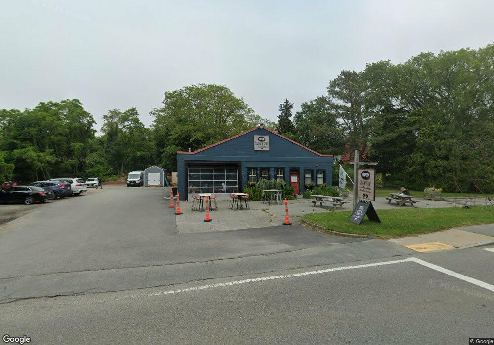
161 Route 6a Sandwich, MA 2563
Estimated Value: $597,027
3
Beds
2
Baths
2,700
Sq Ft
$221/Sq Ft
Est. Value
About This Home
This home is located at 161 Route 6a, Sandwich, MA 2563 and is currently estimated at $597,027, approximately $221 per square foot. 161 Route 6a is a home located in Barnstable County with nearby schools including Sandwich Middle High School, Bridgeview Montessori School, and Riverview School.
Ownership History
Date
Name
Owned For
Owner Type
Purchase Details
Closed on
May 27, 2022
Sold by
161 Route 6A Rt and Rowell
Bought by
Inka Realty Llc
Current Estimated Value
Home Financials for this Owner
Home Financials are based on the most recent Mortgage that was taken out on this home.
Original Mortgage
$275,000
Outstanding Balance
$260,260
Interest Rate
5%
Mortgage Type
Purchase Money Mortgage
Estimated Equity
$336,767
Purchase Details
Closed on
Dec 4, 2017
Sold by
Smoller Donna J and Opacki Paul J
Bought by
161 Route 6A Rt and Rowell
Purchase Details
Closed on
Jan 30, 1998
Sold by
Chaffee Katherine A
Bought by
Opacki Paul
Create a Home Valuation Report for This Property
The Home Valuation Report is an in-depth analysis detailing your home's value as well as a comparison with similar homes in the area
Purchase History
| Date | Buyer | Sale Price | Title Company |
|---|---|---|---|
| Inka Realty Llc | $520,000 | None Available | |
| 161 Route 6A Rt | $372,000 | -- | |
| Opacki Paul | $150,000 | -- |
Source: Public Records
Mortgage History
| Date | Status | Borrower | Loan Amount |
|---|---|---|---|
| Open | Inka Realty Llc | $275,000 | |
| Previous Owner | Opacki Paul | $70,000 |
Source: Public Records
Tax History
| Year | Tax Paid | Tax Assessment Tax Assessment Total Assessment is a certain percentage of the fair market value that is determined by local assessors to be the total taxable value of land and additions on the property. | Land | Improvement |
|---|---|---|---|---|
| 2025 | $5,125 | $484,900 | $246,700 | $238,200 |
| 2024 | $5,100 | $472,200 | $240,500 | $231,700 |
| 2023 | $5,251 | $456,600 | $231,300 | $225,300 |
| 2022 | $5,793 | $440,200 | $222,300 | $217,900 |
| 2021 | $5,529 | $401,500 | $213,800 | $187,700 |
| 2020 | $5,379 | $375,900 | $191,800 | $184,100 |
| 2019 | $5,184 | $362,000 | $186,100 | $175,900 |
| 2018 | $3,370 | $278,200 | $177,100 | $101,100 |
| 2017 | $4,070 | $272,600 | $176,400 | $96,200 |
| 2016 | $3,850 | $266,100 | $167,700 | $98,400 |
| 2015 | $3,658 | $246,800 | $154,600 | $92,200 |
Source: Public Records
Map
Nearby Homes
- 8 Dewey Ave
- 7 Sunrise Ln
- 9 Coach Ln
- 0 Ox Pasture Rd
- 5 Canary St
- 3 Boardwalk Rd
- 132 Main St
- 5 Rockhill Rd
- 2 Rockhill Rd
- 7 Mary Leal Ln
- 6 Burg Ave
- 21 Great Island Rd
- 12 Crowell Rd
- 5 White Cap Path Unit 5
- 1-3 White Cap Path Unit 1&3
- 16 Town Neck Rd
- 114 Salt Marsh Rd
- 14 Freeman Ave
- 12 Freeman Ave
- 4 Freeman Ave