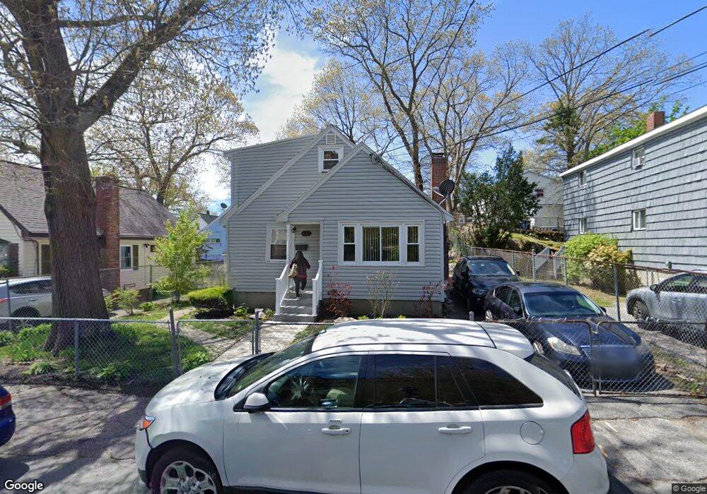
161 Ruskindale Rd Mattapan, MA 02126
Hyde Park NeighborhoodEstimated Value: $551,000 - $640,000
3
Beds
2
Baths
1,312
Sq Ft
$451/Sq Ft
Est. Value
About This Home
This home is located at 161 Ruskindale Rd, Mattapan, MA 02126 and is currently estimated at $591,517, approximately $450 per square foot. 161 Ruskindale Rd is a home located in Suffolk County with nearby schools including KIPP Academy Boston Charter School, Boston Preparatory Charter Public School, and Berea Seventh-day Adventist Academy.
Ownership History
Date
Name
Owned For
Owner Type
Purchase Details
Closed on
Aug 1, 1997
Sold by
Holland Leo D
Bought by
Exavier Lonise
Current Estimated Value
Purchase Details
Closed on
Jun 2, 1993
Sold by
Fhlmc
Bought by
Holland Leo D
Purchase Details
Closed on
Sep 4, 1992
Sold by
Williams Eugene E
Bought by
Fhlmc
Purchase Details
Closed on
Dec 31, 1987
Sold by
Greene Jacqueline I
Bought by
Williams Kevin L
Create a Home Valuation Report for This Property
The Home Valuation Report is an in-depth analysis detailing your home's value as well as a comparison with similar homes in the area
Home Values in the Area
Average Home Value in this Area
Purchase History
| Date | Buyer | Sale Price | Title Company |
|---|---|---|---|
| Exavier Lonise | $90,000 | -- | |
| Holland Leo D | $82,400 | -- | |
| Fhlmc | $133,374 | -- | |
| Williams Kevin L | $138,000 | -- |
Source: Public Records
Mortgage History
| Date | Status | Borrower | Loan Amount |
|---|---|---|---|
| Open | Williams Kevin L | $272,000 | |
| Closed | Williams Kevin L | $225,000 | |
| Closed | Williams Kevin L | $130,000 |
Source: Public Records
Tax History Compared to Growth
Tax History
| Year | Tax Paid | Tax Assessment Tax Assessment Total Assessment is a certain percentage of the fair market value that is determined by local assessors to be the total taxable value of land and additions on the property. | Land | Improvement |
|---|---|---|---|---|
| 2025 | $5,111 | $441,400 | $146,500 | $294,900 |
| 2024 | $4,424 | $405,900 | $137,700 | $268,200 |
| 2023 | $4,036 | $375,800 | $127,500 | $248,300 |
| 2022 | $3,821 | $351,200 | $119,200 | $232,000 |
| 2021 | $3,545 | $332,200 | $114,600 | $217,600 |
| 2020 | $3,158 | $299,100 | $106,300 | $192,800 |
| 2019 | $2,867 | $272,000 | $79,700 | $192,300 |
| 2018 | $2,714 | $259,000 | $79,700 | $179,300 |
| 2017 | $2,517 | $237,700 | $79,700 | $158,000 |
| 2016 | $2,467 | $224,300 | $79,700 | $144,600 |
| 2015 | $2,527 | $208,700 | $81,200 | $127,500 |
| 2014 | $2,427 | $192,900 | $81,200 | $111,700 |
Source: Public Records
Map
Nearby Homes
- 7 Winborough St
- 25 Alpine St Unit 7
- 23 Caton St
- 34 Ridlon Rd
- 90 Hollingsworth St
- 645 River St
- 839-843 Cummins Hwy
- 0 Tina Ave
- 20 Massasoit St
- 42 Osceola St
- 265 Hebron St
- 770 Cummins Hwy Unit 1
- 770 Cummins Hwy Unit 22
- 48-50 Rockdale St
- 10 Brockton St
- 231 Itasca St
- 179 Hebron St
- 112 Brush Hill Rd
- 95 Woodhaven St
- 16 Concord Ave Unit 1
- 157 Ruskindale Rd
- 165 Ruskindale Rd
- 94 Taunton Ave
- 61 Roseberry Rd
- 86 Taunton Ave
- 153 Ruskindale Rd
- 64 Radcliffe Rd
- 56 Roseberry Rd
- 82 Taunton Ave
- 98 Taunton Ave
- 172 Ruskindale Rd
- 176 Ruskindale Rd Unit 1
- 176 Ruskindale Rd Unit 2
- 179 Ruskindale Rd
- 89 Taunton Ave
- 85 Taunton Ave
- 100 Taunton Ave
- 145 Ruskindale Rd
- 76 Radcliffe Rd
- 76 Radcliffe Rd Unit 3