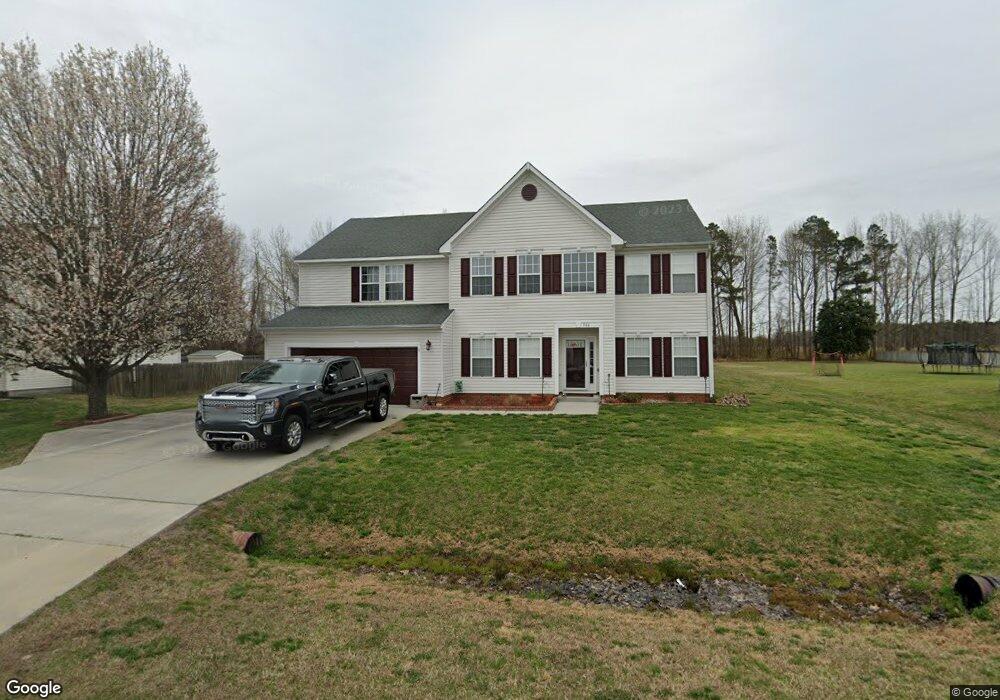
161 Saint Andrews Rd Moyock, NC 27958
Estimated Value: $546,037 - $586,000
5
Beds
3
Baths
3,561
Sq Ft
$158/Sq Ft
Est. Value
About This Home
This home is located at 161 Saint Andrews Rd, Moyock, NC 27958 and is currently estimated at $564,009, approximately $158 per square foot. 161 Saint Andrews Rd is a home located in Currituck County with nearby schools including Moyock Elementary School, Moyock Middle School, and Currituck County High School.
Ownership History
Date
Name
Owned For
Owner Type
Purchase Details
Closed on
Aug 10, 2020
Sold by
Scully Randy L and Scully Joann A
Bought by
Strong Kenneth Robert and Johnson Kelly M
Current Estimated Value
Home Financials for this Owner
Home Financials are based on the most recent Mortgage that was taken out on this home.
Original Mortgage
$404,600
Outstanding Balance
$358,909
Interest Rate
3%
Mortgage Type
VA
Estimated Equity
$205,100
Purchase Details
Closed on
Jul 15, 2002
Bought by
Scully Randy L and Scully Joann A
Create a Home Valuation Report for This Property
The Home Valuation Report is an in-depth analysis detailing your home's value as well as a comparison with similar homes in the area
Home Values in the Area
Average Home Value in this Area
Purchase History
| Date | Buyer | Sale Price | Title Company |
|---|---|---|---|
| Strong Kenneth Robert | $400,000 | None Available | |
| Scully Randy L | $197,600 | -- |
Source: Public Records
Mortgage History
| Date | Status | Borrower | Loan Amount |
|---|---|---|---|
| Open | Strong Kenneth Robert | $404,600 |
Source: Public Records
Tax History Compared to Growth
Tax History
| Year | Tax Paid | Tax Assessment Tax Assessment Total Assessment is a certain percentage of the fair market value that is determined by local assessors to be the total taxable value of land and additions on the property. | Land | Improvement |
|---|---|---|---|---|
| 2024 | $2,778 | $443,900 | $60,400 | $383,500 |
| 2023 | $2,789 | $443,900 | $60,400 | $383,500 |
| 2022 | $2,134 | $443,900 | $60,400 | $383,500 |
| 2021 | $2,126 | $319,700 | $54,900 | $264,800 |
| 2020 | $1,691 | $319,700 | $54,900 | $264,800 |
| 2019 | $1,691 | $319,700 | $54,900 | $264,800 |
| 2018 | $1,693 | $319,700 | $54,900 | $264,800 |
| 2017 | $1,663 | $319,700 | $54,900 | $264,800 |
| 2016 | $1,637 | $314,000 | $54,900 | $259,100 |
| 2015 | $1,638 | $314,000 | $54,900 | $259,100 |
Source: Public Records
Map
Nearby Homes
- 163 Saint Andrews Rd
- 193 Saint Andrews Rd
- 182 Eagle Creek Rd
- 101 Claire Ct
- 324 Sunny Lake Rd Unit Lot 41
- 324 Sunny Lake Rd
- 306 Sunny Lake Rd
- 306 Sunny Lake Rd Unit Lot 50
- 204 Leif St
- 216 Leif St
- 214 Leif St
- 201 Leif St
- 001 W Ryker Rd
- 01 W Ryker Rd
- 120 Ryker Rd W
- 102 Ryker Rd W
- 0001 W Ryker Rd
- 307 Iris Cir Unit Lot 123
- 307 Iris Cir
- 309 Iris Cir Unit Lot 124
- 161 St Andrews Rd
- 163 St Andrews Rd
- 159 Saint Andrews Rd
- 158 Saint Andrews Rd
- 156 Saint Andrews Rd
- 160 Saint Andrews Rd
- 157 Saint Andrews Rd
- 165 Saint Andrews Rd
- 162 Saint Andrews Rd Unit 75
- 162 St Andrews Rd
- 162 Saint Andrews Rd
- 167 Saint Andrews Rd
- 154 Saint Andrews Rd
- 155 St Andrews
- 155 Saint Andrews Rd
- 152 Saint Andrews Rd
- 169 Saint Andrews Rd
- 164 Saint Andrews Rd
- 164 St Andrews Rd
- 171 Saint Andrews Rd