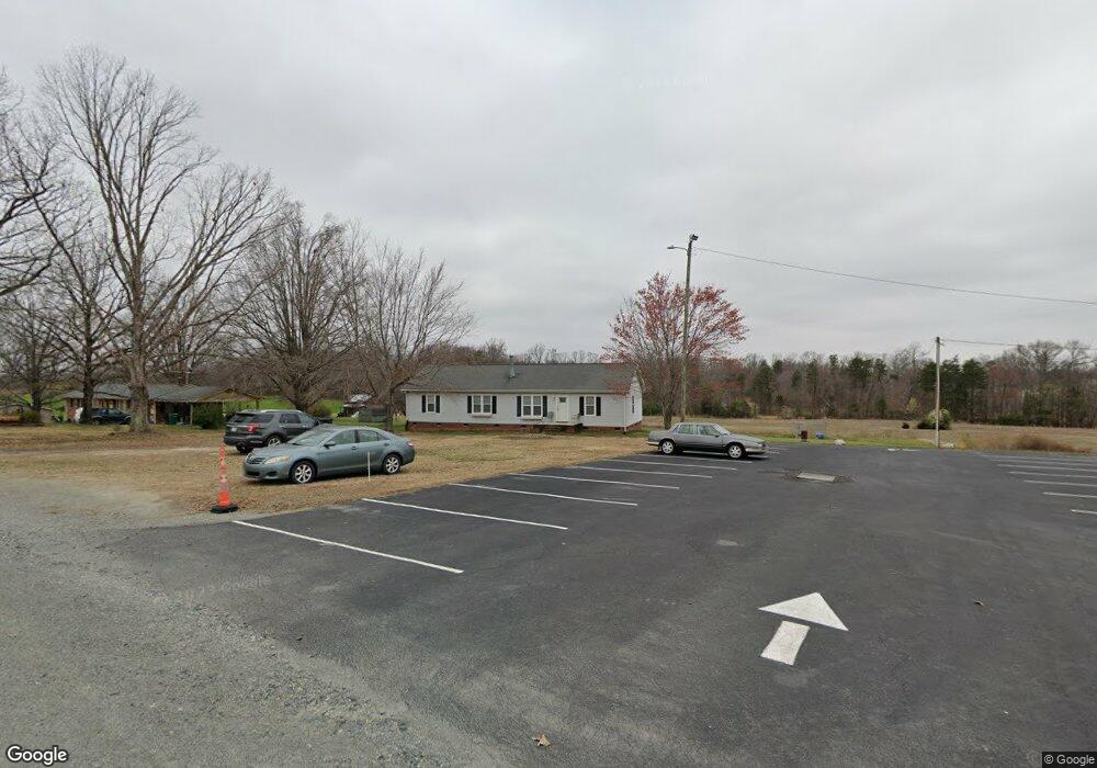
161 St Mariah Rd Reidsville, NC 27320
Estimated Value: $237,000 - $365,000
3
Beds
2
Baths
1,728
Sq Ft
$174/Sq Ft
Est. Value
About This Home
This home is located at 161 St Mariah Rd, Reidsville, NC 27320 and is currently estimated at $301,000, approximately $174 per square foot. 161 St Mariah Rd is a home located in Rockingham County with nearby schools including Monroeton Elementary School, Rockingham County Middle School, and Rockingham County High School.
Ownership History
Date
Name
Owned For
Owner Type
Purchase Details
Closed on
Nov 11, 2005
Sold by
Taylor Latoya and Taylor Eugene A
Bought by
Taylor Latoya T and Taylor Eugene A
Current Estimated Value
Home Financials for this Owner
Home Financials are based on the most recent Mortgage that was taken out on this home.
Original Mortgage
$105,000
Interest Rate
7.62%
Mortgage Type
Adjustable Rate Mortgage/ARM
Create a Home Valuation Report for This Property
The Home Valuation Report is an in-depth analysis detailing your home's value as well as a comparison with similar homes in the area
Home Values in the Area
Average Home Value in this Area
Purchase History
| Date | Buyer | Sale Price | Title Company |
|---|---|---|---|
| Taylor Latoya T | -- | None Available |
Source: Public Records
Mortgage History
| Date | Status | Borrower | Loan Amount |
|---|---|---|---|
| Closed | Taylor Latoya T | $105,000 |
Source: Public Records
Tax History Compared to Growth
Tax History
| Year | Tax Paid | Tax Assessment Tax Assessment Total Assessment is a certain percentage of the fair market value that is determined by local assessors to be the total taxable value of land and additions on the property. | Land | Improvement |
|---|---|---|---|---|
| 2025 | $1,589 | $247,196 | $21,600 | $225,596 |
| 2024 | $1,589 | $247,196 | $21,600 | $225,596 |
| 2023 | $1,589 | $140,223 | $13,392 | $126,831 |
| 2022 | $1,101 | $140,223 | $13,392 | $126,831 |
| 2021 | $1,101 | $140,223 | $13,392 | $126,831 |
| 2020 | $1,101 | $140,223 | $13,392 | $126,831 |
| 2019 | $1,101 | $140,223 | $13,392 | $126,831 |
| 2018 | $1,011 | $128,644 | $21,880 | $106,764 |
| 2017 | $1,011 | $128,644 | $21,880 | $106,764 |
| 2015 | $1,021 | $128,644 | $21,880 | $106,764 |
| 2014 | $1,011 | $128,644 | $21,880 | $106,764 |
Source: Public Records
Map
Nearby Homes
- 2041 Sandy Cross Rd
- 0 Jones Chapel Rd
- 1731 Sandy Cross Rd
- 309 Vernon Rd
- 387 Vernon Rd
- 00 Rock Spring Dr
- 0 Boyd Rd
- 64.88 Ac Purcell Rd
- 00 Almond Rd
- 214 Lake Hunt Dr
- 744 Monroeton Rd
- 3447 Country Ln
- 3437 Country Ln
- 4830 Nc Highway 65
- Parcel C Iron Works Rd
- 170 Link Rd
- 171 Roberson Ln
- 00 Roberson Ln
- 135 Roberson Ln
- 3830 Vance Street Extension
- 139 St Mariah Rd
- 181 St Mariah Rd
- 2231 Sandy Cross Rd
- 2071 Sandy Cross Rd
- 2322 Sandy Cross Rd
- 139 Pastaycoo Trail
- 250 Steamboat Dr
- 1981 Sandy Cross Rd
- 230 Steamboat Dr
- 200 Steamboat Dr
- 180 Steamboat Dr
- 282 Steamboat Dr
- 0 Steamboat Dr
- 150 Steamboat Dr
- 265 Steamboat Dr
- 125 Vail Dr
- 245 Steamboat Dr
- 175 Steamboat Dr
- 301 Steamboat Dr
- 135 Steamboat Dr