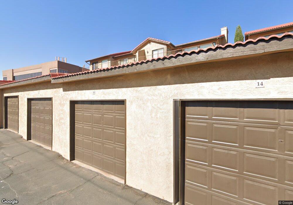
161 W 950 S Unit C9 Saint George, UT 84770
Estimated Value: $193,427 - $296,000
2
Beds
2
Baths
1,003
Sq Ft
$229/Sq Ft
Est. Value
About This Home
This home is located at 161 W 950 S Unit C9, Saint George, UT 84770 and is currently estimated at $229,607, approximately $228 per square foot. 161 W 950 S Unit C9 is a home located in Washington County with nearby schools including Heritage School, Dixie Middle School, and Dixie Intermediate School.
Ownership History
Date
Name
Owned For
Owner Type
Purchase Details
Closed on
Dec 15, 2020
Sold by
Schmutz Jeffrey Daniel and Bailey Terrillee
Bought by
Schmutz Jeffrey D
Current Estimated Value
Purchase Details
Closed on
Jan 5, 2016
Sold by
Cornelius Bill and Cornelius Marjk
Bought by
Schmutz D E and Schmutz Family Trust
Purchase Details
Closed on
Nov 1, 2012
Sold by
Cannon Schmutz Bette C
Bought by
Cornelius Bill and Cornelius Marj
Home Financials for this Owner
Home Financials are based on the most recent Mortgage that was taken out on this home.
Original Mortgage
$35,000
Interest Rate
3.43%
Mortgage Type
Unknown
Purchase Details
Closed on
Jul 18, 2011
Sold by
S&B Properties Llc
Bought by
Schmutz Bette C Cannon and Wilford W & Bette C Cannon Family Revoca
Purchase Details
Closed on
Dec 7, 2006
Sold by
Watkins Sherry and Wright Sherry
Bought by
S&B Properties Llc
Create a Home Valuation Report for This Property
The Home Valuation Report is an in-depth analysis detailing your home's value as well as a comparison with similar homes in the area
Home Values in the Area
Average Home Value in this Area
Purchase History
| Date | Buyer | Sale Price | Title Company |
|---|---|---|---|
| Schmutz Jeffrey D | -- | None Available | |
| Schmutz D E | -- | Southern Utah Title | |
| Cornelius Bill | -- | Southern Utah Title | |
| Schmutz Bette C Cannon | -- | Southern Utah Title | |
| S&B Properties Llc | -- | First American Title Southto |
Source: Public Records
Mortgage History
| Date | Status | Borrower | Loan Amount |
|---|---|---|---|
| Previous Owner | Cornelius Bill | $35,000 |
Source: Public Records
Tax History Compared to Growth
Tax History
| Year | Tax Paid | Tax Assessment Tax Assessment Total Assessment is a certain percentage of the fair market value that is determined by local assessors to be the total taxable value of land and additions on the property. | Land | Improvement |
|---|---|---|---|---|
| 2025 | $722 | $105,985 | $27,500 | $78,485 |
| 2023 | $716 | $107,030 | $27,500 | $79,530 |
| 2022 | $1,522 | $213,900 | $50,000 | $163,900 |
| 2021 | $1,080 | $124,500 | $35,000 | $89,500 |
| 2020 | $1,084 | $117,700 | $35,000 | $82,700 |
| 2019 | $980 | $103,900 | $30,000 | $73,900 |
| 2018 | $890 | $86,000 | $0 | $0 |
| 2017 | $722 | $69,800 | $0 | $0 |
| 2016 | $365 | $32,615 | $0 | $0 |
| 2015 | $345 | $29,590 | $0 | $0 |
| 2014 | $266 | $22,935 | $0 | $0 |
Source: Public Records
Map
Nearby Homes
- 161 W 950 S Unit W2
- 800 W Bluff St S
- 840 S 400 E Unit 58
- 840 S 400 E Unit 62
- 840 S 400 E Unit 5
- 840 S 400 E Unit 5
- 544 S 100 W Unit 3
- 441 Sunland Dr Unit 25
- 470 E 1100 S Unit 3
- 524 S 200 E Unit 3
- 524 S 200 E Unit 17
- 0 Walker Way
- 0 Walker Way Lots 320-321 Unit 25-258921
- 480 S 200 W Unit 25
- 480 S 200 W Unit 25
- 550 S 200 E
- 550 S 200 E Unit 7
- 425 E 900 S Unit 449
- 777 S 400 E Unit 45
- 0 Eleanor Cove Lots 702-704
- 161 W 950 S Unit X1
- 161 W 950 S Unit E8
- 161 W 950 S Unit E5
- 161 W 950 S Unit E4
- 161 W 950 S Unit E3
- 161 W 950 S Unit E2
- 161 W 950 S Unit E12
- 161 W 950 S Unit E11
- 161 W 950 S Unit E10
- 161 W 950 S Unit E1
- 161 W 950 S Unit D8
- 161 W 950 S Unit D7
- 161 W 950 S Unit D6
- 161 W 950 S Unit D5
- 161 W 950 S Unit D4
- 161 W 950 S Unit D3
- 161 W 950 S Unit D2
- 161 W 950 S Unit D1
- 161 W 950 S Unit C8
- 161 W 950 S Unit C7