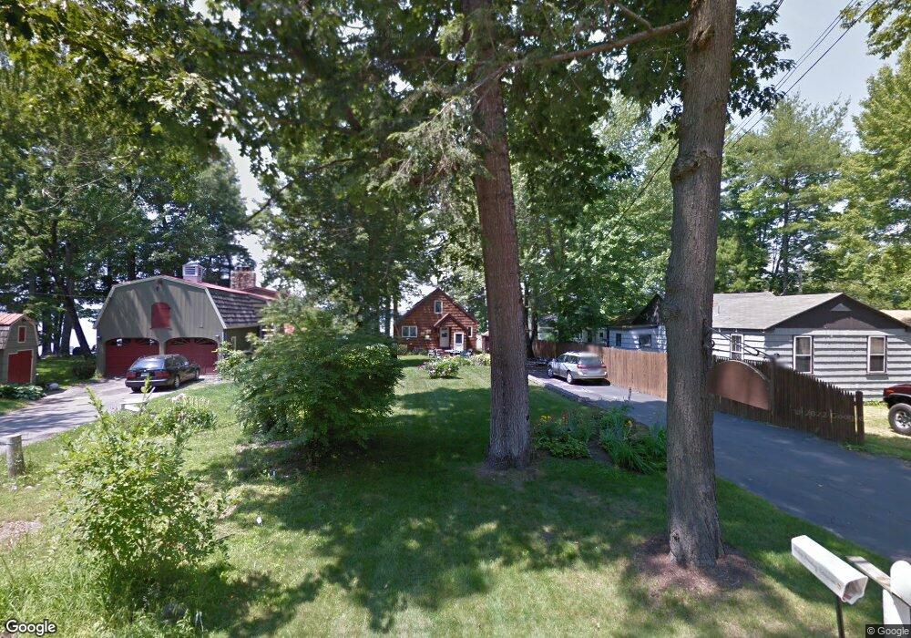
161 Whites Point Rd Standish, ME 04084
North Gorham NeighborhoodEstimated Value: $994,000 - $1,584,000
2
Beds
2
Baths
1,638
Sq Ft
$771/Sq Ft
Est. Value
About This Home
This home is located at 161 Whites Point Rd, Standish, ME 04084 and is currently estimated at $1,263,644, approximately $771 per square foot. 161 Whites Point Rd is a home located in Cumberland County with nearby schools including Bonny Eagle High School and Windham Christian Academy.
Ownership History
Date
Name
Owned For
Owner Type
Purchase Details
Closed on
Jan 5, 2024
Sold by
Cynthia A Fullerton Lt and Fullerton
Bought by
Fullerton Cynthia A
Current Estimated Value
Purchase Details
Closed on
Sep 16, 2014
Sold by
Fullerton Cynthia A
Bought by
Cynthia A Fullerton Lt and Fullerton
Create a Home Valuation Report for This Property
The Home Valuation Report is an in-depth analysis detailing your home's value as well as a comparison with similar homes in the area
Home Values in the Area
Average Home Value in this Area
Purchase History
| Date | Buyer | Sale Price | Title Company |
|---|---|---|---|
| Fullerton Cynthia A | -- | None Available | |
| Cynthia A Fullerton Lt | -- | -- |
Source: Public Records
Tax History Compared to Growth
Tax History
| Year | Tax Paid | Tax Assessment Tax Assessment Total Assessment is a certain percentage of the fair market value that is determined by local assessors to be the total taxable value of land and additions on the property. | Land | Improvement |
|---|---|---|---|---|
| 2024 | $10,542 | $836,700 | $671,800 | $164,900 |
| 2023 | $8,480 | $612,300 | $509,900 | $102,400 |
| 2022 | $7,739 | $535,600 | $442,800 | $92,800 |
| 2021 | $6,989 | $490,900 | $402,400 | $88,500 |
| 2019 | $6,887 | $481,600 | $396,400 | $85,200 |
| 2018 | $6,529 | $469,700 | $384,500 | $85,200 |
| 2017 | $8,996 | $469,700 | $384,500 | $85,200 |
| 2016 | $6,022 | $469,700 | $384,500 | $85,200 |
| 2015 | $6,007 | $469,700 | $384,500 | $85,200 |
| 2013 | -- | $469,700 | $384,500 | $85,200 |
Source: Public Records
Map
Nearby Homes
- 72 Sand Beach Rd
- 41 Shaw Acres Rd
- 194 Hearthside Rd
- 3 Shamrock Ln
- 109 Wild Acres Rd
- 351 Whites Bridge Rd
- 136 Mineral Spring Rd
- 7 Papoose Island Rd
- 59 Wild Acres Rd
- 11 Oxford Rd
- 103 Basin Rd
- 34 Stoneridge Dr
- 36 Whites Bridge Rd Unit 8
- 34 Trails End Rd
- 25 Birch Forest Dr
- Lot #1 Chamberlain Dr
- 60 Ridge Rd
- 1083 Roosevelt Trail
- lot #8 Bedrock Terrace
- 138 Anglers Rd
- 153 Whites Point Rd
- 157 Whites Point Rd
- 163 Whites Point Rd
- 149 & 154 Whites Point Rd
- 159 Whites Point Rd
- 159A Whites Point Rd
- 145 Whites Point Rd
- 149 Whites Point Rd
- 166 Whites Point Rd
- 175 Whites Point Rd
- 167 Whites Point Rd
- 139 Whites Point Rd
- 169 Whites Point Rd
- 171 Whites Point Rd
- 137 Whites Point Rd
- 173 Whites Point Rd
- 133 Whites Point Rd
- 179 Whites Point Rd
- 184 Whites Point Rd
- 127 Whites Point Rd