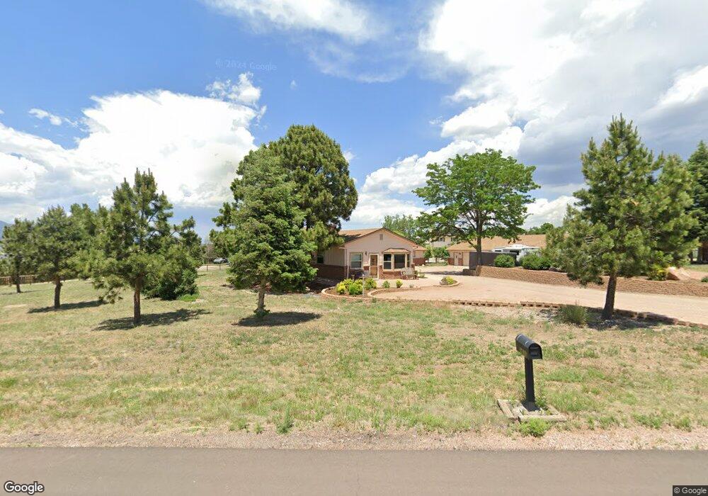
1610 Cragin Rd Colorado Springs, CO 80920
Falcon Estates NeighborhoodEstimated Value: $749,000 - $790,000
4
Beds
3
Baths
2,065
Sq Ft
$373/Sq Ft
Est. Value
About This Home
This home is located at 1610 Cragin Rd, Colorado Springs, CO 80920 and is currently estimated at $770,443, approximately $373 per square foot. 1610 Cragin Rd is a home located in El Paso County with nearby schools including Pioneer Elementary School, Mountain Ridge Middle School, and Rampart High School.
Ownership History
Date
Name
Owned For
Owner Type
Purchase Details
Closed on
Apr 13, 2017
Sold by
Pixley Cheryl L
Bought by
Case Michael W
Current Estimated Value
Home Financials for this Owner
Home Financials are based on the most recent Mortgage that was taken out on this home.
Original Mortgage
$209,000
Outstanding Balance
$173,393
Interest Rate
4.1%
Mortgage Type
New Conventional
Estimated Equity
$597,050
Create a Home Valuation Report for This Property
The Home Valuation Report is an in-depth analysis detailing your home's value as well as a comparison with similar homes in the area
Home Values in the Area
Average Home Value in this Area
Purchase History
| Date | Buyer | Sale Price | Title Company |
|---|---|---|---|
| Case Michael W | $439,000 | Land Title Gurantee Co |
Source: Public Records
Mortgage History
| Date | Status | Borrower | Loan Amount |
|---|---|---|---|
| Open | Case Michael W | $209,000 |
Source: Public Records
Tax History Compared to Growth
Tax History
| Year | Tax Paid | Tax Assessment Tax Assessment Total Assessment is a certain percentage of the fair market value that is determined by local assessors to be the total taxable value of land and additions on the property. | Land | Improvement |
|---|---|---|---|---|
| 2025 | $2,921 | $46,720 | -- | -- |
| 2024 | $2,914 | $52,380 | $8,860 | $43,520 |
| 2023 | $2,914 | $52,380 | $8,860 | $43,520 |
| 2022 | $2,844 | $42,980 | $7,350 | $35,630 |
| 2021 | $3,160 | $44,220 | $7,560 | $36,660 |
| 2020 | $2,721 | $35,350 | $6,580 | $28,770 |
| 2019 | $2,692 | $35,350 | $6,580 | $28,770 |
| 2018 | $2,309 | $29,790 | $5,760 | $24,030 |
| 2017 | $2,300 | $29,790 | $5,760 | $24,030 |
| 2016 | $1,753 | $30,630 | $6,370 | $24,260 |
| 2015 | $1,749 | $30,630 | $6,370 | $24,260 |
| 2014 | $1,517 | $27,600 | $5,970 | $21,630 |
Source: Public Records
Map
Nearby Homes
- 1880 Independence Dr
- 1907 Independence Dr
- 1884 Fuller Rd
- 7424 Bell Dr
- 7191 Ross Dr
- 2110 Whitehorn Dr N
- 1932 Silkwood Dr
- 2068 Silkwood Dr
- 7137 Murdoch Dr
- 1275 Berglind Rd
- 1160 Berglind Rd
- 2006 Summerset Dr
- 2114 Summerset Dr
- 1510 York Rd Unit 101
- 1871 Brookwood Dr
- 8161 Regiment Ct
- 866 Venhorst Rd
- 2650 Bannister Ct
- 1263 York Rd
- 6699 Bethesda Point Unit B
- 1590 Cragin Rd
- 1620 Cragin Rd
- 7604 Grashio Dr
- 1593 Cragin Rd
- 1577 Turner Rd
- 1643 Cragin Rd
- 1547 Turner Rd
- 1633 Cragin Rd
- 7620 Grashio Dr
- 1663 Cragin Rd
- 1533 Cragin Rd
- 1607 Turner Rd
- 1563 Cragin Rd
- 7636 Grashio Dr
- 1517 Turner Rd
- 1865 Chapel Hills Dr
- 1871 Chapel Hills Dr
- 1859 Chapel Hills Dr
- 1602 Fuller Rd
- 1503 Cragin Rd