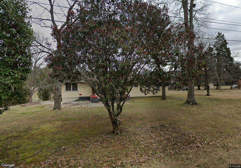
1610 Deep River Rd High Point, NC 27265
Greater High Point NeighborhoodEstimated Value: $242,000 - $346,000
4
Beds
2
Baths
1,632
Sq Ft
$185/Sq Ft
Est. Value
About This Home
This home is located at 1610 Deep River Rd, High Point, NC 27265 and is currently estimated at $301,600, approximately $184 per square foot. 1610 Deep River Rd is a home located in Guilford County with nearby schools including Montlieu Academy of Technology, Welborn Academy of Science & Technology, and T.W. Andrews High School.
Ownership History
Date
Name
Owned For
Owner Type
Purchase Details
Closed on
May 7, 1997
Sold by
Langford Charles P
Bought by
Blackwell James A and Blackwell Shirley A
Current Estimated Value
Home Financials for this Owner
Home Financials are based on the most recent Mortgage that was taken out on this home.
Original Mortgage
$19,500
Interest Rate
6.71%
Purchase Details
Closed on
Oct 13, 1987
Bought by
Blackwell James A
Create a Home Valuation Report for This Property
The Home Valuation Report is an in-depth analysis detailing your home's value as well as a comparison with similar homes in the area
Home Values in the Area
Average Home Value in this Area
Purchase History
| Date | Buyer | Sale Price | Title Company |
|---|---|---|---|
| Blackwell James A | $19,500 | -- | |
| Blackwell James A | $63,000 | -- |
Source: Public Records
Mortgage History
| Date | Status | Borrower | Loan Amount |
|---|---|---|---|
| Previous Owner | Blackwell James A | $19,500 |
Source: Public Records
Tax History
| Year | Tax Paid | Tax Assessment Tax Assessment Total Assessment is a certain percentage of the fair market value that is determined by local assessors to be the total taxable value of land and additions on the property. | Land | Improvement |
|---|---|---|---|---|
| 2025 | $1,727 | $125,300 | $24,000 | $101,300 |
| 2024 | $1,727 | $125,300 | $24,000 | $101,300 |
| 2023 | $1,727 | $125,300 | $24,000 | $101,300 |
| 2022 | $1,689 | $125,300 | $24,000 | $101,300 |
| 2021 | $1,266 | $91,900 | $15,000 | $76,900 |
| 2020 | $1,266 | $91,900 | $15,000 | $76,900 |
| 2019 | $1,266 | $91,900 | $0 | $0 |
| 2018 | $1,260 | $91,900 | $0 | $0 |
| 2017 | $1,260 | $91,900 | $0 | $0 |
| 2016 | $1,067 | $76,100 | $0 | $0 |
| 2015 | $1,073 | $76,100 | $0 | $0 |
| 2014 | $1,091 | $76,100 | $0 | $0 |
Source: Public Records
Map
Nearby Homes
- 2429 Dukes Hollow Ct
- 211 Spencer St
- 2101 Arbrook Ln
- 1746 Stoneybrook Dr
- 600 Greensboro Rd
- 1711 Hanover Ct
- 3100 Stratford Ct
- 2622 Woodruff Ave
- 2507 Suffolk Ave
- 2007 Carlisle Way
- 2700 Edenridge Dr
- 2005 Carlisle Way
- 2511 Copperleaf Ct
- 1706 Lazy Ln
- 2706 Edenridge Dr
- 2674 Splitbrooke Dr
- 2507 E Lexington Ave
- 1227 Greensboro Rd
- 2606 Wexford Place
- 2300 Gordon Rd
- 1606 Deep River Rd
- 1626 Audubon St
- 1624 Audubon St
- 1622 Audubon St
- 1620 Audubon St
- 1604 Deep River Rd
- 1700 Deep River Rd
- 1602 Deep River Rd
- 1716 Deep River Rd
- 1520 Deep River Rd
- 2044 Waterstone Ln
- 309 Summit Rd
- 2042 Waterstone Ln
- 307 Marsden Rd
- 2040 Waterstone Ln
- 2038 Waterstone Ln
- 2045 Waterstone Ln
- 2036 Waterstone Ln
- 3404 Haleys Way
- 306 Summit Rd