1610 Harmon Cove Tower Unit 161 Secaucus, NJ 07094
Estimated Value: $391,000 - $453,000
2
Beds
2
Baths
1,504
Sq Ft
$286/Sq Ft
Est. Value
About This Home
This home is located at 1610 Harmon Cove Tower Unit 161, Secaucus, NJ 07094 and is currently estimated at $429,562, approximately $285 per square foot. 1610 Harmon Cove Tower Unit 161 is a home located in Hudson County with nearby schools including Secaucus High School and The Meadows School.
Ownership History
Date
Name
Owned For
Owner Type
Purchase Details
Closed on
Mar 7, 2017
Sold by
Rourke James J O and Carlson Donna E
Bought by
Sadana Nishith and Negi Poonam
Current Estimated Value
Home Financials for this Owner
Home Financials are based on the most recent Mortgage that was taken out on this home.
Original Mortgage
$378,000
Interest Rate
4.21%
Mortgage Type
New Conventional
Purchase Details
Closed on
Jun 13, 2002
Sold by
Gaver Dean A
Bought by
Orourke James J and Carlson Donna E
Home Financials for this Owner
Home Financials are based on the most recent Mortgage that was taken out on this home.
Original Mortgage
$218,800
Interest Rate
6.79%
Mortgage Type
Purchase Money Mortgage
Purchase Details
Closed on
Jun 29, 2000
Sold by
Lieberman Leonard and Lieberman Arlene
Bought by
Gaver James
Create a Home Valuation Report for This Property
The Home Valuation Report is an in-depth analysis detailing your home's value as well as a comparison with similar homes in the area
Home Values in the Area
Average Home Value in this Area
Purchase History
| Date | Buyer | Sale Price | Title Company |
|---|---|---|---|
| Sadana Nishith | $420,000 | Chicago Title Insurance Co | |
| Orourke James J | $273,500 | Chicago Title Insurance Co | |
| Gaver James | $220,000 | Lawyers Title Insurance Corp |
Source: Public Records
Mortgage History
| Date | Status | Borrower | Loan Amount |
|---|---|---|---|
| Previous Owner | Sadana Nishith | $378,000 | |
| Previous Owner | Orourke James J | $218,800 |
Source: Public Records
Tax History Compared to Growth
Tax History
| Year | Tax Paid | Tax Assessment Tax Assessment Total Assessment is a certain percentage of the fair market value that is determined by local assessors to be the total taxable value of land and additions on the property. | Land | Improvement |
|---|---|---|---|---|
| 2025 | $6,416 | $156,800 | $35,300 | $121,500 |
| 2024 | $6,223 | $156,800 | $35,300 | $121,500 |
| 2023 | $6,223 | $156,800 | $35,300 | $121,500 |
| 2022 | $5,900 | $156,800 | $35,300 | $121,500 |
| 2021 | $5,911 | $156,800 | $35,300 | $121,500 |
| 2020 | $5,858 | $156,800 | $35,300 | $121,500 |
| 2019 | $5,820 | $156,800 | $35,300 | $121,500 |
| 2018 | $5,660 | $156,800 | $35,300 | $121,500 |
| 2017 | $5,667 | $156,800 | $35,300 | $121,500 |
| 2016 | $5,813 | $156,800 | $35,300 | $121,500 |
| 2015 | $5,805 | $156,800 | $35,300 | $121,500 |
| 2014 | $5,905 | $156,800 | $35,300 | $121,500 |
Source: Public Records
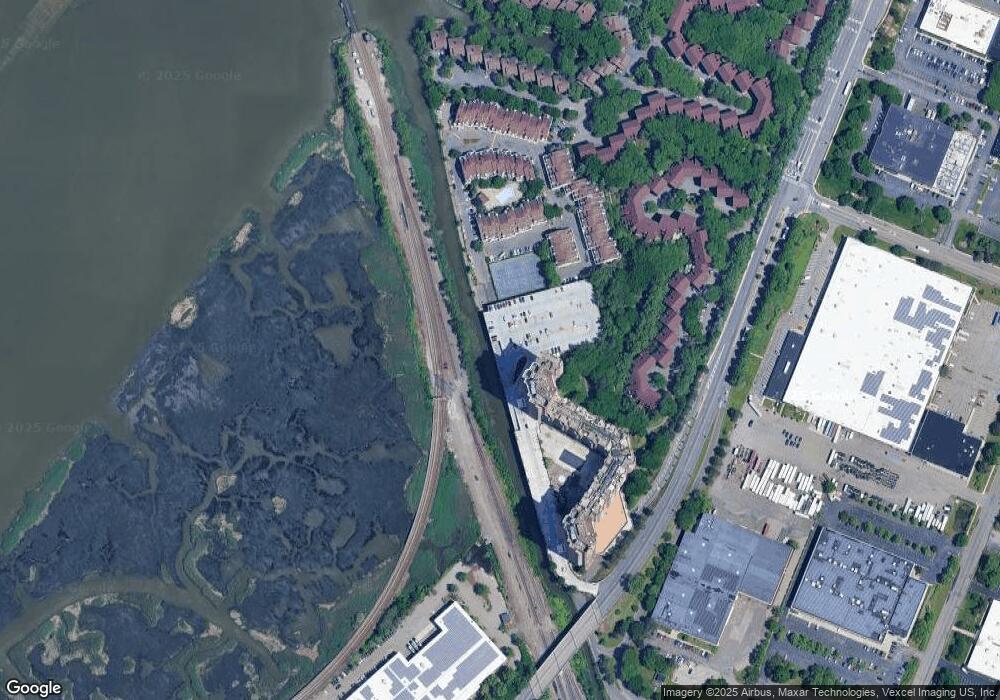
Map
Nearby Homes
- 2005 Harmon Cove Tower Unit 2005
- 2006 Harmon Cove Tower
- 1705 Harmon Cove Tower Unit 1705
- 426 Harmon Cove Tower Unit 426
- 401 Harmon Cove Tower Unit 401
- 414 Harmon Cove Tower
- 2110 Harmon Cove Tower Unit 2110
- 429 Harmon Cove Tower
- 427 Harmon Cove Tower
- 726 Mainsail Ln Unit E9C
- 726 Mainsail Ln Unit Mainsail Lane
- 570 Sanderling Ct Unit 570
- 186 Sandcastle Key
- 2508 Harmon Cove Tower
- 24 Marina Key Unit 24
- 74 Harbor Key Unit 74
- 6 Walter Place
- 725 4th St
- 697 1st St
- 774 8th St
- 1703 Harmon Cove Tower Unit 1703
- 1512 Harmon Cove Tower Unit 1512
- 1506 Harmon Cove Tower
- 1504 Harmon Cove Tower Unit 1504
- 1606 Harmon Cove Tower Unit 1606
- 1603 Harmon Cove Tower Unit 1603
- 1701 Harmon Cove Tower Unit 1701
- 1601 Harmon Cove Tower Unit 1601
- 1702 Harmon Cove Tower Unit 1702
- 1708 Harmon Cove Tower Unit 1708
- 1508 Harmon Cove Tower Unit 1508
- 1710 Harmon Cove Tower
- 1505 Harmon Cove Tower Unit 1505
- 1604 Harmon Cove Tower
- 1510 Harmon Cove Tower
- 1507 Harmon Cove Tower
- 2001 Harmon Cove Tower Unit 2001
- 1832 Harmon Cove Tower Unit 1832
- 1940 Harmon Cove Tower Unit 1940
- 2010 Harmon Cove Tower Unit 2010