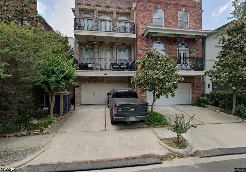
1610 Mcduffie St Houston, TX 77019
Montrose NeighborhoodEstimated Value: $778,893 - $927,000
4
Beds
4
Baths
2,950
Sq Ft
$279/Sq Ft
Est. Value
About This Home
This home is located at 1610 Mcduffie St, Houston, TX 77019 and is currently estimated at $823,973, approximately $279 per square foot. 1610 Mcduffie St is a home located in Harris County with nearby schools including Baker Montessori, Lanier Middle School, and Lamar High School.
Ownership History
Date
Name
Owned For
Owner Type
Purchase Details
Closed on
Dec 23, 2003
Sold by
Stanley Joseph M and Stanley Edna E
Bought by
Starley Rulon James and Starley Maria Vittoria
Current Estimated Value
Purchase Details
Closed on
Dec 6, 1999
Sold by
Vela Mark Alan
Bought by
Millis Development & Construction Inc
Create a Home Valuation Report for This Property
The Home Valuation Report is an in-depth analysis detailing your home's value as well as a comparison with similar homes in the area
Home Values in the Area
Average Home Value in this Area
Purchase History
| Date | Buyer | Sale Price | Title Company |
|---|---|---|---|
| Starley Rulon James | -- | Charter Title Company | |
| Millis Development & Construction Inc | -- | Charter Title Company |
Source: Public Records
Tax History Compared to Growth
Tax History
| Year | Tax Paid | Tax Assessment Tax Assessment Total Assessment is a certain percentage of the fair market value that is determined by local assessors to be the total taxable value of land and additions on the property. | Land | Improvement |
|---|---|---|---|---|
| 2025 | $6,178 | $734,756 | $288,200 | $446,556 |
| 2024 | $6,178 | $760,731 | $288,200 | $472,531 |
| 2023 | $6,178 | $766,564 | $288,200 | $478,364 |
| 2022 | $15,301 | $694,902 | $288,200 | $406,702 |
| 2021 | $15,143 | $649,722 | $275,100 | $374,622 |
| 2020 | $15,781 | $651,670 | $275,100 | $376,570 |
| 2019 | $15,782 | $634,269 | $154,800 | $479,469 |
| 2018 | $8,370 | $567,000 | $154,800 | $412,200 |
| 2017 | $15,046 | $567,000 | $154,800 | $412,200 |
| 2016 | $14,834 | $567,000 | $154,800 | $412,200 |
| 2015 | $9,371 | $665,523 | $154,800 | $510,723 |
| 2014 | $9,371 | $598,627 | $135,450 | $463,177 |
Source: Public Records
Map
Nearby Homes
- 1509 Mcduffie St
- 1606 Hazard St
- 1601 S Shepherd Dr Unit 20
- 1601 S Shepherd Dr Unit 29
- 1601 S Shepherd Dr Unit 138
- 1712 Mcduffie St
- 1711 Huldy St Unit A
- 1810 Hazard St Unit A
- 1510 Morse St
- 2105 Del Monte Dr
- 1201 Mcduffie St Unit 198
- 1909 Brun St Unit 17
- 1909 Brun St Unit 16
- 1606 Woodhead St
- 1956 Vermont St
- 1822 Morse St Unit A
- 1910 Huldy St Unit A
- 2008 Hazard St
- 1906 Woodhead St
- 2100 Welch St Unit C113
- 1612 Mcduffie St
- 1606 Mcduffie St
- 1602 Mcduffie St
- 1616 Mcduffie St
- 1518 Mcduffie St
- 1609 Mcduffie St
- 1611 Mcduffie St
- 1605 Mcduffie St
- 1615 Mcduffie St
- 2020 Haddon St
- 1617 Mcduffie St
- 1601 Mcduffie St
- 2018 Haddon St
- 1512 Mcduffie St
- 2016 Haddon St
- 1517 Mcduffie St
- 2014 Haddon St
- 1510 Mcduffie St
- 1515 Mcduffie St
- 2025 Haddon St