1610 Palms Rd Wales, MI 48027
Wales Township NeighborhoodEstimated Value: $265,000 - $315,000
3
Beds
1
Bath
1,052
Sq Ft
$269/Sq Ft
Est. Value
About This Home
This home is located at 1610 Palms Rd, Wales, MI 48027 and is currently estimated at $282,558, approximately $268 per square foot. 1610 Palms Rd is a home located in St. Clair County with nearby schools including Memphis Elementary School and Memphis Junior/Senior High School.
Ownership History
Date
Name
Owned For
Owner Type
Purchase Details
Closed on
Jan 25, 2022
Sold by
Erna Pedigo
Bought by
Craig R Pedigo And Erna Pedigo Trust
Current Estimated Value
Purchase Details
Closed on
Dec 2, 2012
Sold by
Pedigo Michael
Bought by
Pedigo Craig and Pedigo Erna
Purchase Details
Closed on
Mar 30, 2009
Sold by
Mortgage Electronic Registration Systems
Bought by
Us Department Of Housing & Urban Develop
Purchase Details
Closed on
Mar 12, 2009
Sold by
Young Harold D and Young Harold
Bought by
Mortgage Electronic Registration Systems
Create a Home Valuation Report for This Property
The Home Valuation Report is an in-depth analysis detailing your home's value as well as a comparison with similar homes in the area
Home Values in the Area
Average Home Value in this Area
Purchase History
| Date | Buyer | Sale Price | Title Company |
|---|---|---|---|
| Craig R Pedigo And Erna Pedigo Trust | -- | None Listed On Document | |
| Craig R Pedigo And Erna Pedigo Trust | -- | None Listed On Document | |
| Pedigo Craig | -- | None Available | |
| Us Department Of Housing & Urban Develop | -- | None Available | |
| Mortgage Electronic Registration Systems | $131,972 | None Available |
Source: Public Records
Tax History Compared to Growth
Tax History
| Year | Tax Paid | Tax Assessment Tax Assessment Total Assessment is a certain percentage of the fair market value that is determined by local assessors to be the total taxable value of land and additions on the property. | Land | Improvement |
|---|---|---|---|---|
| 2025 | $1,899 | $127,700 | $0 | $0 |
| 2024 | $1,161 | $117,000 | $0 | $0 |
| 2023 | $1,106 | $110,400 | $0 | $0 |
| 2022 | $1,708 | $96,400 | $0 | $0 |
| 2021 | $1,582 | $84,800 | $0 | $0 |
| 2020 | $1,582 | $82,200 | $82,200 | $0 |
| 2019 | $1,553 | $68,400 | $0 | $0 |
| 2018 | $1,527 | $68,400 | $0 | $0 |
| 2017 | $1,506 | $60,000 | $0 | $0 |
| 2016 | $625 | $60,000 | $0 | $0 |
| 2015 | -- | $54,700 | $54,700 | $0 |
| 2014 | -- | $53,600 | $53,600 | $0 |
| 2013 | -- | $51,700 | $0 | $0 |
Source: Public Records
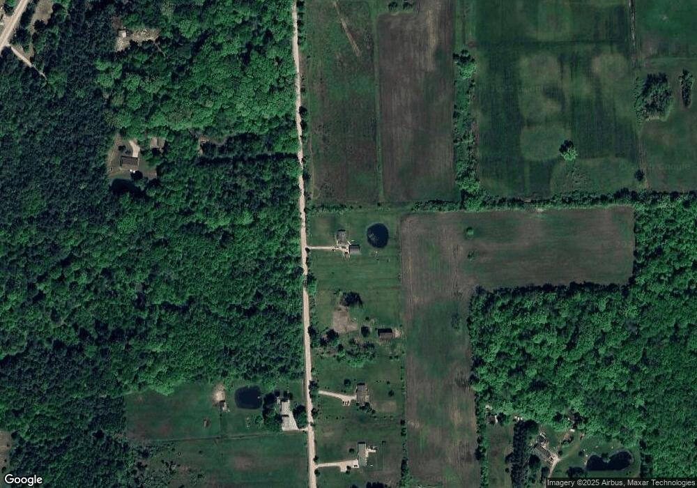
Map
Nearby Homes
- 8067 Lambs Rd
- VL Lambs Rd
- 8237 Lambs Rd
- 0 Sparling Unit 20230091288
- 7710 Sparling Rd
- 1900 Burns Rd
- 1533 Richman Rd
- 00 Sparling Rd
- 0 Sparling Rd Unit 2210034403
- 8542 Morris Rd
- 2759 Goodells Rd
- 8840 Marquette Rd
- 1971 Hyde Park Rd
- 2906 Castor Rd
- 1688 Sturdevant Rd
- 1371 Sturdevant Rd
- 1261 Sturdevant Rd
- 355 Henry St
- 6928 Smiths Creek Rd
- 6417 Dove Rd